Head’s up for anyone mapping in Vermont, VCGI’s 15cm imagery taken in 2023 has started showing up in the VIP Orthoimagery layers! For the past year those layers had been showing 30cm imagery taken in 2021 for the northeast corner of the state, and 2022 for the rest of the state. The newer 2023 imagery will be available in select corridors across VT covering the most populous cities and towns and providing twice the resolution. Here’s a map showing which imagery is available where.
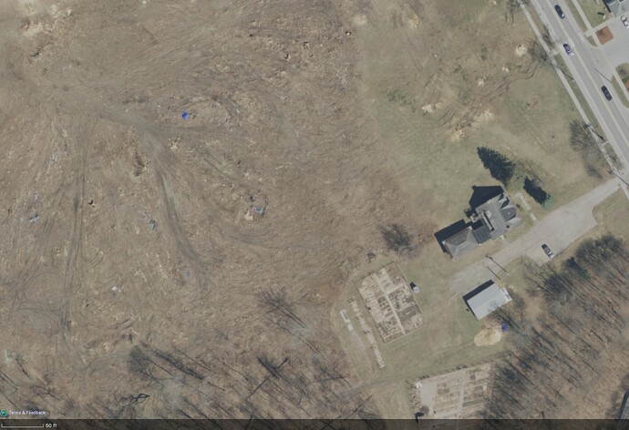
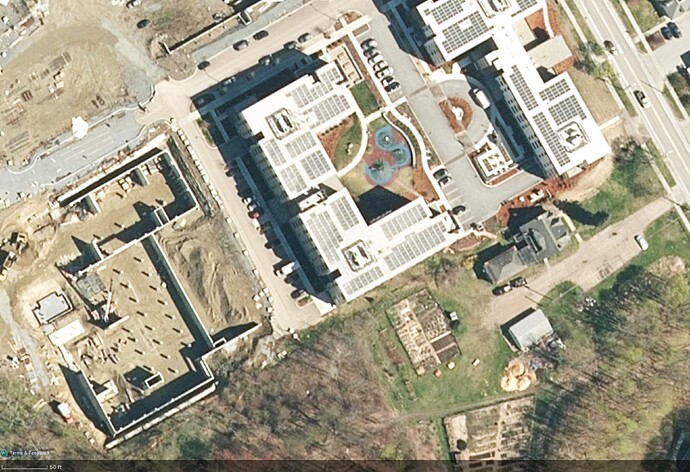
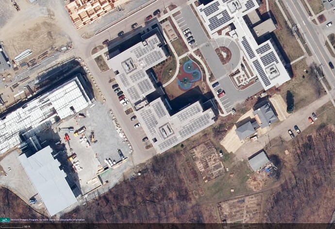
The previous round of 15cm resolution VT imagery is still currently available in the ESRI World Imagery layer at the highest zoom levels. This imagery was taken between 2016 and 2020 depending on the area of the state. At mid zoom levels this layer is showing the newer 30cm VT imagery from 2021/2022, so I expect ESRI will incorporate the new 15cm imagery at some point soon. Here’s an example construction site showing the progression:
2018 15cm - ESRI World Imagery highest zoom
2022 30cm - ESRI World Imagery mid zoom
2023 15cm - VIP Orthoimagery all zooms
Time to check all the new construction I’ve mapped with estimated positions over the past few years.


