I don’t know if Apple has a specific Trademark on all names with an “i” in front of it, but as there exists “iRobot” I guess it’s ok?
Maybe something like “iMapper” or “iMapOSM” or whatever is cool and short. The “i” would imply that it’s an iOS only app.
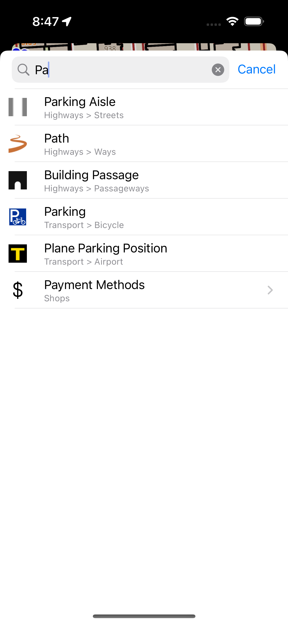
I am a little surprised that “OpenStreetEditor” violates the community rules. I like the suggestions made by @mcliquid. I am not good at naming but will toss out “MobileMapper”.
Do you plan on making this available in the iOS store? It looks like something I would like to try using. I still fumble around when making edits with GoMap! which is, I believe, the only current OSM mapping app in the iPhone store (I don’t consider the map edit functions of OsmAnd to be usable).
If you are not able to release it on the iOS store I guess I will have to learn how to compile and install it from source. . .
Yes, the application will appear in the AppStore after testing is over.
Now you can also install it.
To do this, install the TestFlight application from Apple and follow the link to install OpenStreetEditor
I have installed Test Flight and installed your beta app and am playing around with it. I don’t have, nor particularly want, a Telegram account to chat there.
Questions:
How does one add the sources information when committing a change?
Is there a way to add an aerial imagery background?
In JOSM and in Go Map! there is a field on the same dialogue labeled “Sources” where you should tell where the data came from (e.g. “Bing Imagery”, “survey”, “local knowledge”, etc.). That replaces the older method of adding a source=* tag on each object. I am attaching a screenshot of the Go Map! version of this.