A year or two I added a huge amount of natural areas in my local stomping grounds, doing it manually by tracing satellite imagery. Of course, in much of Europe everything is already covered. I’m not sure if by hand or by import.
Recently I’ve started to wonder whether this sort of large-scale “cover everything” approach is within the scope of OSM (And by the way, how do we decide what is in or out of scope?) given that there are existing high-quality landcover datasets, at least within the US.
Here’s my question: If it’s possible to do in a high-quality way, should we mass-import these datasets to cover all of the US? If not, doesn’t that imply that large-scale landcover / natural mapping is out of scope of OSM?
no. Not importing something (for one reason or another) does not mean that mapping it is out of scope for OSM
if it’s possible and there are people interested in doing this - then it may be a good idea.
For start, note licensing and conflation with existing data: something mapped already may be higher quality than what would be imported.
yes
Depends on area. Note that some well looking areas are actually really bad because imported data is not as good as it looks - but comparing with aerial starts to reveal issues.
Good points! To clarify, I’m not trying to “gotcha” anyone with my main question, just generate some discussion. Can you expand at all about your opinion(s) on how things should be in or out of scope?
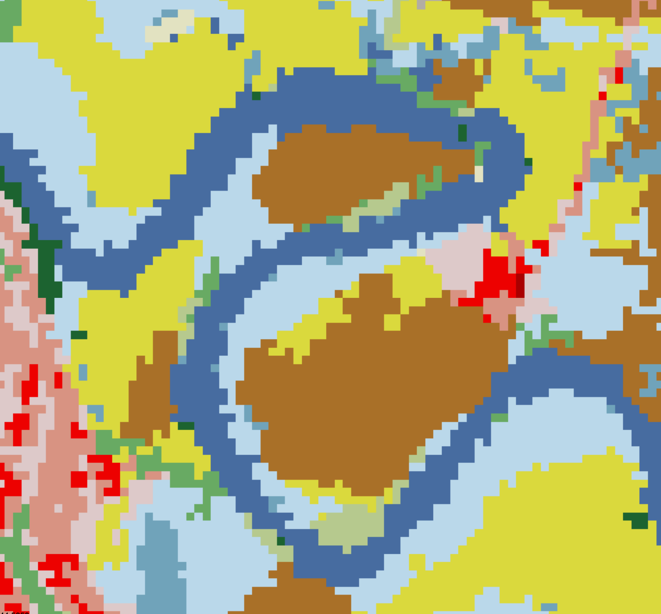
I guess it depends on what is meant by high-quality. This particular data set (US NLCD) covers the whole United States, but the resolution is not particularly high:
I’d not be in favor of importing the low resolution NLCD data into OSM. However, a higher resolution landcover dataset was recently imported in Forida with decent results: Florida Landuse Import - OpenStreetMap Wiki