I was looking at the borders of Western Sahara and I noticed that in several places the Moroccan berm enters Mauritanian territory. I would just like to know if the border between Morocco and Mauritania should be redrawn to follow the berm, as does the border between Morocco and the Sahrawi Arab Democratic Republic. This would better fit with the situation on the ground, since the land behind the berm is almost certainly controlled by Morocco.
Hi SuperZelda86, there are lots of situations like that for instance rivers, where the border was agreed to be in the middle, changed their flow or river bed. The states can agree not to change the border.
The border is as far as I know disputed, both governments should solve this between them. Although Marroco has been the invader.
What you’re saying makes sense - if there’s an overlap between the Moroccan berm and the Mauritania border then I think that it’s reasonable to assume that the berm is “the border” in OSM terms here (as in the actual demarcation line between military forces). Where are you seeing this? I’ve had a quick look and can’t (at first glance and low zoom) see an immediate problem:
Before making any changes it’d be good to try and get input from mappers in Mauritania (since the change you’re suggesting would be an inward move of that border). https://openstreetmap.community/ suggests only Facebook as a contact for the country, so, I’d probably mention it on Talk-africa Mailing List and probably also the OpenStreetMap Africa Telegram channel (which has a reasonable amount of traffic).
Best Regards,
Andy (from the DWG, who handled the discussions about the Morocco / SADR border when that was last discussed).
Hi SomeoneElse,
It’s more visible when editing. At each point where the Morocco-SADR border meets the Mauritania border, the wall continues through Mauritanian territory to the next meeting point.
Here’s an example: https://www.openstreetmap.org/edit#map=16/25.9964/-11.6711
Thanks for the contact options. I’ll be sure to get the opinions of some Mauritanian mappers.
I’m curious to know what the OSM position on this is as of 2025, as I can see the map still “respects” Mauritania’s official borders and doesn’t follow the Berm. Was it disregarded? Was there just silence where there should’ve been an answer from the Mauritanian community? I’m sorry to refloat the thread like this, but I can’t find anything on the internet
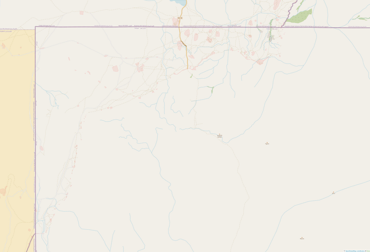
For clarity, can you link to the particular area that you’re looking at? As an example, there certainly seems to be some fortification here. However, what I said above (“Before making any changes it’d be good to try and get input from mappers in Mauritania”) still makes sense.
There is also this area south of Esmara sprinkled with Moroccan military facilities that follows a clear line in between both Moroccan-Mauritanian-Sahrawi tripoints. It just feels very arbitrary that it would respect the de jure border this way
By Wayback Machine the wall skips Mauritania. Did this recently change? Because by the satellite pictures it does seem like it takes a few kilometers of a shortcut through Mauritania.
That’s a Minurso map from 2017. I’m guessing that was based on either “a vague idea of where they think it went” or perhaps “a route that wouldn’t cause political issues in Mauritania”. I’m guessing actually the latter, because OSM had the berm running through Mauritania in 2015 (based I presume on aerial imagery).