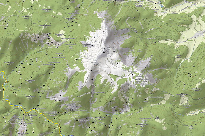
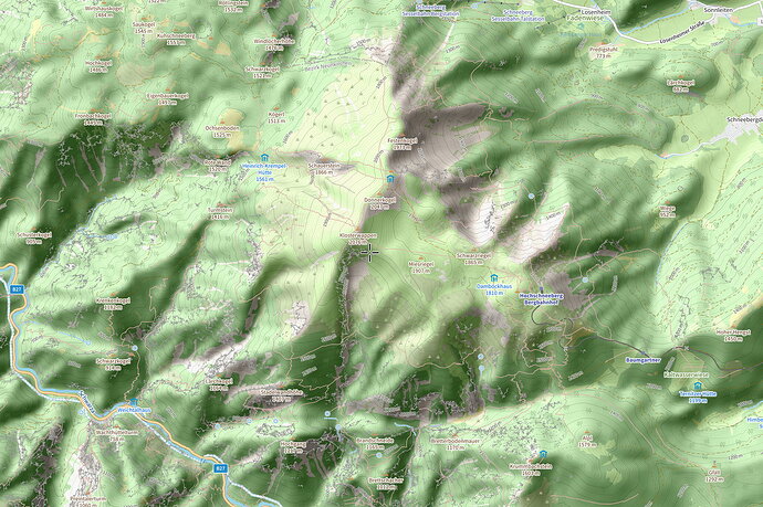
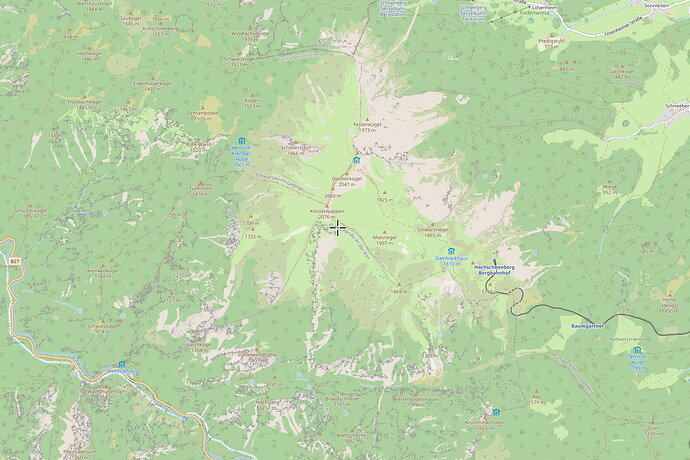
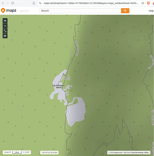
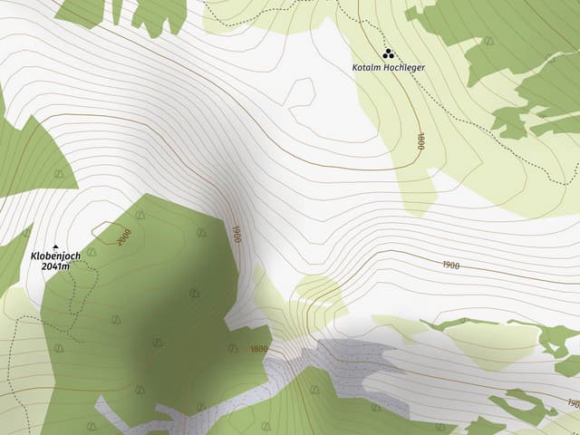
Hello, I am the owner of mapz.com and would like to thank you for the great feedback on our outdoor map style. The map was developed by a former employee based on his individual alpine hiking experiences and his wishes for a good outdoor map.
We would be happy to share this map style with the OSM community. However, the realisation could be a bit tricky.
To enable the features praised by @PPete2 and @osmuser63783, such as the clever labelling of valleys, peaks, mountain-ranges and islands, we use intensive post-processing of the OSM data. The process takes an extremely long time, even on a very well-equipped VM. For this reason, we only update the data every three months, which is sufficient for our purposes.
We calculate the contour lines from Copernicus data currently only for Europe. But this could certainly be supplemented.
Implementation:
It would certainly be easiest if we provided the tiles on dedicated server instances for OSM. We can ensure uptime and availability.
However, we have no experience with the expected traffic and could only sponsor the project to a certain extent from our own resources, as we are a (very) small enterprise. This applies to the servers, the storage of world-wide tiles for all required zoom levels, the traffic and the updates, which according to the New Tile Layers Policy should take place every 14 days at the latest. This is a real challenge due to the time-consuming post-processing and the seeding time.
If an on-premise solution for OSM is also an option, we are also happy to support this.
One more thought: The styling is currently implemented with CartoCSS and Mapnik, so it is purely raster-based. Will raster data still be supported in the future or would it be better to implement a new map style directly with vector tiles?
So much for today, I look forward to your feedback.
Tim
