Here’s one example that divides some mappers in PL.

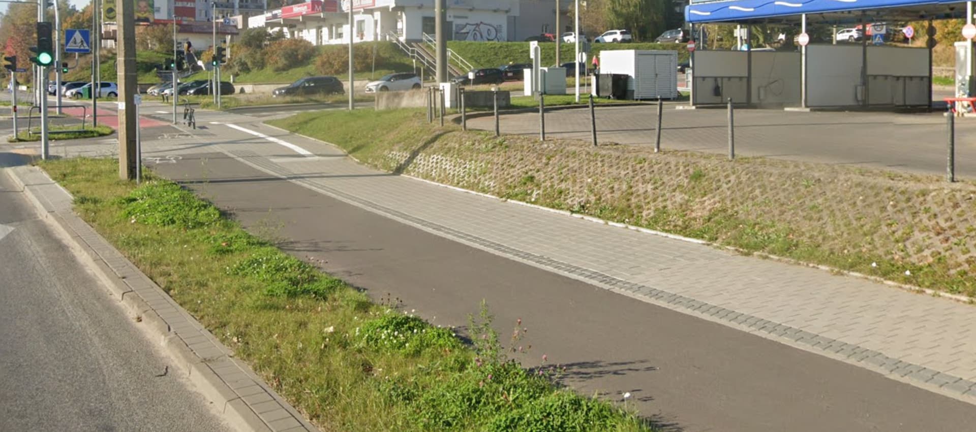
I asked on OSM Poland Discord how to map it and most mappers replies as 1 line with proper tags like segregated=yes. We even had local discussion for paths in Tricity, because there were some paths like this mapped as 2 lanes, some as 1 lane. Most mappers opted for 1 lane with proper tags.