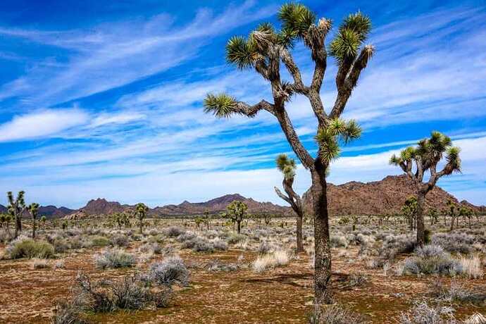
I agree with the above tips, as well as the notion that OSM’s predominant tags are lacking for arid regions like the Southwest US.
I would lean toward some scheme where the density of vegetation and its average height could be specified.
I’ve been using scrub:density for this, although it’s undocumented and usage is limited (~2000 worldwide): scrub:density | Keys | OpenStreetMap Taginfo.
For an example, here’s my attempt at tagging landcover in Joshua Tree: Relation: 15533394 | OpenStreetMap. I went natural=scrub + scrub:density=sparse and a thorough description.
