On June 4, 1996 the City Charter approved a Neighborhood Council system as part of City government. There are 18 different neighborhoods in the City of Missoula. The Neighborhood Council (all residents within the boundary) elect a group of neighbors to be their Leadership Team and that team meets on a regular basis to represent their community. The Missoula Neighborhoods office assists the Leadership Team, develops and manages Neighborhood Energizers (including the Neighborhood Grant Program), and is a resource to the City of Missoula for resident inquiries and community engagement.
…I’m led to believe that these might be candidates for administrative boundaries tagged admin_level=9 in Montana. What do folks think?
Certainly sounds like it. Or possibly even admin_level=10 since level 9 gets used for incorporated villages and similar that have their own distinct government but are also part of a larger level 8 municipality.
This reminds me of Cincinnati’s system of quasi-governmental community councils and their (sometimes disputed) territories, which I tagged as admin_level=10 for many years ago, continuing the pattern of skipping odd numbers for forward compatibility. The residents aren’t elected officials but do carry out a function of the government. The bar for an administrative neighborhood is probably a little bit lower than this, actually, but the formal affiliation with the municipal government is an important distinction from, say, a homeowner’s association that happens to manage a subdivision within the city.
Looks like the Missoula ones are more direct somewhat selfgoverning subdivisions of the city proper, so 9 might work there. It’s a bit of a grey area where the 9/10 divide is IMO.
We do this around Baltimore. It’s in the wiki somewhere I recall. I think 10 for neighborhood and 9 is for sub incorporated areas like wards. On the now Id love to get this figured out
It remains a little fuzzy whether admin_level=9 is for “wards” (and 10 for “neighborhoods,” note I didn’t spell that with a u because we’re in the USA here…a place=neighbourhood is a specific thing in OSM) as a “ward” can also be (more-or-less correctly) a sort of boundary=political entity.
These vary wildly across the 50 states. Even though I’ve been a part of United States admin_level discussions for over a decade, it continues to feel like a heavy lift to gain consensus here, though “we’re doing it” (imagine Rosie the Riveter, red 'kerchief tying her hair back, showing you her bicep muscle).
Really, the more we talk about this and continue to refine things (they just continue to get more and more refined with more and more states and more and more cities and more and more wards and neighborhoods as we continue to hear from more and more voices), the better.
As it’s off-topic (sort of) I’m only barely talking about how “homeowner associations” (discussed in our wiki) can get smeared across a whole bunch of legal(ish) entities which might be de facto municipal corporations even as they may not necessarily be de jure (administrative) governments properly denoted with admin_level=10 or boundary=political or boundary=HOA or something like that…case law emerges, tagging slowly evolves. State by state, etc. Update our map, update our wiki.
“In cities which contain both wards and neighborhoods (New Orleans?), it may make sense to tag the wards admin_level=9 and the neighborhoods admin_level=10, to preserve this hierarchy.”
So, if/as OSM maps these “Missoula boards” at admin_level=10 today, there is room for future “fitting and fiddling” with 9 (as we seem to find with these even / odd splits-and-jumps in how we “generally assign” the 2-4-6-8-10 values in the USA). Though, I agree with Miles that “grey area” is about right.
10 feels right to me, especially when the neighborhood association or community association has a bonafide legal structure with elected president and such. Those function much like a small government.
HOAs can be empowered to have a whole range of government functions, eg collecting taxes (dues), providing trash and snow removal, paving roads, security, and operating recreational centers.
I believe in mapping their boundaries as administrative boundaries for this reason, and because their boundaries are precisely defined. They will only have standing over certain parcels, usually defined by a plat or deed.
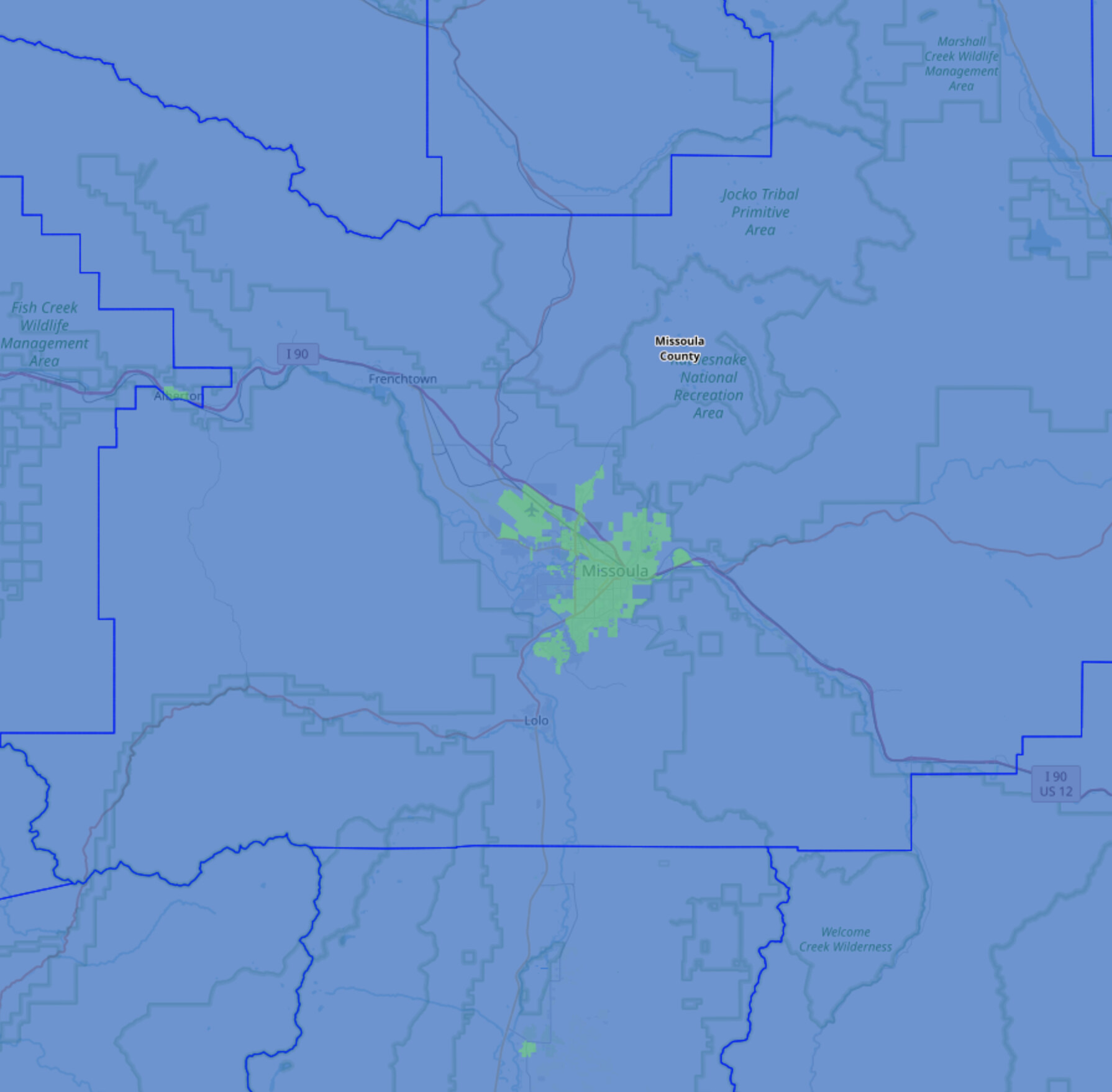
Should these “neighborhood boards as admin boundaries” be entered into OSM (whether with admin_level=9 or admin_level=10) they will appear here, though please do be sure that their “layer checkbox” is checked to see them properly displayed. (And perhaps you’d want to zoom in a bit).
I feel pretty strongly that conventional HOAs are not government entities, and their service areas are not administrative territories. I pay dues to several organizations, some of which have well-defined service areas and some of which have elected boards. If dues were taxes, I’d be able to claim a deduction on them as such. Some HOAs do provide a wide range of services – as private organizations to private members on private property.
I’ve often argued that an administrative boundary need not correspond to a recognizable unit of government. This came in handy when discussing New England’s various forms of unorganized territories. But to the extent that we use an organization as the justification for an administrative boundary, there is a clear enough distinction between public and private.
Granted, Florida’s former Reedy Creek Improvement District blurred the lines. A government entity can even exist solely for the benefit of a private entity, as in Pennsylvania’s S.N.P.J. One of Cincinnati’s neighborhoods is both an apartment complex and a coextensive neighborhood (not yet mapped) represented by a neighborhood council. But a typical HOA is nothing like these edge cases. If we accept the arguments so far in favor of HOAs as administrative boundaries, do we draw a boundary around condo buildings? Office parks? Country clubs?
There are many kinds of bona fide government entities with well-defined boundaries that we so far don’t map as administrative boundaries. I live within the territory of probably a hundred different special districts, arms of the government. In some western states, moderately populated but unincorporated areas are served by community service districts or public service districts established by the county. In some unincorporated areas, a variety of government services are organized according to school district boundaries or electoral boundaries. We don’t even have consensus on tagging the territorial boundaries of sovereign indigenous groups as administrative boundaries.
The names and extents of planned residential subdivisions are often an essential way to subdivide suburbia and establish visual hierarchy on a map. But there are other tools for this besides boundary=administrative, such as named landuse areas and perhaps boundary=place relations. Let’s not stretch the notion of an administrative boundary just because it shares some characteristics with one.
Nice, Minh: that throws a serious dart that lands in the Earth with specific boundaries.
Wonderfully stated as to how specific and deliberate individuals and communities alike assert boundaries: an outstanding discussion on modern sociopolitical edge cases.
Hey, everyone: OSM (freakin’) rocks!
Take a deep breath, everybody. This is a serious discussion.