Hello Thailand Community,
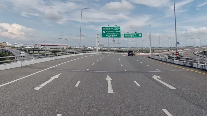
Grab is going to improve the road attributes related to lane guidance. We’ll be reviewing and mapping missing lanes and turn lanes information in major intersections (motorways, trunk, primary, secondary and tertiary).
Regions we are reviewing/mapping:
Starting with the following city [cities]:
- Bangkok
We’ll be following OSM Key:turn - OpenStreetMap Wiki and Lanes - OpenStreetMap Wiki global and local policies, along with any other guidelines as appropriate.
Apart from the tags that refer to turn lanes and lane count information, in some specific situations, we will also use:
- change:lanes=* on the OSM way, to indicate that there is a lane change restriction, as described here
- lane_markings=no on the OSM way, for existing information, where there are no markings that separate the individual lanes of the road.
Plugins & Paint Style : Turn Lane Editor, Lanes and Road Attributes map paint style.
Please feel free to reach out to @GRABOSM , @mapdevsaikat, @daniela-rus for any further queries & suggestions.
