The situation remains as described. For completeness, I am documenting what I find from the different imagery sources now, and what I found on the Esri Wayback site. I did not find the previous Mapbox Satellite imagery on the Wayback site, but I did verify the dates of the Esri imagery I get.
In the Tulsa city limits and other urban areas that border Tulsa, I generally get this quality of images.
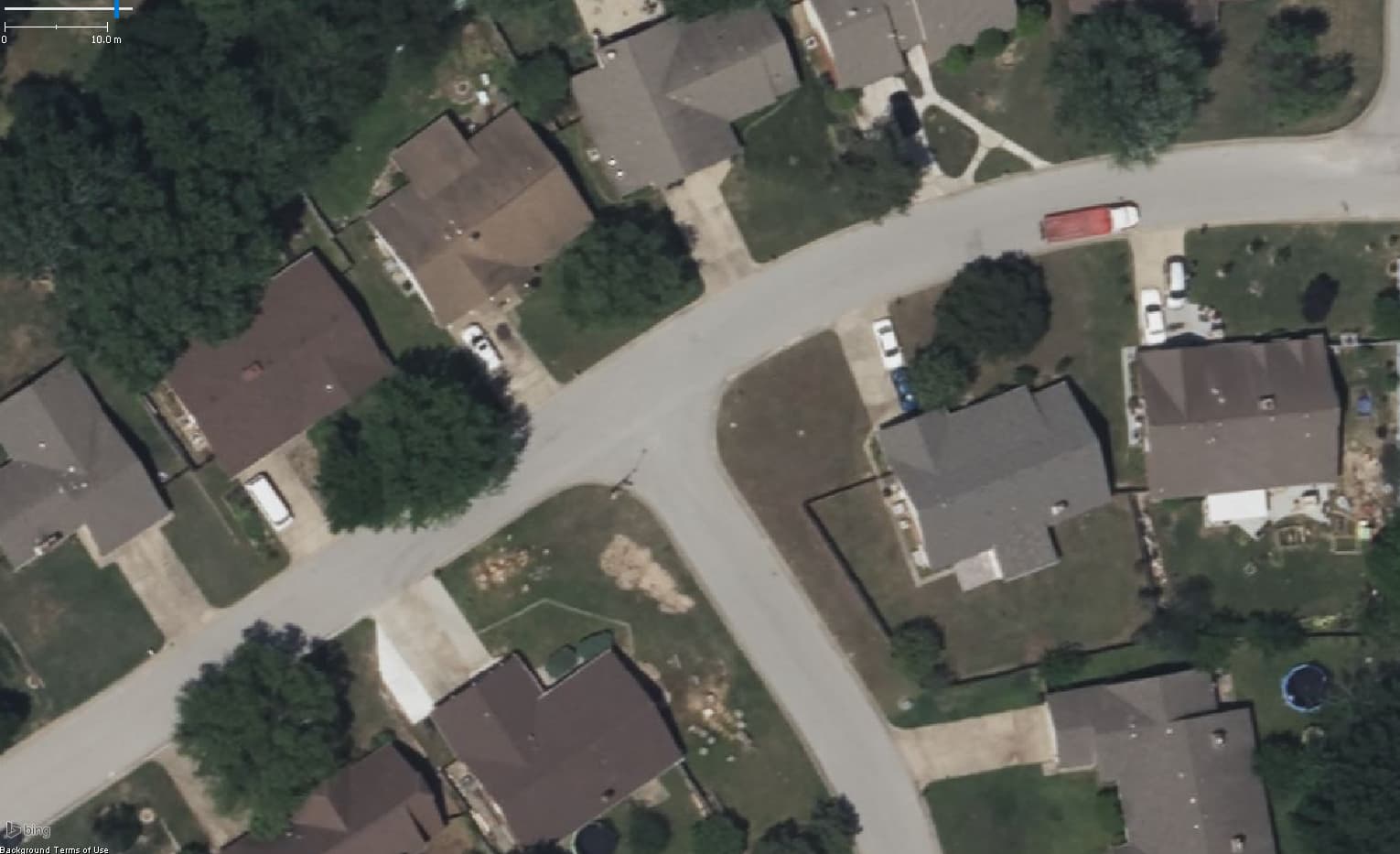
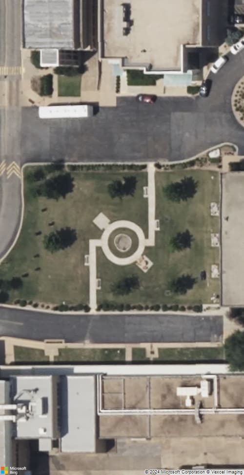
From Bing, I get an image that’s usually recent within the last couple of years, and clear enough to map from, but just a little blurry. The cracks in the center of a concrete road can’t be seen or are not well defined. Here is an example. The roads are asphalt here, but the driveways are concrete. The cracks and expansion joints in the driveways can be seen, but are not well defined.
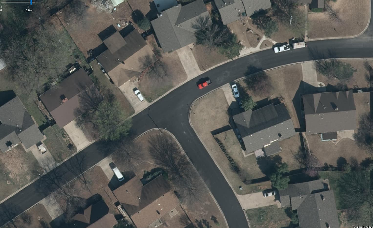
Generally within the city, I get the same thing from both Esri and Esri Clarity. When zoomed out, I get the 2014 imagery that you were talking about. It’s less clear than Bing, but seems to be more consistently aligned from one place to another (but all of the sources are getting better on alignment). It also is better for tracing streams or roads with a lot of tree cover, since it’s all winter imagery with no leaves on the trees. When I go to higher zoom levels, instead of the 2014 imagery I get some imagery from 2016 that is quite a bit clearer than Bing. (Outside of the city, in the suburbs I generally only get the 2014 imagery.) With the 2016 imagery, on a concrete road, the cracks are usually well defined so that I can easily map the centerline of a road if they put an expansion joint in the center of the concrete. Here is what it looks like. You can see all the cracks in the driveways, with better definition than the Bing Imagery. You can tell that the thing on the east side of the intersection is very likely a fire hydrant, and see that there’s probably no stop sign at this intersection.
What I previously was getting from Mapbox: if you can imagine a significant increase in resolution over the 2016 Esri Clarity imagery, that’s what I was getting. I could always see the cracks/centerlines of roads, not just usually. For a fire hydrant, I could usually see a fire-hydrant shaped shadow and be absolutely sure that’s what it was and not just a phone pedestal. Depending on the angle of the sun, I could almost always tell the difference between a stop sign and a yield sign based on the shape of the shadow.
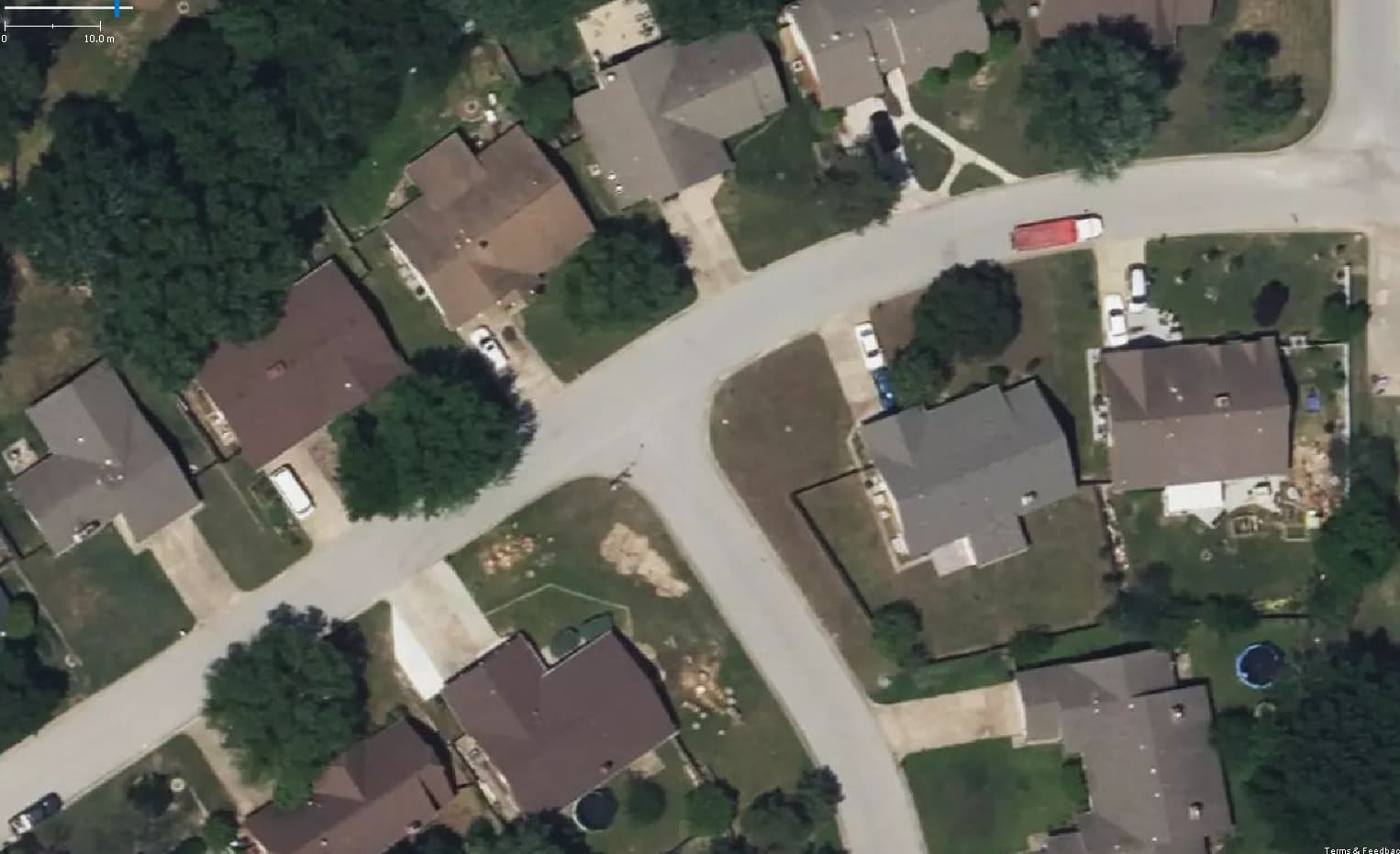
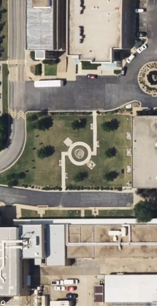
What I currently get from Mapbox Satellite: it’s just a copy of the Bing imagery with the color and clarity enhanced a bit. Not really useful. If it was at least from a different time period it could be useful for comparison, but it’s really not useful since it’s just a copy of the same imagery from Bing. Here’s the screen shot.
My guess is the previous imagery was probably coming from INCOG (the Indian Nations Council of Governments), a Native American government organization based in Tulsa, and maybe they decided not to provide the imagery to Mapbox anymore. But, that’s just a guess.