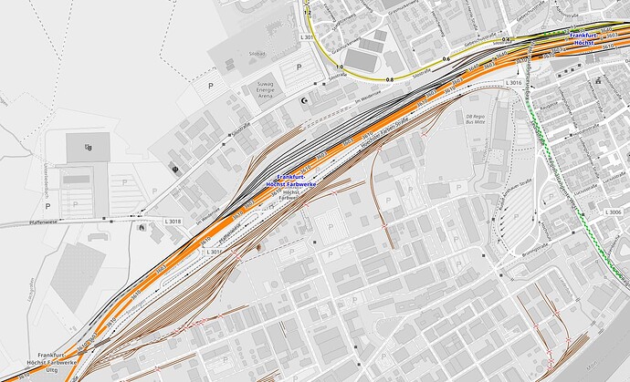
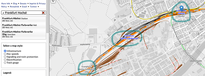
In OpenRailway map, What is difference between station marked in dark color and grey color (for e.g. Frankfurt Hochst (in Blue Color) and Frankfurt Hochst Farbweke (in Grey color)
Hallo und willkommen bei OSM
Ich verstehe die Frage nicht. “Ffm Höchst” und “Ffm Höchst Farbwerke” sind beide blau. Meinst Du die Überleitung in grau unten links (“… Ültg”)?
Maybe,… in OpenRailwayMap…
The grey station name behind the blue one is nothing more but whatever is rendered on Carto and disappears if you disable the background.
As for the “Ültg”-thingy: That’s the junction node.
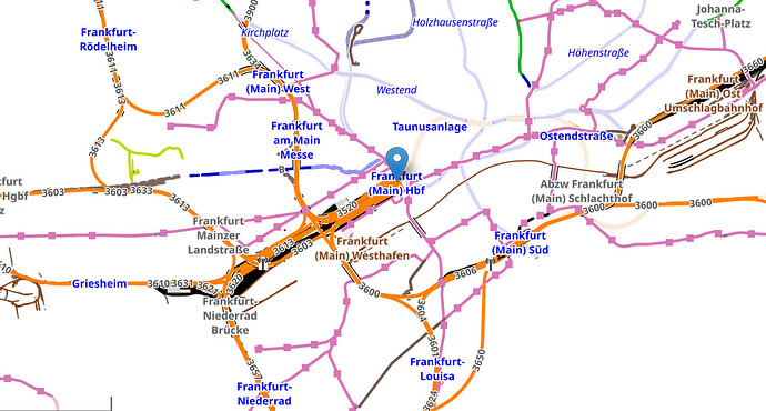
OK I have knowm how to disable background now. My dielemma is that while mapping routes on a section, should I include stations which are marked in grey colour ? For eg. in the image attached, the route is Frankfurt (Main) HBF → Frankfurt Niederrad Brucke → Franfurt Niederrad. Now 1st and 3rd entries are in blue and second one is grayed. So I understand I should consider only 1st and 3rd entry and ignore 2nd entry as either it is junction or not a station on the identified section.
The map key is broken w.r.t. to labels.
Frankfurt-Niederrad Brücke is a junction.
The meanings are:
- blue for
railway=station/halt - blue with italic font:
railway=station/halt+station=light_rail/subway - rose for
railway=tram_stop - brown for
railway=yard - grey for
railway=junction/service_station/crossover/site
You can type the name in the search field and run a query. This will return the type of facility as a human readable string.
Thanks a ton , Much appreciate the revert. I am working towards integrating railwaymap for germany in postgres SQL so that I can extract needed data by using SQL queries instead of manually scrapping from web-site. Any pointer to relevant and precise blog/tutorial ?


