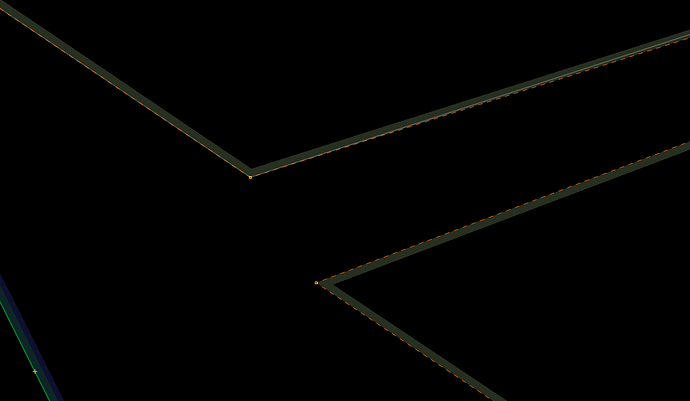
I am expanding a state park that has recently added new property parcels. The new parcel is on the other side of a dirt road and the NJ Wiki suggests removing the roads because they needlessly complicate the map. (not necessarily something I agree with for several reasons, but I digress). Any, after importing new parcel, I am left with two non-overlapping polygons which I wish to connect together. How is best way to do this? I suppose I could expand the existing polygon, node by node, and “trace” over the new parcel, but is that the best way?
If the existing state park polygon is a multipolygon relation: select the relation and the new parcel and Tools → Update multipolygon
If the existing state park polygon is a closed way: select it and the new parcel and Tools → Create Multipolygon
Could you link to the existing OSM feature so we could see exactly what is going on?
It was right here, but my impatience got the best of me and I wound up doing the latter option that I mentioned. ![]()
Still learning, but it looks like the existing polygon was an existing multipolygon, so I probably would have used the first method you had given me.
If not already known, acquaint yourself with the JOSM plugin utils2plugin and their brilliant functions of Shft+J, Shft+P and Alt+X (about latter I wrote an OP, having awesome ‘undocumented’ capabilities). Best practice for me is to avoid at all effort to create a multipolygon with a multipart outline. Keep it simple, KISS, your have 1899 nodes to max out on in a single line and the follow function traces existing outlines at 1000 nodes a minute. Hardly any reason at all to cut up MP outlines.
