Issues with Pin Code (Postal/ZIP code)

Hi, Recently we have been using OSM for working around a correct address for a location pin, but there are some issues we are facing with regards to the response zip code coming in from OSM API for the Location pin.

The Pin code is incorrect for various places and it alters drastically in less than 10 m distance from an original point.

Can someone help as to how this can be taken care off?

I think this is because the database for the ZIP code has not been updated from the OSM side. This is not just for India (Where I am currently facing the most issues) but in European countries too.
Please refer to these screenshots to understand the issue at hand.
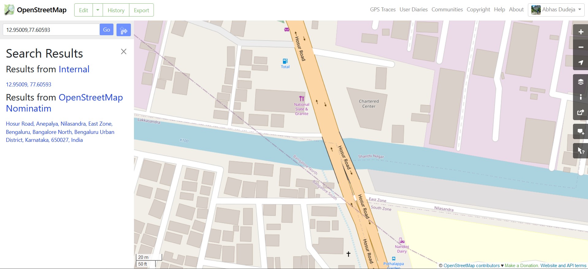
I cannot add other screenshot, so I am putting it as a link
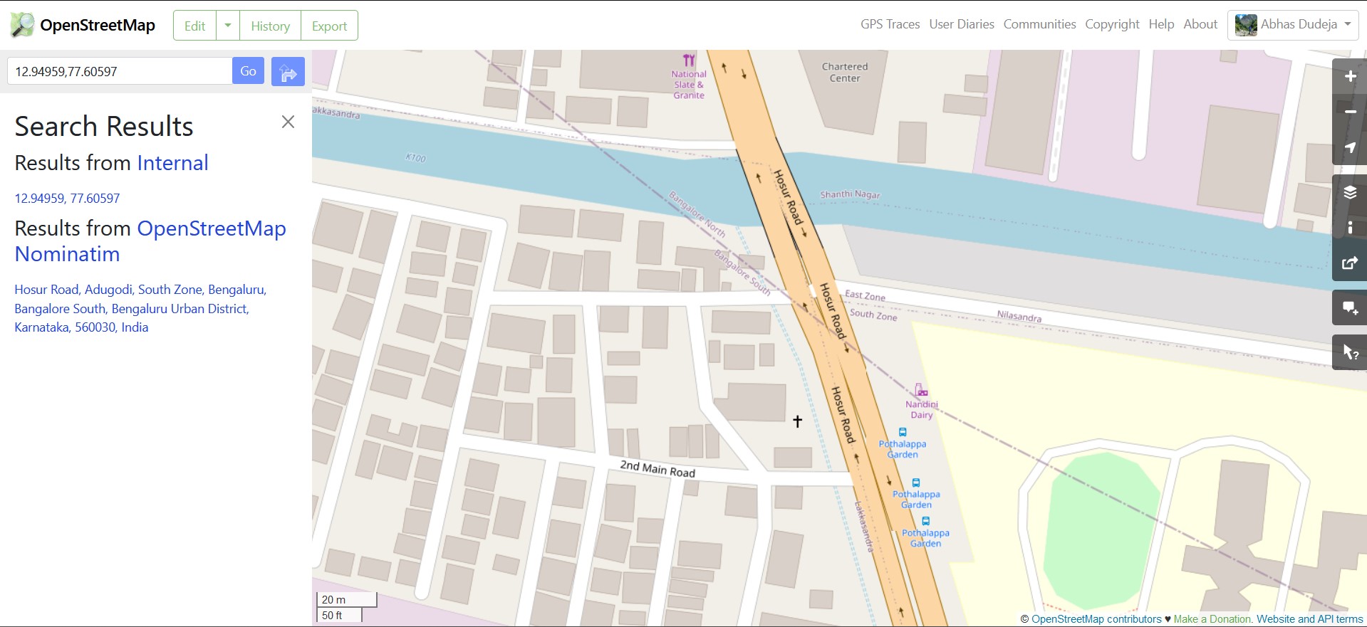
Imgur

Thanks!

Crossposted at https://help.openstreetmap.org/questions/87819/issues-with-pin-code-postalzip-code

–

Now my search has led me to this point on Nominatim Documentation on how Postcodes are inferred or generated. https://nominatim.openstreetmap.org/ui/details.html?osmtype=R&osmid=7871357&class=boundary Click on Computed Postcodes (how?) and refer to the docs https://nominatim.org/release-docs/latest/admin/Maintenance/#updating-postcodes and a related article https://nominatim.org/2022/06/26/state-of-postcodes.html

–

2 Answers

2

OSM is a map that you can edit yourself. If you know (from a source that is compatible with OSM, such as survey) that a particular building has a particular postal code you can edit OSM to add it. If this information is not added then Nominatim (which you seem to be using) will return less accurate results.

In particular I’d suggest using https://nominatim.openstreetmap.org/ui/search.html to get more information about why it is returning what it is returning.

Hi, I did that, the database which Nominatim uses is incorrect. The Pincodes data added to them are incorrect. You can check this here (this is incorrect) https://nominatim.openstreetmap.org/ui/details.html?place_id=330612950

–

"Macho Fitness Centre" is mapped in OSM with postcode 650027: https://www.openstreetmap.org/node/4489921297 . Is that what you are saying is incorrect? If so then as already mentioned, if you know the correct code from a compatible source you can edit this data.

–

I did edit the pincode here but the problem is that there is an administrative zone which has incorrect postal code attached to it

–

I don't understand what "pincode" means here. Do you mean Zip code (American) or Postal code (rest of the world)?

–

Postal Code, yes!

–

This is the incorrect ZIP code, whereas the other one is the correct ZIP Code.