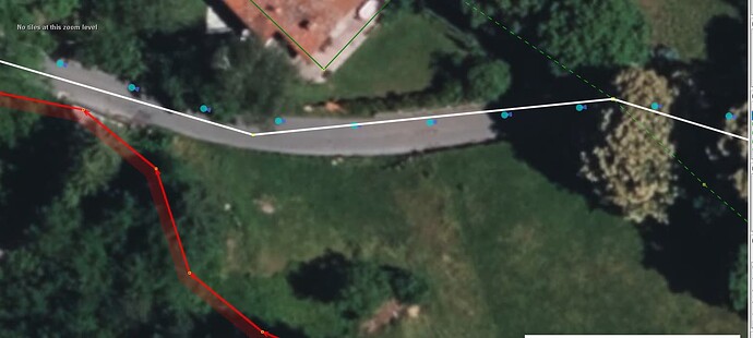
While splitting a large forest relation of ‘only’ 1443 members along the roads passing thru, the below snapscreen was taken from JOSM with StreetSide blobs representing where a groundbased picture was taken is rather benign in indicating the road could use some curve smoothing and shifting.
The below snapscreen indicates the travel direction in which the image was recorded suggests more adjustment is needed, IF, the GPS is accurate and no lane swerving took place.
The question is, are these MS StreetSide view positions reliable to use as a lead to correct way lays, quasi geolocated in the correct spots?

