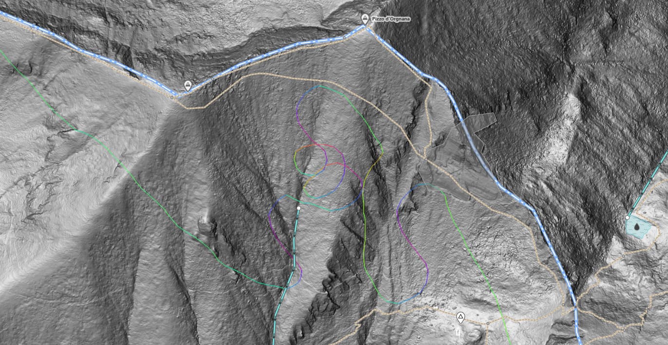
I guess you’re looking for the author of the curls, the URL points to the bbox above the curls. There is no user and from what you can see in the screenshot, the WPs cannot be followed. I assume the author is someone concerned about their privacy and marked the track as private.
They’re in the OSM GPS tiles, so they would have been public at the time that they were uploaded. They’re not public now (just GPS points) so the person who uploaded them likely changed visibility. There’s no way for the GPS tiles to know when a trace has changed visibility, and it’d be technically complicated to “modify the layer to delete a trace”, so the GPS tiles don’t get updated when that happens.
The upload date (in the trackpoints of the download above, and visible in JOSM) is 2015-05-28. You could maybe have a look and see if anyone did any mapping in the area based on drone / helicopter imagery shortly after that date and ask them