That’s a fair point as long as the mapped paths are better than the alternative. Sometimes that seems to be a judgment call, but us mappers seem to have more inhibitions about making those judgment calls than do professional cartographers in their armchairs.
OSM has quite a bad reputation among some land managers in the U.S., because word has gotten out that the parade of hikers getting into trouble or destroying delicate habitats are relying on this thing called “© OpenStreetMap contributors”. We’re working hard to improve this situation, but you know, it’s a big country. Quite in contrast to the boasting in this thread, the reality is that most of the trails in this part of the world have been mapped remotely from very comfortable armchairs, leading to some less than ideal outcomes no matter what our documentation says.
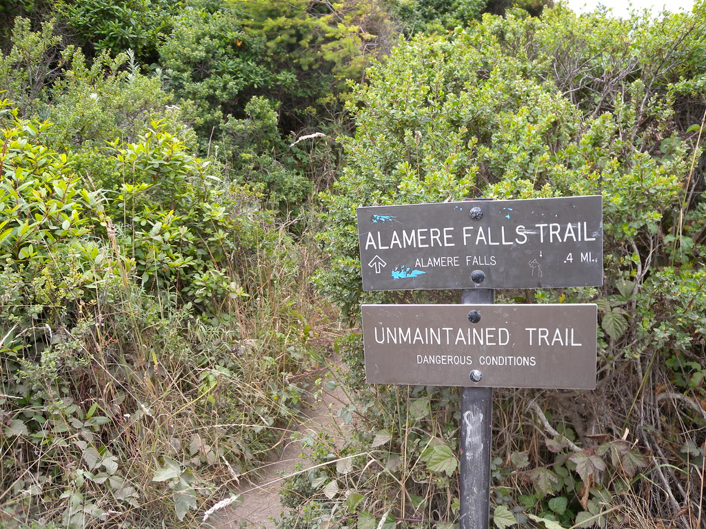
Sometimes mappers trust maps too much. This highway=path was originally traced from a decades-old USGS topo map[1] and presumably some corroborating hints in satellite imagery. The trail fell into disrepair and was abandoned. This sign was intentionally removed, but someone made a cairn to replace it.
Our coverage of this trail seems to have enabled the AllTrails user community to get away with confabulating an attractive “optional unsigned shortcut” for some time. It became an almost weekly site of helicopter rescues before the media picked up on it and both sites were corrected. Sure, more detailed tagging of physical characteristics would’ve made us feel better about ourselves, but there was a lack of groundtruth in the first place.
I get a pit in my stomach thinking of all the TIGER-imported abandoned mining roads that I saw looping around the mountains of southwestern West Virginia some eight years ago, that in a panic I retagged from highway=residential to highway=track or highway=path. I had no idea if these paths had been repurposed for the state’s up-and-coming mountain biking and ATV scene or if they had been completely abandoned decades ago. With only crude satellite imagery full of shadows, I couldn’t even tell if these old roads were even in the right place or actually traipsing up and down the mountainside with abandon.
But hey, at least an OSM-powered self-driving car wouldn’t attempt to traverse it anymore.
The “USGS Topographic Maps” layer available in iD and JOSM is a curated selection of USGS quadrangle maps from various pre-digital series. The layer doesn’t include newer series because the USGS started from scratch when going digital, ditching their famed but decrepit road coverage in favor of TeleNav (now TomTom) and all but eliminating trail coverage. ↩︎
