Local laws in my area (Seattle, WA, US) officially create crossings at nearly all intersections even when there are no markings, signals, or signage, so yes, in my region I would tag those as: highway=footway footway=crossing crossing:markings=no crossing:signals=no
I could understand arguments for crossing=informal or informal=yes depending on the local laws and understanding of what defines a crossing; regardless, mapping of the “not-crossings” is unrelated.
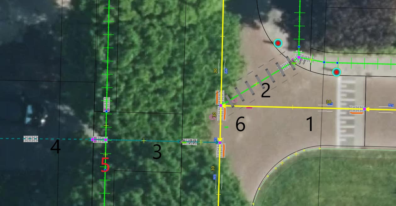
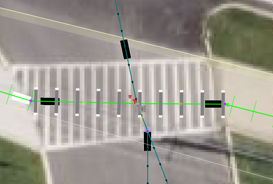
Municipality use all kind of constructions to cross, over a road or a junction.
They use a driveway_link (3) to the drive way (4) owned by the landowner. This (3) has multiple use is owned by the municipality, it is intend to be a part of the crossing (2) but you can only set *=crossingon a footway, path, cycleway, there for there a visualisation of tags.
Routing is a schematic thing, on the other hand we map topographically, we put the line in the middle of the road. Trying not to draw crossed, skewed lines. Therefore, we chose to set one section of the road (6) to foot=yes ( green (yes) pedestrian), the remaining residential will get foot=use_sidepath.
At (5 ) that is not a crossing, one could use another name for it. The residential (yellow) is at a junction with crossing located on a traffic_calming=table with the connection for foot barrier=kerbkerb=flush.
An identical law applies throughout California, but over here we haven’t been creating these theoretical crossings as a rule:
It’s one thing to map a crossing aggressively in a quiet residential neighborhood but quite another to map one in a business district where there’s usually a good reason for the lack of any crossing accommodations. I’m not against mapping something so that one of these theoretical crossings doesn’t get confused with a crossing=no situation (due to signs or sheer impassability), but it should be something other than a highway=crossing or footway=crossing that needs to get canceled out by a variety of secondary tags.
I think part of the problem for quiet residential neighbourhoods in Ireland is that there isn’t really any special legal status for pedestrians at intersections, compared to crossing the road in the middle of a block. Sometimes there might be physical indications of an intention that pedestrians cross at certain places, such a dipped kerb. In street level imagery I can see that there are dipped kerbs for pedestrians proceeding on the east side of the street - as reflected in the mapped crossing. But there is no specific provision for pedestrians wanting to cross from west to east. In practice it is easy enough to cross by choosing one of the driveways and taking advantage of its dipped kerb. But I can certainly understand why a mapper wouldn’t map a crossing there.
On “private” driveways, would you split the way into “private” and “non private” parts of the driveway? Or would the part between the footway and centre line have some completely different tag to indicate it is a “link” rather than an actual driveway?
The length of the conflict is only one risk factor. A rigorous analysis of collision risk would need to consider not only the conflicting feature more holistically, using whatever tags you might find on the crossing feature. Given that, I don’t think it’s unreasonable to expect a crossing driveway to have width=* or a proxy like lanes=* in order to satisfy this use case, even if that’s currently about as rare as isolating a footway=crossing at a driveway.
For example, I don’t think we can assume that a long conflict with an uncontrolled parking lot is proportionally riskier than a short conflict with a gas station entrance:
I don’t quite understand this line - it sounds like there is an unmarked crossing at those locations you are choosing not to map. That’s fine - no one is saying you are obligated to map those, but it’s the responsibility of the renderer, router, and traveler to weigh the costs and pick the appropriate crossing depending on their needs.
A traveler in a wheelchair during a busy time of day would want their router to penalize unmarked, unsignalized crossings intersecting high-classification roadways; an able-bodied athlete out for a run during a quiet time of day would not want to be routed pointlessly around the valid crossing and across three well-delineated ones just to cross the road.
I disagree - it’s the other crossings with markings or signals which are elevated above the unmarked or unsignalized crossings; to assume that a crossing has markings and signals by default (and that this needs to be “cancelled out” by additional =no tags) is incorrect.
Definitely agree - something like (intersectingHighwayClassification x crossingLength) does give a better picture, and one valid way to map that crossingLength is with a crossing way along its length. This is the inherent step up of information from node → way → area.
An aside: Thanks, as always, for your detailed and well-considered responses @Minh_Nguyen I appreciate your engagement and perspective.
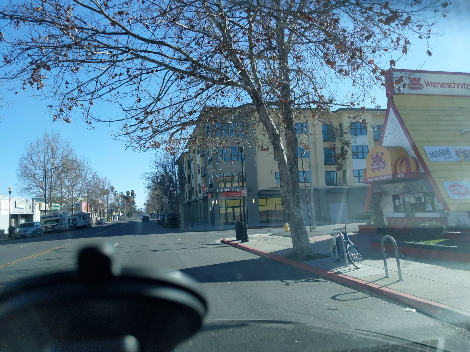
In the example I gave, there’s unquestionably an unmarked crossing across Edwards Avenue (the side street in the following photo). There are curb ramps on either side, and the stop line has enough of a setback to give pedestrians ample room to cross. The question is whether there’s also a pair of unmarked crossings across South First Street before and after this intersection.
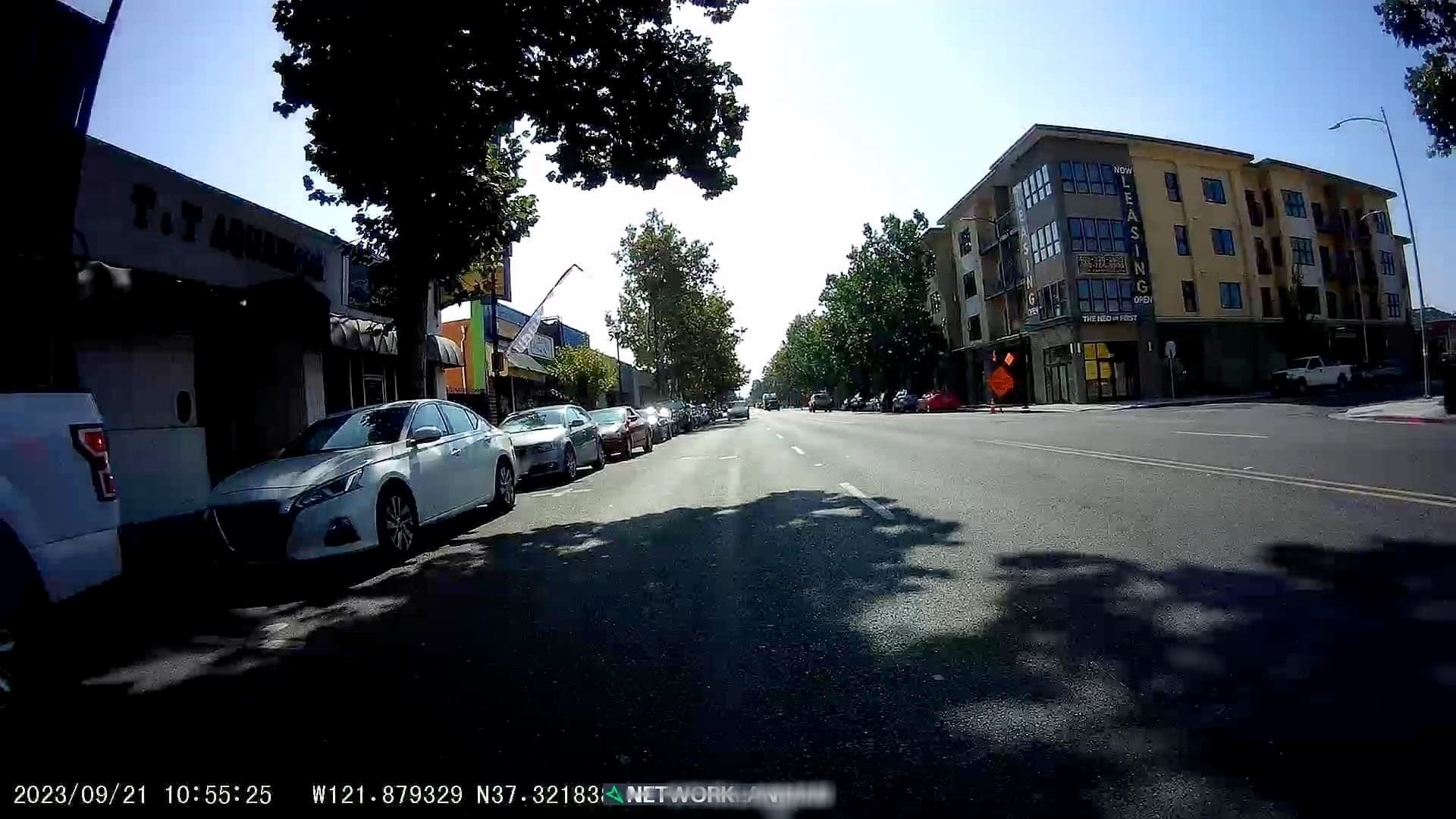
Legally speaking, pedestrians can cross all three sides of the intersection, because there’s no sign legally prohibiting pedestrians from crossing South First. However, there’s also nothing that would facilitate the crossing. Unlike Edwards, South First is an arterial road, along which there are many marked and signalized crossings – just not here. There’s no curb ramp on the other side of South First. A pedestrian crossing South First tangentially from the curb ramp at the corner would have to physically step on the double yellow centerline. A series of marked parking stalls doesn’t accommodate the tangent line either (and all the stalls are usually occupied). These factors strongly suggest that crossing here would be tantamount to jaywalking, if not in the eyes of the law then to any reasonable observer.
Context matters. Mapping three crossings at this intersection would be pedantic and counterproductive. We’d have no clear way to distinguish the theoretical crossings from the more obvious crossing across Edwards, based on the factors that I enumerated. It isn’t enough to map kerb=raised nodes on one side of South First, because there are still plenty of bona fide crossings around the city that have a mix of lowered and raised curbs.
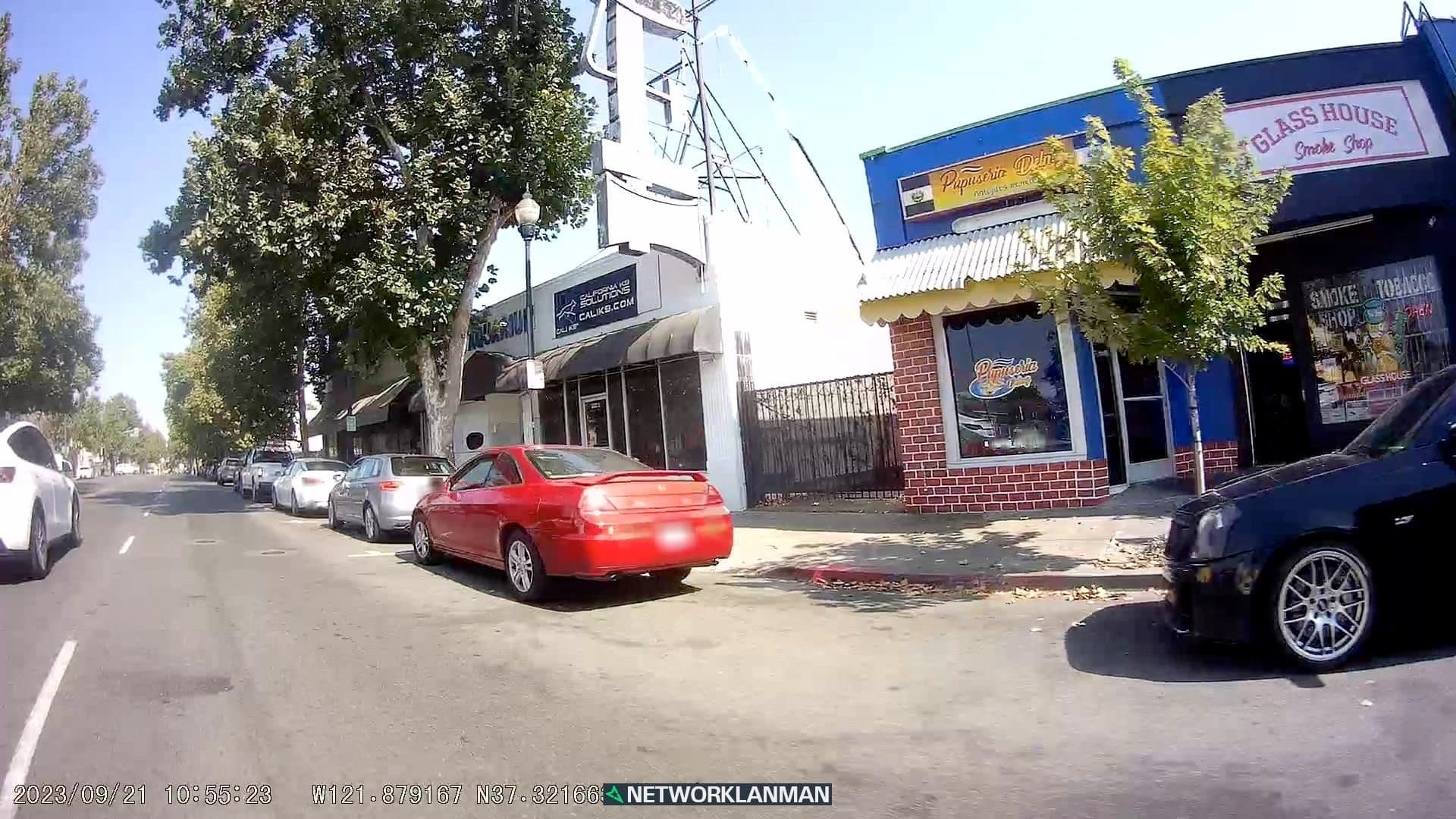
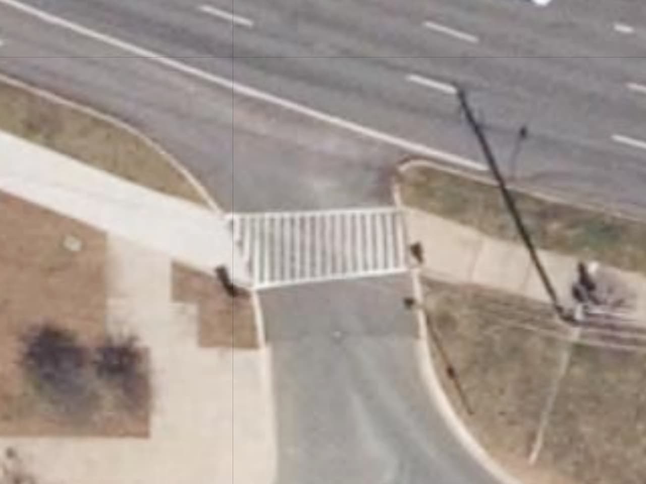
As it happens, there’s also a driveway jutting out the other side of this intersection. I never noticed it because it’s fenced off and probably unused. So technically there is an opening in the row of street parking stalls and a convenient driveway apron, which an adept pedestrian could take advantage of by crossing diagonally (if not for the illegally parked car).
In my opinion, mapping a pair of crossings across South First would go well into the realm of hypotheticals and for questionable benefit. I also wouldn’t bother to map a crossing across the driveway, where there would otherwise be a sidewalk anyways, but at least the downside to mapping it as a crossing wouldn’t be as severe.
This isn’t what I’m assuming. Rather, I’m pointing out that three distinct scenarios have come up in this thread so far: marked or signalized crosswalks, unmarked and unsignalized but otherwise discernible crossings, and purely theoretical crossings. Mapping this third category as ordinary crossings dilutes the value of mapping the other categories. Perhaps if the streets were unpaved, as some were across town not so long ago, we’d be able to map some informal crossings based on apparent desire lines, but not as things stand today.
crossings are dependent from a local law.
Here at Poland to have a marked crossing you need to have a sign on a pole, painted markings can’t be a marked crossing on their own.
If the road boundary kerb goes through a sidewalk without a crossing, then there is a possibility to say it’s actually an unmarked crossing and vehicles take a priority by going into that driveway, but it’s tricky and you cant be 100% certain about it at court.
Also, we are used that a crossing is tagged only for pedestrians or bikes, but it’s actually the vehicle street that crosses a sidewalk… we don’t even have tags for that.
We when a cyclewey crosses footway or a footway crosses cycleway, we have just one tag for that and it doesn’t specify which one is crossing the other.
Among things i have elaborated about it there on point 2.
(Obviously, some of these are not suitable. With the above, my intention is to “break the ice” and get ideas flowing; no need to refute specific ones in this list.)
well, if you think every node that shares a pathway and a driveway needs a special tag, then if really necessary, sounds valid.
But ask yourself a question, should we tag every single crossing like that or should we leave it to the map services to render it as local law defines?
If it’s a ctually a crossing, we already got tags for that.
If it’s not and its just a sidewalk where vehicles can go through, then it’s not.
What i’m more worried about here more is that we have got crossings over a street. But what about crossings with bikes?
– is it a crossing for bikes?
– or it’s a crossing for pedestrians?
We also don’t have a crossing for vehicles crossing a pathway where bikes are priority over other vehicles.
And pedestrians can be priority same way and so then obviously it’s a crossing, but not for pedestrians.
Spot-checking this dataset, it seems to be using “driveway crossing” as shorthand for anywhere a state-maintained sidewalk intersects with a service road, including some more substantial ones (Mapillary) at stop signs that I wouldn’t hesitate to map as an ordinary unmarked crossing:
From my perspective, I don’t know why there’s any need to treat these particular cases any different than we do today, by mapping them as pedestrian crossings.
I agree with you about the need to distinguish between the most mundane points of conflict and more substantial pedestrian crossings, but what isn’t so clear to me is who should be responsible for doing so: the dataset or the data consumer. And would every data consumer want to lump all intersections with service roads into the same bucket, as this dataset does, or would they want to call out driveways separately? Can they already do this today, by considering the absence of crossing tags on the node and the classification of the highway=* way? The only thing missing, as we’ve discussed, is the width of the service road at the crossing.
Anyways, as long as we’re talking about a tag on the intersection node, like the point features in this dataset, that would rule out any of those footway=* tags. Would highway=minor_crossing be a viable alternative to highway=crossing, reminiscent of the distinction between power=line and power=minor_line?
Right, the two examples you pictured are definitely covered by existing tagging.
Maybe this is a bit of a quibble, but I really want to highlight that these are not entirely insignificant features - if I started contributing to Close Call while I was out walking, I wouldn’t have much time for StreetComplete! This issue is even more relevant for those with mobility or vision limitations.
What we’re talking about here - the details of the data producer side - is furthering the ability of data consumers to offer better navigation based on useful information in the dataset.
[The “Why?”] For example, I’d love for us (TCAT) to be able to offer more detailed routing instructions in AccessMap about what one can expect at sidewalk-driveway intersections, and separate tagging of these feature would allow us to do that better than just making assumptions about what untagged nodes mean based on the tags of their parent ways would.
Good point - I definitely would prefer only one new tag, if any, be introduced vs two.
This is exactly the type of response I was hoping for. Thank you.
I look forward to seeing others’ suggestions as well!
Right, I tried to avoid making a value judgment or dismiss any of these conflict points as benign in practice. The distinction I was trying to make is that some of them are more elaborate than others, for a variety of reasons or none at all, despite every single one involving the same path classification (sidewalk) and highway classification (service road).
I’d like to ask about this map coz i’m somewhat interested how thirdparty maps make use of our OSM mapped data.
I see a big problem there, coz the people who made this map just for Portland/Seatle area were unable to use OSM data on especially the crossings, but also sidewalks itself, coz:
– sidewalks itself are not really mapped next to many secondary, tertiary steets, but are tagged instead
– crossings if mapped are just nodes on a highway and not ways as the linked map presents.
So i think the problem ya people are facing there are not not enough tagging to describe the crossings, but arbitrary/schematic mapping of sidewalks/crossing that noone can really use properly for pedestrians themselves and so they map it all from scratch instead of actually mapping OSM for everyone advantage.
I can see a reason why they could refrain from mapping OSM.
They might be told that mapping for a certain router/renderer is invalid, which myself i have heard many times before.
Their OSM mapping to make that AccessMap work might be destroyed because someone would argue that sidewalks tagged as sidewalk=left|right|both are completely fine and enough!
I do hear about those mapping ruleswhen bikes are involved, but right here in the Wild West i see maybe even stricter rules on mapping sidewalks itself? ;]
Ultimately, whatever tag we wind up with would be for the intersection nodes we aren’t already tagging as highway=crossing, such as the spots where, at least by physical appearance, driveways cross sidewalks rather than the other way around. It’s these spots that iD stopped trying to tag as highway=crossing after sustained community pushback.
An other point in this discussion, what I miss is, one feature one object, a node and a way.
From less detailed to more detailed. The question is, when adding more detail, firstly we did set the node highway=crossing, later we mapped more ways footway=crossingcrossing=* , the evolution in OSM. Is it appropriate to delete the node tagging, because it is set on the way segment?
I tagged lately only way with highway=footwayfootway=crossingcrossing-unmarked. To set the kerb tags on the right spot.
Then I saw Magic Earth setting crossing icons on this section. Thinking, is that enough?
I have this also with driveway intersecting a footway (sidewalk). Must I set something on the node or is it more desirable to set it only on the way.
For the topic at hand – driveway-sidewalk intersections – I’ve been arguing for zero features, but if a feature is mapped at all, it probably should be consistent with the double-feature representation of normal crosswalks.
Crosswalk modeling may seem like a glaring exception to the “One feature, one element” principle, but there are actually quite a few exceptions where we can optionally represent a single feature as multiple geometry types. Other examples include bridges tagged on roadways versus bridge areas versus bridge relations, highway ways versus highway areas, bus stop nodes versus stopping position vertices, and place points versus boundary relations.
In most of these cases, each geometry serves a different use case, and the simpler geometry type predates the more complex one and is kept for backwards compatibility. Maybe someday we can confidently de-tag the crossing nodes, knowing that routers and renderers can infer them when necessary. The one wrinkle is that tactile_paving=* means something different when applied to the crossing node versus the crossing way.