Hier stehen die Ergebnisse der letzten globalen Auswertung. Aus technischen Gründen (Reorganisation eine Indexes) ist der Datenstand von Gestern 17:24.
 country | missing | added
---------+---------+-------
 ARG     |       4 |    26
 AUT     |         |     2
 BRA     |       3 |     1
 CZE     |         |     5
 FRA     |         |     4
 GBR     |         |     2
 IRL     |         |    28
 ITA     |         |     3
 JPN     |         |     1
 LVA     |         |     1
 PRT     |         |     1
 RUS     |       4 |
 UKR     |         |     3
 USA     |         |     4
“Unsere” Bundesländer und die Gegend um Freiburg sind wieder da (der Mapper hat sich übrigens nett entschuldigt und kann sich nicht erklären, wie ihm das mit Josm passiert ist). Ansonsten sind die AL2 weltweit ok.
Im Elsass bei Straßburg scheint es zum 1.1.2015 eine Gebietsreform gegeben zu haben. Da “schwirren” jetzt massenhaft Doppelgänger herum und die ganze Ecke ist unstimmig. naja, nicht ganz: die sind anscheinend mit disused:boundary getaggt und die filtere ich noch nicht raus.
Gruss
walter
ps: wen es hier interessiert: die Irrläuferauswertung ist gerade gestartet, da die in der Toolchain ganz am Ende steht und normalerweise ca 5:00 Uhr morgens läuft. Timestamp ist aber auch 17:24 gestern, da der Diff-Update noch rödelt.
Hallo zusammen,
ich hoffe dass ich mit meinem Anliegen hier richtig bin!?
Beim Durchlaufen aller Administrativen-Grenzen von Österreich finde ich eine einzige Grenze auf Level-Ebene 8 nicht:
Bad Radkersburg/Radkersburg Umgebung => hier die Relation zur Stadt http://www.openstreetmap.org/node/240041310
Ist diese ggf. unter anderem Namen abgelegt, kann diese auch in der Nominatim-Struktur nicht auffinden
Ich werde meine Frage auf Englisch bestellen, falls ich etwas falsches scheibe…!
A couple of months ago I added Horsburgh Lighthouse to OSM, which is located on a tiny island called Piedra Branca, near Singapore, between Malaysia and Indonesia - see here: http://www.openstreetmap.org/#map=15/1.3102/104.3823
It looks as though the area has been subject to some kind of maritime boundary dispute between all three countries, but that particular rock definitely belongs to Singapore. I was toying with adding the maritime boundary, but I’m not sure what the protocol is, and I’m also not sure what the legalities are (Malaysia has a claim on some other small islands nearby, so the boundary may actually be correct).
I wonder if you could advise me what I should do here? Should I try to research further? What do I need to think about? Or should I just leave it as it is?
Do you know if the Joint Technical Committee has already delimited the maritime boundary between Malaysia and Singapore?
Mapping of maritime boundaries is a lot of investigation work and you need some GIS-knowledge (for calculations (Buffer, Voronoi diagram)). In this case you have to consider three different legislations (Singapore, Malaysia, Indonesia).
I’ve produced a mockup with some hypothetical boundaries based on the equidistance principle under the assumption that South Ledge belongs to Malaysia as this low-tide elevation lies within Malaysian territorial waters according to my calculations.
territorial waters Malaysia
territorial waters Singapore
territorial waters Indonesia
exclusive economic zone Singapore (only if Pedra Branca is a habitable island and not a rock)
Hier stehen die Ergebnisse der letzten globalen Auswertung. Aus technischen Gründen ist der Datenstand von 13.5. 20:21. Die morgige Auswertung sollte wieder zeitnah sein, da der Lag inzwischen abgebaut ist.
 country | missing | added
---------+---------+-------
 ARG     |       1 |
 BEL     |       1 |    14
 BGD     |         |     4
 BOL     |         |     1
 BRA     |       8 |    20
 CAN     |         |     4
 CHN     |       5 |     6
 COL     |         |     9
 CZE     |         |     1
 DEU     |       4 |     4
 ECU     |         |     2
 ERI     |       1 |
 ESP     |         |    11
 ETH     |       3 |
 FRA     |       1 |    14
 GBR     |         |   268
 HUN     |         |     2
 IND     |         |     4
 IRL     |         |   276
 ITA     |       8 |
 JPN     |       4 |
 KEN     |         |     2
 LKA     |         |     2
 MAR     |       1 |     1
 MEX     |         |     2
 NGA     |         |     1
 NOR     |       4 |     2
 NPL     |         |    58
 PER     |       2 |
 PHL     |         |    26
 POL     |       5 |    23
 RUS     |         |    60
 SDN     |       2 |     9
 SSD     |         |     3
 TON     |       1 |    10
 TUR     |       2 |    14
 UKR     |         |    90
 USA     |       7 |    12
         |         |     1
(39 Zeilen)
Bis auf Äthiopien ist alles ok. Schau ich mir gleich mal an, eventuell ist das ja schon korrigiert.
Fixed: Dort hat ein russischer (?) Kollege die “Bundesländer” von Äthiopien eingetragen und einen kleinen Flüchtigkeitsfehler gemacht.
ok, I’ve improved the boundaries between Malaysia, Singapore and Indonesia. Pedra Branca belongs to Singapore now (in OSM) according to ICJ ruling. I hope that everything worked fine.
Hier stehen die Ergebnisse der letzten globalen Auswertung. Datenstand ist heute 0:18
  country | missing | added
---------+---------+-------
 ARG     |         |    28
 AUS     |         |     1
 BEL     |         |     4
 BRA     |       1 |    10
 CAN     |         |     1
 DEU     |         |     1
 ESP     |         |     1
 ETH     |         |     2
 GBR     |         |    32
 IDN     |         |     6
 IRL     |         |    76
 JPN     |         |     9
 LTU     |         |     1
 MEX     |         |    24
 PHL     |         |     2
 RUS     |       7 |    10
 SDN     |         |     3
 SSD     |         |     1
 STP     |         |     1
 TUR     |         |    12
 UKR     |         |     3
 USA     |       2 |     4
(22 Zeilen)
Weltweit scheinen die Landesgrenzen ok zu sein.
Gruss
walter
@4rch: deine Änderungen bei Singapur sind in meiner Boundaries-Map noch nicht zu sehen, da du sie “etwas zu spät” gemacht hast und der Job schon aktiv war. Morgen sollte aber was zu erkennen sein.
Thanks for your research on this, and apologies for taking a couple of days to get back to you… It seems the issue of Pedra Branca is more complex than I’d realised!
I found this map helpful: http://upload.wikimedia.org/wikipedia/commons/d/d7/Pedra_Branca_Map.svg. Based on that, I think your sketch should be correct, except for South Ledge, although if “it belongs to the state in the territorial waters of which it is located” (again, from the Wikipedia page) then it shouldn’t logically be a concern.
The lack of full agreement with Indonesia doesn’t help, although I haven’t actually seen any evidence of an Indonesian claim on the islands, so it may not be an issue. This is probably illuminating, if you have the patience to read it: http://www.icj-cij.org/docket/files/130/14492.pdf
Hello, Low-tide elevations have an impact on the territorial sea boundaries, so I took South Ledge also into account. UNCLOS Part II Article 13:
I’ve retrieved the coordinates of South Ledge from NGA GEOnet Names Server and then I’ve compared it with some other maps. The position in OSM should be ok. I guess the location in the map you’ve mentioned is incorrect.
I’ll take a closer look at it. Maybe we should tag the affected boundary ways with disputed=yes
Malaysia/Singapore have already agreed upon the following part of the boundary: http://www.openstreetmap.org/way/333364480
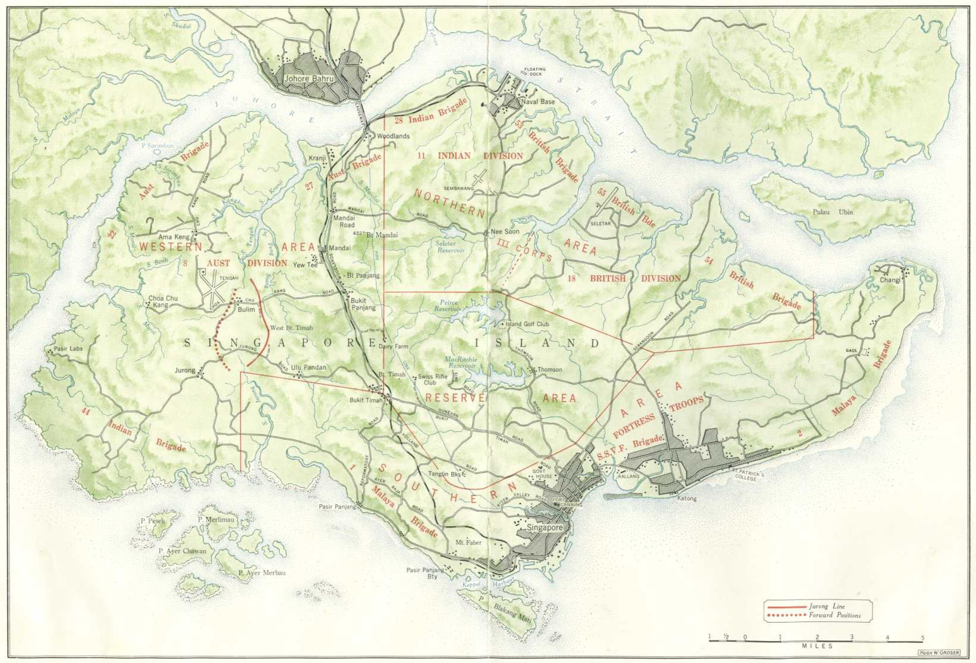
Hier mal die Lage bei Singapur, wie sie sich jetzt in OSM darstellt: (New situation at the Singapur area)
Da die alten Grenzen noch durchschimmern, kann man die Änderungen leicht erkennen.
The claimed line of Malaysia intersects the archipelagic baseline of Indonesia and covers some landarea of Singapore. It seems unclear to me how they retrieved this line. Point 17 for example is closer to Indonesia than to Malaysia. In my opinion we should use the well established equidistance principle, which is quiet fair as it doesn’t give an advantage to any state, instead of unfunded claims. (I’ve already uploaded the boundary line based on the equidistance principle yesterday)
It’s worth being a little bit careful around here, as the area has been subject to a lot of reclamation in the last few decades. According to my records, the area you’ve marked as being on Singaporean land was reclaimed some time after 1990 (probably closer to 2000). I’m guessing the equidistance principle refers to the original island boundary?
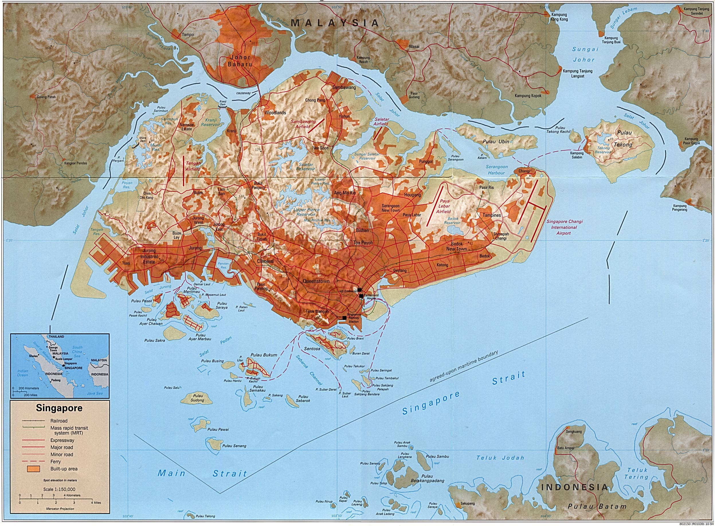
I can’t see a good historic map of Singapore online (the 1842 McCallum map is rather nice) but this gives you an idea of what it started out looking like:


