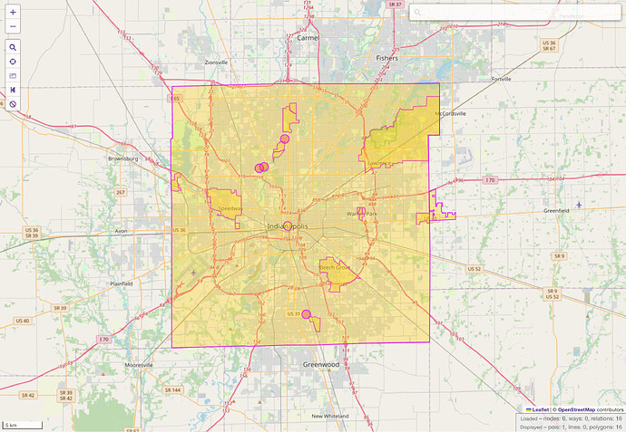
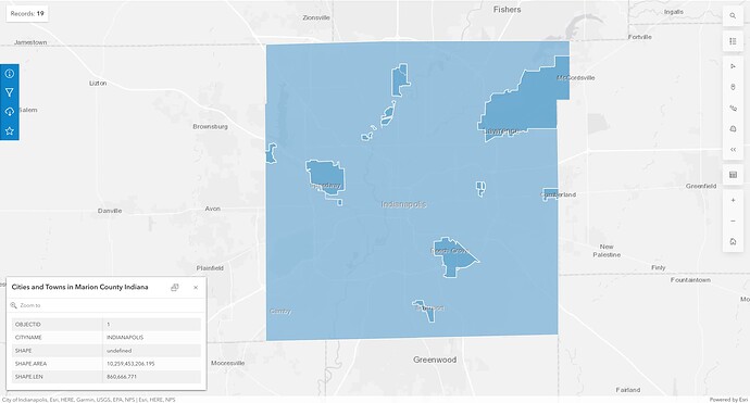
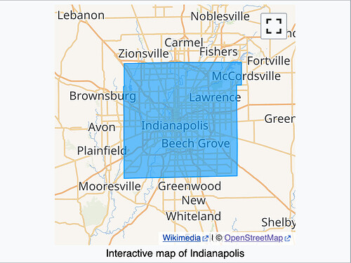
The Indianapolis boundary relation is coextensive with that of Marion County, which is inaccurate as far as I can tell. The Indianapolis relation also overlaps 15 other city and town boundaries that are also tagged as admin_level=8, causing geocoders to ignore these cities and towns and producing warnings in validators.
In the absence of a boundary dispute or surveying error, the usual rule is that two boundaries should not overlap at the same level, because that would introduce topological ambiguity. For example, is Lawrence Community Park in Lawrence, Indianapolis, Marion County? Or is it in Indianapolis, Lawrence, Marion County? Is it in either Lawrence and Indianapolis but not both, depending on the user’s hometown’s diplomatic relations with the two cities? Or do we just not know because no one has adjudicated competing claims?
None of the above: the park is indisputably located in Lawrence, Marion County, Indiana. But Nominatim ignores Lawrence, because its boundary relation is subsumed by that of Indianapolis.
A real-world problem
Indianapolis consolidated with Marion County in 1970. More precisely, the city and county governments consolidated in an arrangement called Unigov. The city grew to encompass all the unincorporated territory of the county, but the 15 other cities and towns within the county retain some degree of autonomy as included and excluded towns. An included town such as Clermont is subordinate to Indianapolis as a city, while an excluded town such as Lawrence is subordinate to Marion County, represented by the Indianapolis government. Marion County still continues to exist geographically as an administrative subdivision of Indiana. Unique among the included towns, Cumberland straddles the Marion–Hancock county line, so it’s an included city on one side but a fully autonomous city on the other side.
The Census Bureau recognizes Marion County, each of the 15 included and excluded towns (such as Lawrence), and Indianapolis as a consolidated city. Unsurprisingly, their Indianapolis includes the included towns but excludes the excluded towns. They also recognize a balance – a kind of statistical area – corresponding to the entire county outside the included and excluded towns.
Attempted fixes and more problems
In OSM, county boundaries were imported from a USGS dataset, including Marion County (as admin_level=6), while municipal boundaries were imported from TIGER. The TIGER import included the 15 included and excluded towns, originally as ways (admin_level=8). The ways were later converted to relations. No Indianapolis boundary was ever imported: due to an oversight, the TIGER import skipped the entire class of consolidated cities.
In 2020, the Marion County boundary relation was renamed to Indianapolis. The following year, Marion County reappeared as a new boundary relation coextensive with the Indianapolis boundary relation, a double entry in order to make the county findable again. Based on edit history, both the mappers who made these changes appear to have been skipping around the country fixing basic boundary issues. They may not have paid close attention to whether the boundary was correct. Instead, they assumed that Indianapolis and Marion County are coextensive.
Potential fixes and even more problems
If we follow the Census Bureau, then we’d redraw the Indianapolis boundary to continue including the included towns but exclude the excluded towns. That sounds pretty logical! We’d also need to demote the included towns to admin_level=9 or 10 to avoid overlaps. Unfortunately, this creates a problem with Cumberland. In the context of Hancock County, Cumberland should be admin_level=8, plain and simple. However, a single boundary relation can’t be one level on one end but another level on the other end. The Census Bureau has no problem representing this situation, because to them, counties and their subdivisions, incorporated places, and consolidated cities form three separate hierarchies under the state, as opposed to the one hierarchy that we jam all administrative boundaries into.
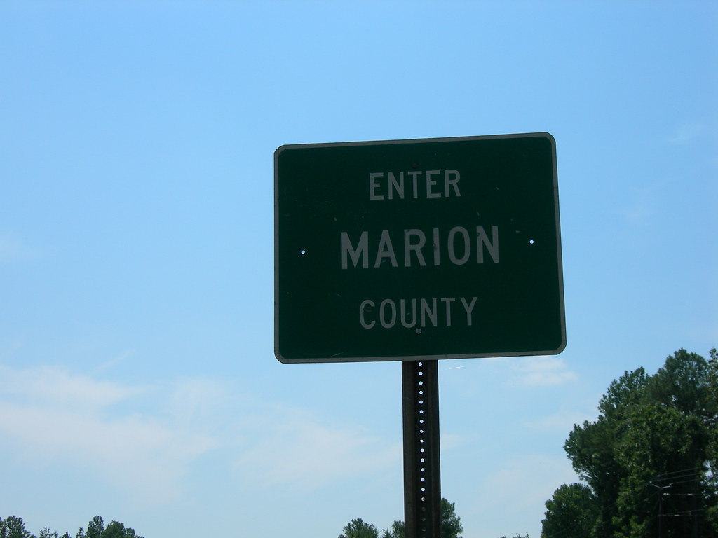
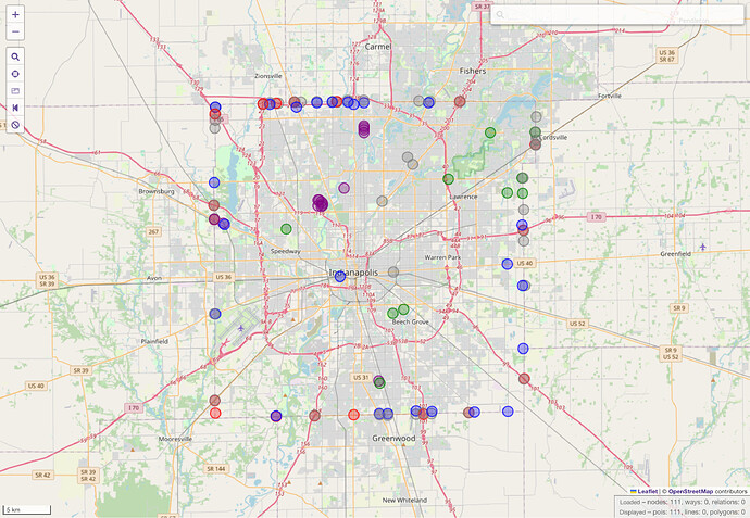
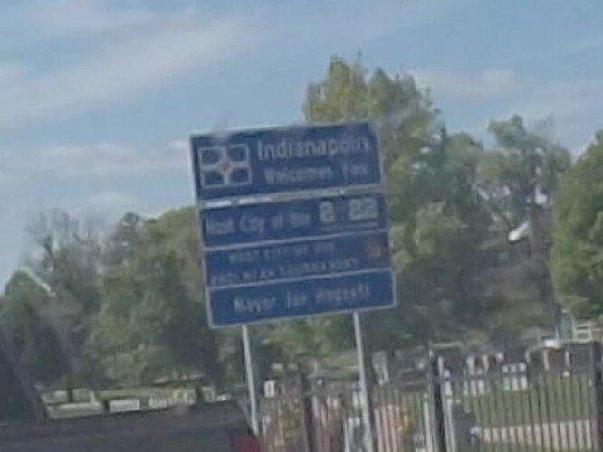
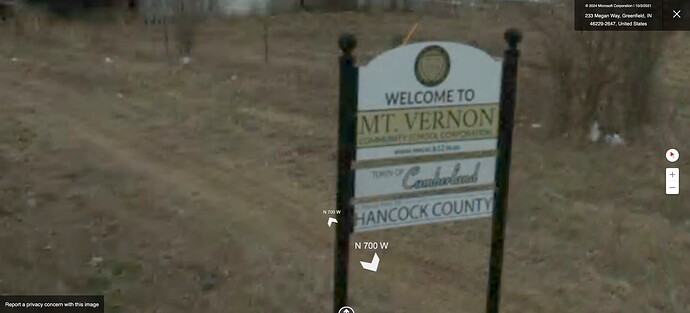
Ideally, we would follow the on-the-ground rule, but Marion County’s cities and towns post border signs rather inconsistently. As far as I can tell, INDOT only ever posts Marion County signs on roads it maintains, while Indianapolis only ever posts Indianapolis signs on streets it maintains. Indianapolis signs generally occur at the county line, but never inside an included or excluded town.
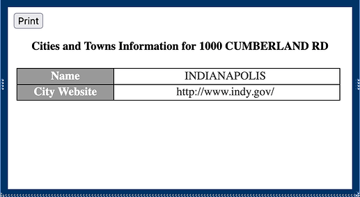
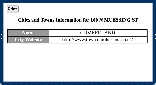
Two Indianapolis signs well within the county, at the city limits of the included towns of Clermont and Cumberland, suggest that the city-county government doesn’t consider included towns to be part of the city proper.
Also, Cumberland describes its relationship with the city as primarily pertaining to planning and zoning. To me, this suggests that, with our principle focus on geography, we should depart from the Census Bureau and exclude all 15 cities and towns from Indianapolis.
Proposed changes
I propose that we make the following changes:
- Redraw the Indianapolis boundary relation to exclude both the included towns and the excluded towns, so that it would no longer be coextensive with the Marion County boundary relation. There would no longer be any overlap between
admin_level=8boundary relations. - While we’re at it, we could undo the switcheroo, so that the original Marion County boundary relation once again represents the county, in case there are any external references to the county that happened to be getting the same geometry despite the 2020 renaming.
However, what I’ve turned up so far is rather flimsy, so I’m interested in feedback about this approach and any evidence to the contrary.
Meanwhile
Each of Indiana’s counties is completely subdivided into townships, which contain cities and towns. Townships in Indiana maintain their boundaries regardless of municipal incorporation or consolidation, so Indianapolis continues to span nine townships. The Census Bureau recognizes each of the nine townships as minor civil divisions, direct divisions of the county. However, due to an oversight, the import skipped the entire class of MCDs, so Marion County’s townships continue to be incorrectly omitted from the map. The townships should be mapped at some point. They’d be tagged as boundary=administrative admin_level=7 border_type=township, as in other Indiana counties.
Indianapolis is also divided into quadrants with extensive signposting, including on highways. However, this system for tourists is arguably more closely related to boundary=place than any kind of administrative boundary.
