I’m making a world map poster and I’m using various data sources to construct it. In the end it’s going to be a rendering of the planet using “Civilization” type hex tiles. Basically rendering the world as if it was a game. I’m going to be adding an incredible amount of detail. most relying on game iconfiy. (I’m not using graphics from any “Civ” game and using my own art, but it will be very “Civ” like).
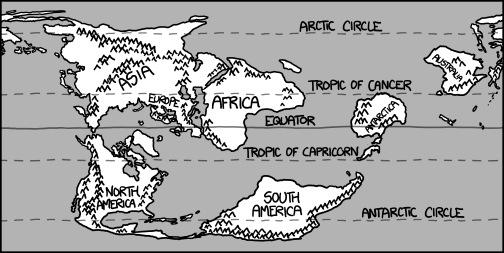
My base data set is a world map 8192x4096 pixels big using a equirectangular projection. I picked this as I can find lots of data with this projection that I can line up, the latitude and longitude lines are square, and the projection looks pleasing to me.
How the system is going to render a hex is that the data map is going to be made up of “layers” with each pixel representing some data. One layer will be the hightmap, one will be the biome, one will be country boundaries, one river, and one roads, and maybe one for train lines. Then I’ll pull from other databases cities, location, and population.
There is a particular render from OSM that I love that I want to use for rendering roads. It’s when the map is selected at “Standard” and the zoom is at 100 km.100 mi I want to just take all the red/pink/orange lines that make up the major highways.
Obviously at this scale I can’t take the SVG, which is OK as I’m looking for a raster image anyway. But the big issue is projection. I have no problem just screencapping the world and stitching to together, (And removing all the unneeded data except for the red/ping/orange pixels).
Sadly, I have discovered that turning a Mercator projection into a equirectangular one is more than just squishing the Y access. It’s because Mercator is all stretched at the poles. Gimp doesn’t have a warp function that has control over particular areas, only the matrix as a whole. My solution will be that I will have to write a program that will remove a particular number if lines near the poles and remove less and less as it approaches the equator. Unfortunately, I’m also pretty garbage at math too, and I’m sure would be easier to apply some kind of sine/cosine function, but I failed basic algebra three times in college and never did anything involving circles.
I guess the upshot is is there a program or something that can take a world map as an input and spit out a different projection as an output? I mean there has got to be as Wikipedia has all kinds of projections from what appears to be the same map. Better yet, can OSM optionally display an equirectangular projection that I can screencap and stitch?