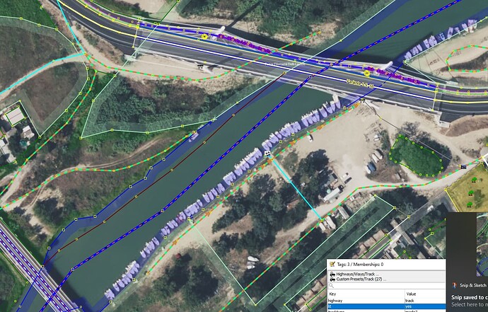
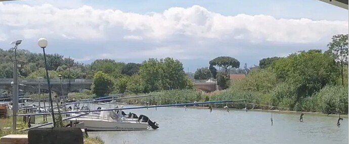
The picture tells the best story, just a section of river bank where leisure boats are moored, no pier in any form, grass bank and fixtures to connect boats to, mostly shore_ropes and cables, something discussed is this wiki but seemingly for nodes rather than riverside stretches left unmapped so far that can be found (moi), the other side of the river now also queued up with them.
Over here at our canal, I tagged the outer line of the waterway with mooring=yes. If there is no sign whatsoever, maybe mooring=informal could work, though it’s not declared as a valid tag.
It is operated by a nautical club, access socios only. There is in fact few meters from the shore a track that has light poles i.e. it is formal, with a small slipway mapped in today.
Today descended below the bridge to see the way the mooring is set up… a type seen along many a river here, a long horizontally suspended mast, ends connect with rope allowing the boats to be kept nicely perpendicular to the shore. Whether that is labelled as shore_ropes… I’m no mariner. At any rate, no moans from the land bound QA checkers for the tag combo.

