I am mapping a couple of roads with short branches that leave the main road, then return to it. These branches have the same name as the main road and are considered part of the main road. However, neither of the two cases I am considering right now were included in the existing TIGER data.
Will it cause an issue for renderers or routing engines to have multiple ways with the same name? Please see the examples below.
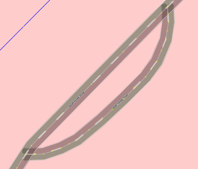
In this case, the main road is at the base of a steep hill and the branch road goes up the hill to an area flat enough to build houses. The enclosed area is a nearly vertical drop-off with no houses.
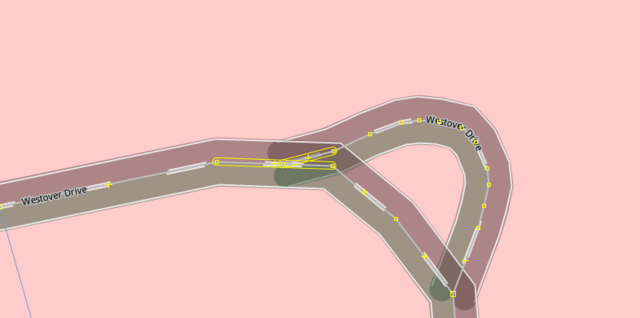
In this case, there is a central circular island in a bend in the road. Again, there are no houses in the enclosed area.
Is the current way I have these roads mapped correct?
It’s often unavoidable to use multiple ways to represent a what we would think of as a single named road. This can be because of the road’s geometry, as with your examples: Any forks, branches, t-junctions, or similar shapes require multiple ways. It can also occur due to changing attributes (e.g. a different maxspeed, surface, number of lanes …). So it’s normal to have more than one way with the same name, and as far as I can tell from your descriptions, your mapping seems correct.
By the way: From what I’m hearing, the imported TIGER data has some reputation for quality issues, so take the existing data with a grain of salt. It’s not necessarily an example of perfect mapping.