I have been working at this for hours and have tried numerous settings without any luck.
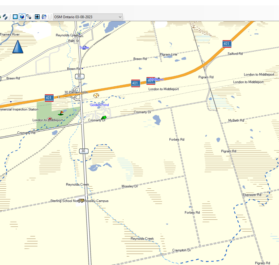
With the OpenStreetMap from OpenMapChest unpaved roads show as dotted lines. When I use the .osm.pbf download from geofabrik.de for Ontario with mkgmap the gmap it produces doesn’t show the unpaved roads as dotted lines.
I’ve gone through the documentation and wiki for mkgmap used the sample files without any success. I did find where it said highway=track and have made sure that is in there.
I’m not familiar with OpenMapChest, but their Garmin map style seems to be available here. It’s a bit different to what you used (which I guess is from the mkgmap examples?). They’re also using some external data, and have a slightly different process for creating on-device maps and maps for Basecamp.
If you want something similar to OpenMapChest’s output I’d definitely suggest following their process. If for whatever reason that doesn’t work for you then maybe try something like the following:
Download the data that you’re interested in
Before running mkgmap, use osmium to convert some things into other things (perhaps “unpaved roads into tracks”)
Run mkgmap as normal
I use that approach for some of the maps that I create here, but the lua transform file does lots more than just unpaved roads, for example it arranges the food menus so that the searches match the variety found in the UK (for Canada you might want to do something similar, including “coffee shops that are not Tim Horton’s”).
Definitely try and follow OpenMapChest’s process first though.
There are some other mkgmap style files out there which might work better for you. I think I started with one called Openfietsmap_full which I probably got here:
Where pbfname is the .pbf file that you’ve downloaded.
It is tuned for western US back roads, where there aren’t very many roads, so if you’re in an area with a lot of roads it’s going to be too busy, try turning the detail down on your device or app.
Thanks for the link to the Garmin map style, I’ll check that out. OpenMapChest provides ready made gmap files and also the gmapsupp.img file for putting directly on the micro sd card so they don’t really have a process for me to follow when it comes to doing my own maps. I see what you mean now by the link you provided.
I’ll check out your file as well. While I have some basic command line and batch file skills I’m not a programmer so unless things are step by step I find it confusing
It says your file garmin_map_etrex_03.sh is an executable. I recognize some of the commands as DOS / Linux commands and also see java in it with -jar. I’m assuming the “.sh” means shell script, (I could be wrong), how do I run it?.
I did come across their site and referenced some of the information there. Since it seemed to be more bicycle related and I ride a cruiser motorcycle I didn’t know how well what they had would work for me. I’ll download your file and see it also might help solve what I’m trying to accomplish.
Unless I am mistaken it doesn’t look like I’ll be able to make use of your backroads.zip file. I’m running Windows and unless I’m wrong your script is for Linux. I guess I could download a bootable distro of Linux, haven’t done that in years, which I don’t really want to do.
I will go through it however to see what might be in the contents that might be helpful to me.
Thank you very much for your help. Using the files from the link you provided for OpenMapChest BaseCamp and MapSource now display unpaved unpaved roads with dotted lines.
Regarding using osmium, I’m glad I didn’t have to go that route. I couldn’t find a Windows download of the program file, I could only find the source code for it. Not being a programmer I don’t have a compiler so that would have been a p.i.t.a. to go through.
In order to run it on Windows, you have a couple of options. One would be to create a Windows batch file or Powershell script that does essentially the same thing (it’s just running a series of commands one after the other and detecting whether they were successful or not - that’d be perfectly possible with other script languages). The challenge is getting Windows builds of all the software that you need. There isn’t one central package manager for Windows so you tend to have to hunt around for stuff.
An easier option would be to install “Windows subsystem for Linux” as per this diary entry, then all the software you need can be installed fairly easily. As that mentions, you’ll want “Ubuntu 22.04” as that has the latest versions of everything that that script uses. I probably ought to do another diary entry around that at some point…
I might take a look at doing your suggestion of Windows subsystem for Linux at some point. You would think being retired you have all the time in the world to do things, it doesn’t always work that way. I know I have to keep my mind active and like a bit of a challenge, yet other times I would prefer to pay someone with the knowledge to do something.
Thanks again Andy for you help on solving getting BaseCamp and MapSource to display unpaved roads with dotted lines.