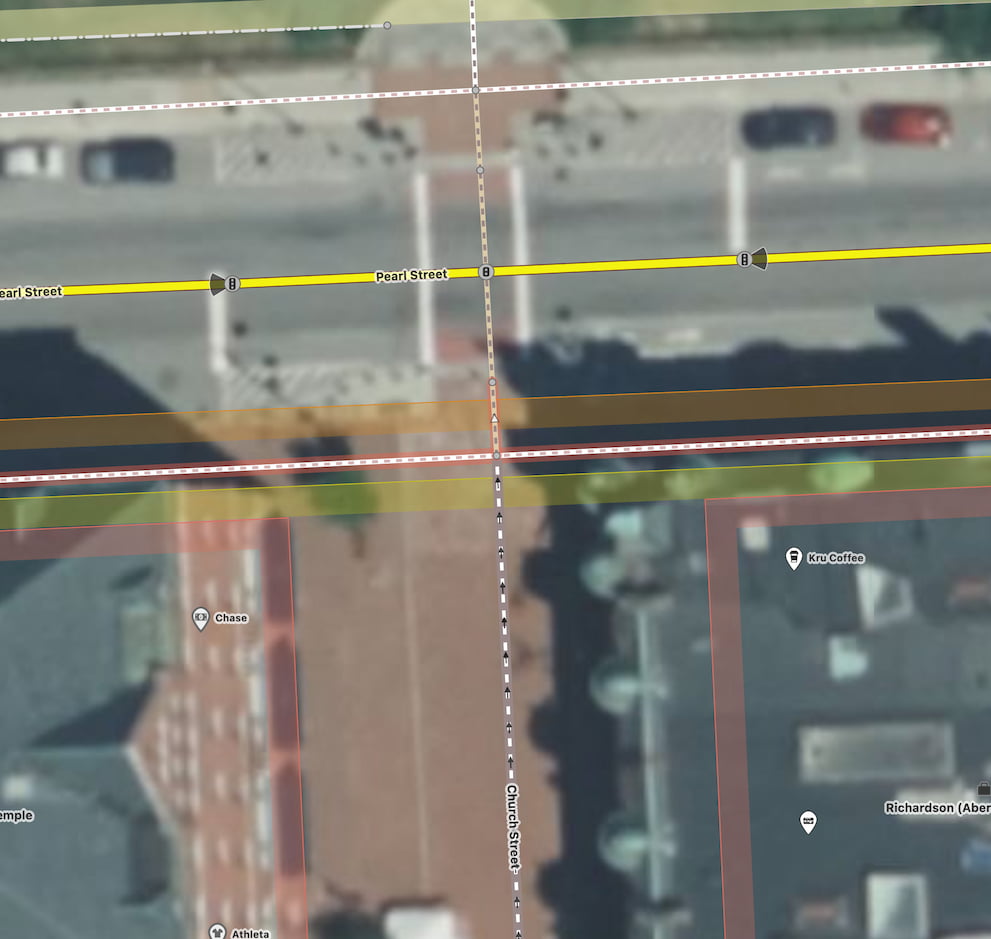
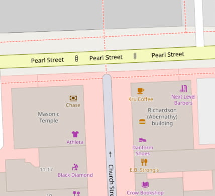
This pedestrian street (Church Street) in my area used to be mapped in OSM as a highway=pedestrian terminating at its final northern highway instersection (Pearl Street). Recently it appears someone has mapped this interesection in more detail and now the highway=pedestrian ends at the intersection with the separately mapped footway=sidewalk. The final bits before the intersection with Pearl Street are now changed to highway=footway + footway=crossing instead.
This small section certainly is a crossing, but I’m wondering if the change from highway=pedestrian to highway=footway makes sense or not. It looks like highway=pedestrian + pedestrian=crossing is not commonly used, but would that be a better way to map a crossing like this one?
imO: The pedestrian road should end at the Pearl Street and not at the footway.
Especially because Church St. is a oneway street and does not end at a street. I guess there are some exceptions for vehicle to use Church St.
Oh weird. I hadn’t noticed that oneway=yes got added as well. That’s definitely incorrect (I walk down this street every day). There are exceptions for delivery and other authorized vehicles to use the street on occasion. I think that is generally the case with highway=pedestrian.