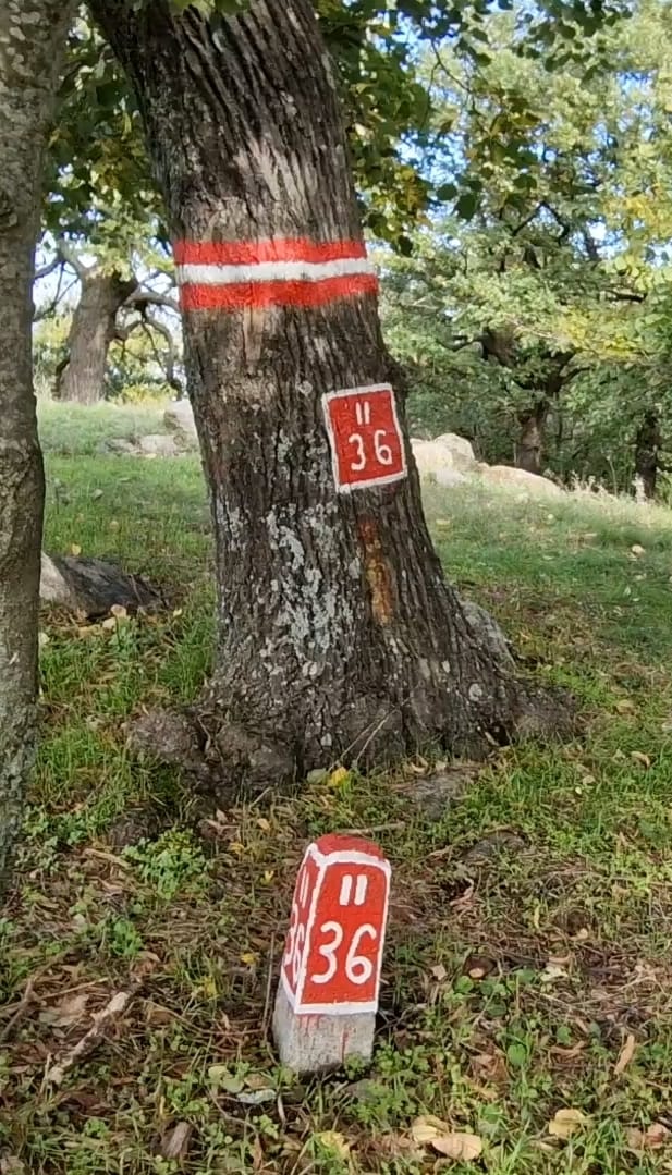
![]() These red and white marks are called “forest boundary points”
These red and white marks are called “forest boundary points”
These areas are used to mark the characteristic points of plot boundaries
(intersections of plot lines, their intersections with the forest and
of the property, on the forest boundary and at contour points
characteristic), of standardized shape and dimensions. (translated)
Can they be tagged as a survey point?