A while back we had a discussion about the issue that some cantons have changed their policy with respect to if lake areas are included in municipalities or not. This has led to some boundaries being “wrong” in that respect over the last couple of years.
Originally the plan was to fix these when we have the boundary monitoring working (see earlier discussions) however it seems as that will take a bit longer. So I’ve started fixing them with the one that was the other way around, that is the lake area was mistakenly included, Gampelen. This seems to have been “always” wrong and a mistake made in the original import.
This was naturally just a small test, but more difficult than the rest, as they are in general more or less straight so we don’t have to consider simplifying the borders.
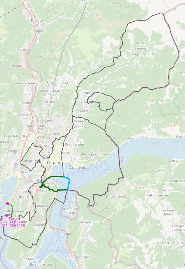
Lac Léman, the Hallwilersee, the Lago di Lugano and the Lago Maggiore are the big edits, I’ve just done the Murtensee which was rather painful due to the historic (as in before OSM) boundaries that we shouldn’t really be keeping.
I did the Lac de Neuchâtel today, this was actually much more complex than expected. All the regular municipalities and districts should be OK, the rest historic leftovers etc. needed some creativity and no guarantees for those. It could well be that there is the odd mistake or so, if you see something, point it out here.
I’ve started work on Lac Léman now, this is likely going to take a while so the pesudo municipality Le Léman (VD) will be in a bit of a weird state till it is totally gone.
AFAIK that just leaves the Bodensee, for which we don’t have a good solution.
But looking at the border there I noticed that Relation: Steinach (1683946) | OpenStreetMap which doesn’t have anything to do with the coast line there or the official border and that I’ll fix now too.
The incomplete ring was for something that doesn’t actually exist (since 2012) any more (aka being broken didn’t have any effect), I’ve fixed it even though it should just be deleted. The role warning was just a typo.