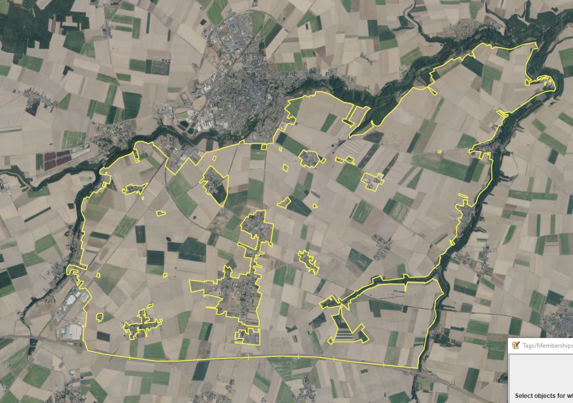
On a tangential, so happened to be getting a zipped geojson file with a farmland multipolygon showing that inner areas which are side touching with other inner areas are somehow dropped/ignored e.g. for the purpose of identifying buildings on farmland. First time loading such a file this morning, find the lines very hard to see, looked for a Map style to light them up but found none, so went about what I do when drawing long lines such as around a forest, do a select all on the geojson layer and tagged them temporarily as hedge…
The before
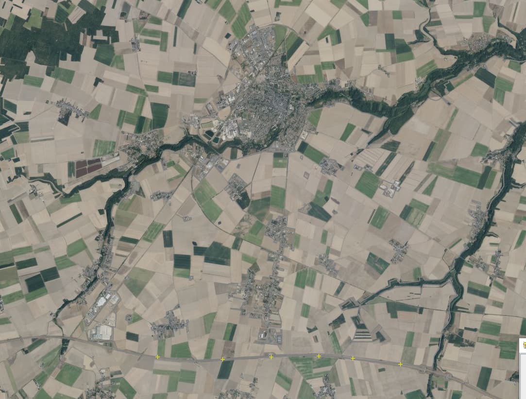
The after