Facebook link
Vietnam looks terrible on OSM, and you will be forgiven if you think there isn’t an OSM community in Vietnam. But recently the community has become more active due to an influx of members and we as a community want to do something to make Vietnam look a bit less terrible, so we launched a light-hearted collaboration for mapping two central cities in VN: Hanoi and Saigon (aka Ho Chi Minh City).
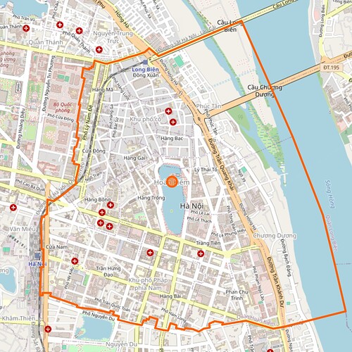
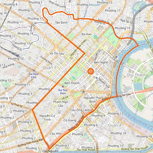
This collaboration would focus on mapping the central district in the two cities: Hoàn Kiếm district in Hanoi, District 1 in Saigon, link to OSM for convenience:
This thread will be a centralized place for collaboration with editors from other countries, and subsequent activities on OSM Vietnam Facebook group will be dedicated for Vietnamese, as we are more active on there. Feel free to post your mapping accomplishments and your personal grievances on our horrible urban planning here.
Everyone is invited to join this collaboration. OSM Phillipines will also chip in some of their effort into this collab as well 
4 Likes
Both Hanoi and Ho Chi Minh City has extensive Mapillary imagery and this will be crucial for mapping POIs and buildings. You can learn how to type Vietnamese at Vietnamese language and computers - Wikipedia (or just copy and paste the glyphs, shhh)
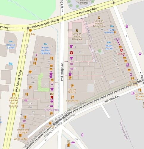
It is ok if you can’t bother to map the POIs though. You can also help map the alleyways via 360 imagery and map the buildings. you can take a look at this area in Hanoi as a example of how to map the crazy tube houses.
1 Like
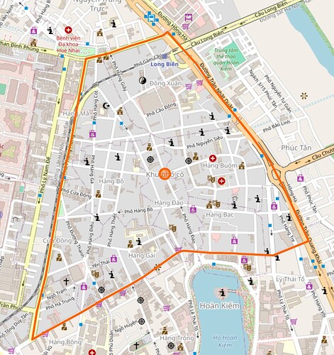
FYI, the mapping collaboration will starts in 2 days. In the first week we would likely focus on mapping the Old Quarters section as a lot of tourists visit this area and we already have extensive mapillary coverage of the area.
2 Likes
I don’t have a nice screenshot to share, but I’ve been going through Cầu Kho and Cô Giang wards of District 1, naming alleys, correcting typos in alley names, and rewriting addresses to be in Vietnamese. Street-level imagery is largely limited to the main streets, with a few strategically located photos at intersections inside neighborhoods. Mappers have been naming the alleys based on these photos; most were accurate, but I spotted and fixed some mistakes.
I also ventured outside of District 1 to replace “Dương” with “Đường” in various street names and addresses. This was a typo that one of the mapping teams (Grab?) made systematically several years ago. I took care not to replace it if it’s the family name of the street’s namesake.
2 Likes
![]()


