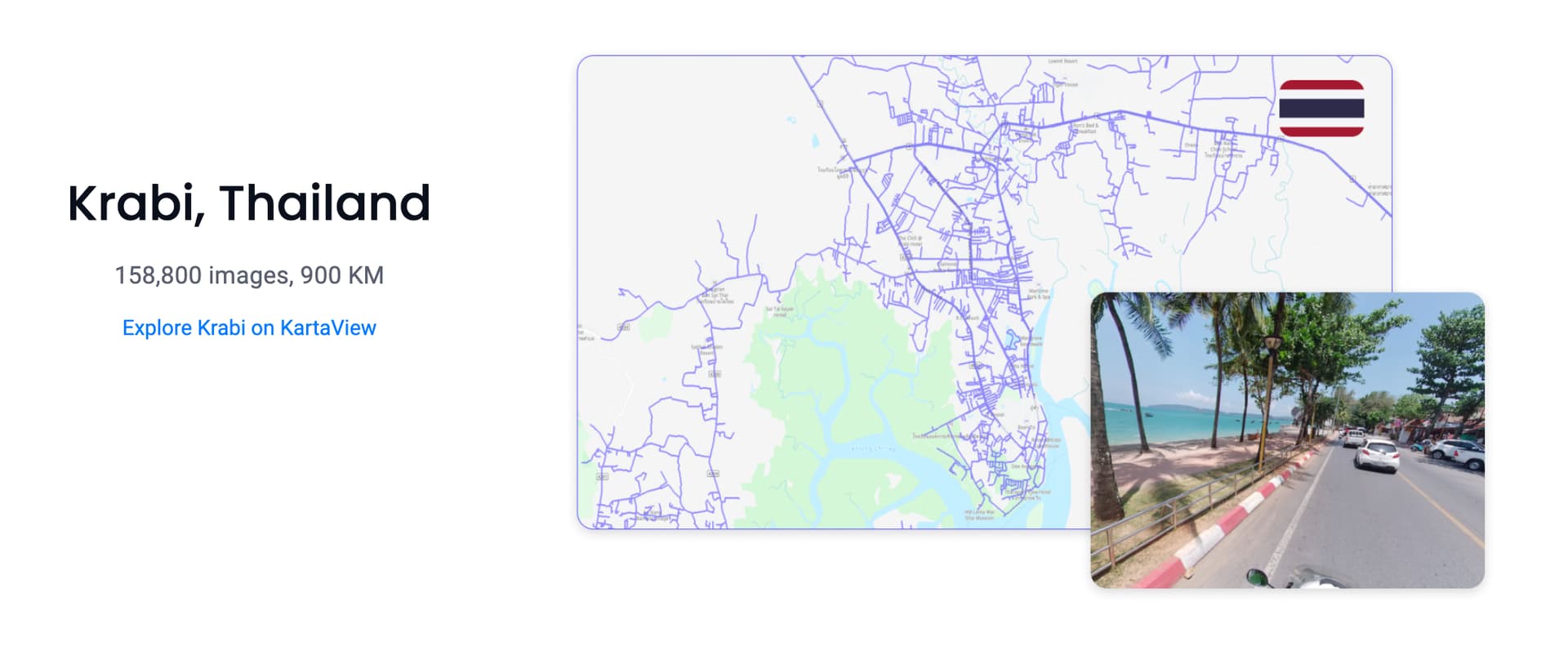
I received information from @Saikat_Maiti that Grab has initiated the public release of street-level imagery in Southeast Asia, starting with 3 cities including Krabi in Thailand. They have plans to release more cities in the future.
It’s exciting to see Grab, drawing from local contributions, now actively reinvesting back to its respective communities.
I’ve had a preview of Kartaview coverage in Chiang Mai, and it’s impressive how extensive their coverage is. I look forward to relying on this data, as the current coverage from KartaView and Mapillary is not as comprehensive and required significant efforts from individual contributors (e.g. @Johnny_Carlsen)
Anyone know it differs from what’s on kartaview itself? on the website, it requires registration etc to access the data, so I assume that the imagery is different.
@kucai I think the registration form is specifically for folks keen on getting their hands on the raw or lower-resolution imagery.
From what I gather, Grab, who acquired Kartaview in 2019, runs not only the public Kartaview data network but also a private one that’s not accessible to everyone.
It seems that the three cities highlighted on this landing page have probably made the jump from the private network to the public one. If you click through the links on the landing page, you’ll be able to see the data for yourself.
Yes, the registration process is for the raw imagery. All the published imagery is accessible via KartaView plugin in iD editor/JOSM for mapping in OpenStreetMap.
This is fantastic. I hope that we will see more imagery coverage in the future.
I sadly noticed that the famous zebra crossing in Krabi is gone. This made me interested in knowing the date of the picture. While the “recorded at” date is ok, I wonder about the time stamp.
What is this? Is it of the individual picture or start/end of the series of pictures? Or maybe UTC? The time 6:48 AM does not fit at all to the light/shadow situation visible here.