Our golf course is having issues with bikers riding through. They are telling us that the course is marked as a bike trail. The only place we could find that is on Google.Maps. When we reached out to find out how to have that changed, we were directed to Open Street Map.
One of our staff who bikes also stated this would have to be changed through Open Street Maps. We are new to this and have no idea how to get started or what we need to do.
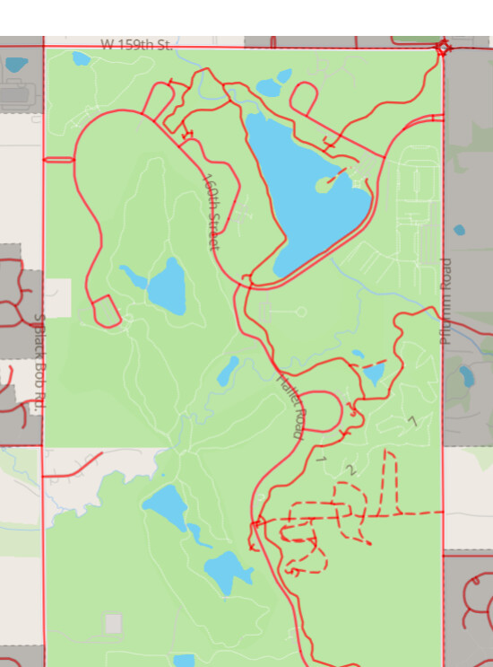
It looks like all of the cartpaths are correctly tagged with highway=path and golf=cart_path. My guess is that routing apps aren’t aware of the golf=cart_path designation and treating them as generic paths that can be used with a bicycle.
If only Google Maps shows the paths as bicycle paths, you should contact Google, not OSM.
Both the Valhalla and OSRM routers do in fact use these paths as bicycle paths, but GraphHopper does not. So it seems some routers do not interpret cart_path properly, as iandees already mentioned.
The OpenStreetMap and Strava based app wandrer.earth doesn’t see access for bicycles, but I second @chris66 at using access tagging. Komoot doesn’t use these paths for routing through.
If it’s supposed to be restricted for bicycles, that needs to be tagged with the standard access=* tagging scheme, not somehow implied by other random tags.