First off, it’s probably relevant that neither Georgia nor Tennessee subdivides land according to the same tradition as New England. There’s no requirement that every spit of land within a county lie within a subdivision of the county. Even if Nutbush were incorporated, it doesn’t border any named place, let alone any incorporated place. The presence of a sign denoting the edge of a community doesn’t necessarily mean there’s an administrative boundary in the same way that we found in Maine, because such places aren’t necessarily the primary method of subdividing the county.
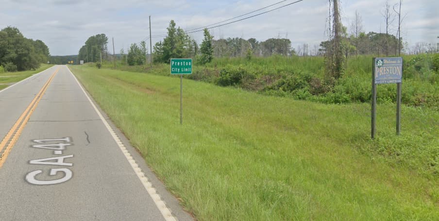
Preston is technically unincorporated because it consolidated with the county to form the Unified Government of Webster County. The county’s most recent comprehensive plan consistently refers to Preston as a “former” or “historic municipality”. From that, one could possibly make the case for boundary=historic. Or if not, boundary=place is always an option.
But let’s suppose we literally, naïvely map what we see in Google Street View, ignoring this context: this is a city limit, hence boundary=administrative border_type=city admin_level=8. The county seems to want the public to consider Preston as one of its subdivisions, because they replaced one of these “city limit” signs after the consolidation. If this is all we know about the situation, I guess mapping an administrative boundary would be appropriate. However, if we later find out that it’s really only a sign and the county and residents don’t otherwise care to keep Preston’s memory alive, then boundary=historic might be more appropriate.
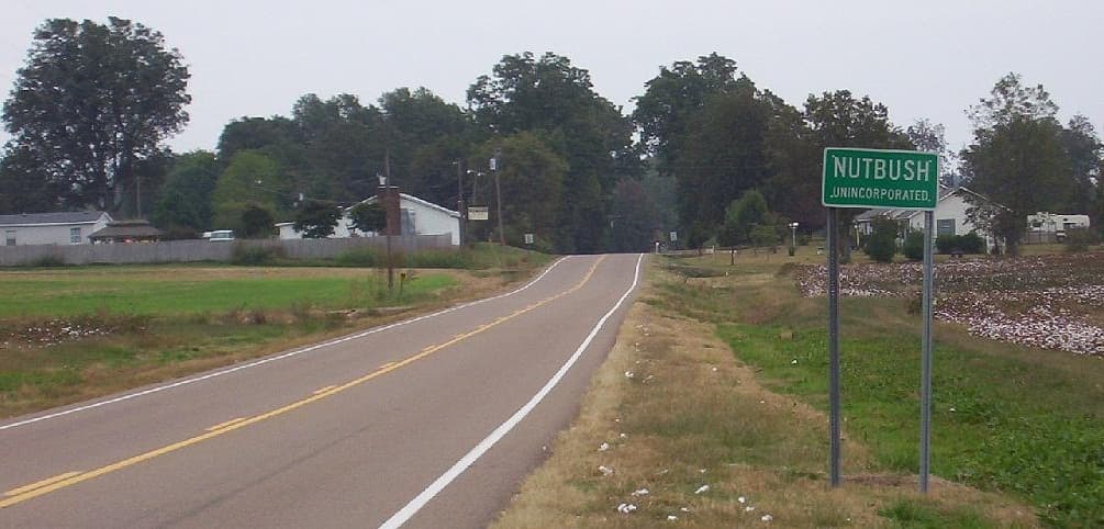
Unincorporated community signs can be found throughout Tennessee “at the beginning of the unincorporated community”. Unfortunately, there is no boundary, let alone city limits, Tina Turner notwithstanding. This is a moot point apart from a well-placed changeset comment.
Unincorporated community signs can also be found all over the country. An Ohio county is completely subdivided into townships, but Clermont County also posts unincorporated community signs at the outskirts of each unincorporated community, such as the Miami Township community of Branch Hill:
The sign definitely corresponds to where Branch Hill begins, because the community never grew beyond its original plat, but there isn’t anything administratively different about being inside or outside of Branch Hill. What’s more, no boundary description exists. One would have to look up the old plat maps and conjure up a “boundary” based on where the parcels had been subdivided – an exercise not unlike mapping landuse areas in OSM.