A team from Georgia Tech looks to be making changes to pedestrian navigation in Atlanta, Georgia. Seems like mostly positive correct changes! Good work for what seems like a good cause. But also seems like a bunch of new mappers that are also making some minor and major mistakes.
This would not be a problem, and they could be helped and fixed, but none of them are responding to DM’s or changeset comments. Their team lead “Ira Pathak” did send me one message so far, but they either didn’t read my DM message or was responding to a changeset comment with a DM because they didn’t speak to any of the concerns.
All I ask was them to follow the “Organized Editing Guidelines” and make a wiki page and hashtag so these changes can be better tracked.
I could try to make a report to DWG, but its so many users, and I think its mostly mistakes and misunderstandings rather purposely not following wiki guidelines. They give an email to contact, but IMO I should not have to use my personal email to talk with these people, they should be using the tools the rest of OSM users use.
The main issues I’ve seen:
They are removing “skyway” bridges in Atlanta because they say they “those structures typically connect private properties and are not accessible to the general public”. To me, this does not seem like a valid reason to remove them from OSM, should just have had their access tag updated. (167381586, 167297384)
They have been removing random service roads that lead into parking lots every once in a while that cross sidewalks.
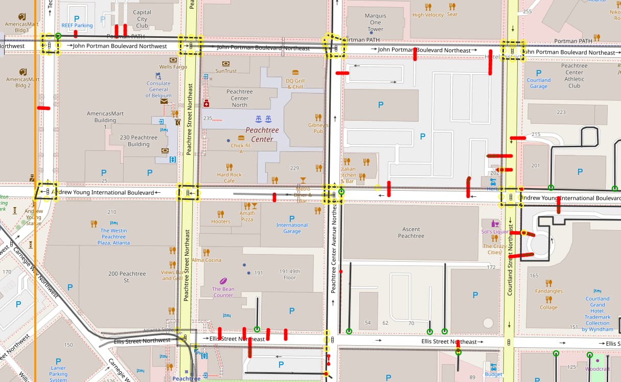
They have been dragging nodes way out of place, including major highways. (167541955)
Here are list of changesets with issues I found:
changeset/167297384
changeset/167381586
changeset/167469107
changeset/167463562
changeset/167466326
changeset/167497917
changeset/167508463
changeset/167541955
changeset/166679920
changeset/166847337
changeset/167319381 (comment from another user)
Users I found that seem part of these efforts:
user/Ira%20Pathak (team lead)
user/PRaoGT
user/ITranGT
user/MKimGT
user/DLeeGT
user/CWilliamsGT
user/JennMa
Let me know what you think a good course would be with this. I don’t think anyone wants to spend time following them and fixing their big and small mistakes.
well, if they ignore contact attempts you may either report them to DWG (they will probably start from 0-hour blocks that cannot be ignored, must be read) or you can repair all data that will be broken in future or live with data breakage.
in fact I send a quick email to DWG
note that in one of recent bungled government-organized mas editing DWG blocked hundreds (thousands?) of accounts
Thanks for looking into this, I’ll watch out for changes in their problem changesets, but might fix the bigger mistakes in the meantime. I guess next time this should have just been an email and I could have skipped the meeting.
If it helps any, I have identified more users of this project. Some have “PIDA” Pedestrian Infrastructure Downtown Atlanta, in their changeset comments.
Really, the most damaging thing a lot of them seem to be doing is disconnecting service roads from main roads. So If a service road leads into a business or parking lot, and it crosses a sidewalk, they will remove it. They have done this in so many locations across so many accounts and changesets, It’s hard to quantify or fix the damage.
Thanks all for looking into this, and @MassCartog for highlighting this thread to me. I’d reached out to the same users earlier, also without response:
I’m a research assistant at Georgia Tech leading the pedestrian navigation project in downtown Atlanta. I was notified of this community post and wanted to directly respond to clarify the some of the errors on our end.
To give some background: our team had been contributing edits, conducting fieldwork, and performing machine vision processes in our downtown Atlanta study area supported by the Center for Healthy and Efficient Mobility. This effort is based on our other research project in the Atlanta area - Safe Streets in a Connected Transportation Network (ITS4US: GDOT). These edits are aimed to improve routing for ADA users through customized impedance-based calculations. More about the ITS4US project is available here Georgia Department of Transportation | ITS Joint Program Office.
After the graduation of the researchers leading the ITS4US OSM editing work, we continued using archived materials and workflows, not realizing that formal, organized community guidelines should have been followed. We fully acknowledge this oversight and deeply appreciate the importance of adhering to community standards and collaborative mapping practices.
At present, the best resources we can share regarding our methods are the presentations from the 2024 OpenStreetMap US SOTM conference:
We’re currently developing a team wiki page outlining our proposed mapping standards and processes, which we will share with the community when complete and to address our edits that are brought up here. In the meantime, we’ve paused all team edits and will proceed with engaging more in community discussions moving forward.
Please let us know if there’s anything else we can do right now to help support and align with OSM community guidelines as we continue this research effort. Thank you for your patience and guidance as we work to improve our practices.
I can be reached here or through:
osm user: dhunsakerGT
e: dhunsaker3@gatech.edu