In regions with limited mapping coverage, it is essential to differentiate between road/path segments that have been verified using GPS traces and those solely traced from imagery, which may not accurately represent the true situation.
To address this issue, I have taken the following steps:
-
Manually added the value
GPSto thesourcetag. -
Enabled support for this approach in OsmAnd dataset generation, as detailed in the rendering_types.xml file.
-
Implemented a custom OsmAnd renderer.
By doing so, I can easily review and differentiate between “confirmed” and “unconfirmed” segments. This enables me to plan surveys more effectively and prioritize areas that require verification or potential corrections.
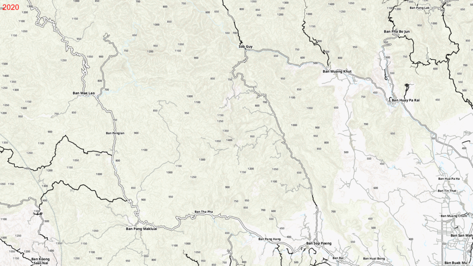
This approach has proven to be extremely valuable, as it has enabled me to discover and share hundreds of kilometers of new trails over the past few years:
I’m curious to learn if others have explored similar approaches or have valuable insights to share on this topic.
Please note: While it is recommended to specify the source in the changeset metadata rather than using the source tag directly, in this case, the metadata is not accessible. Therefore, additional tags are necessary to address this limitation.