I’m pretty new to OSM (other than using the app and I’ve looked into Leaflet 2D maps) and I’m struggling to find an answer to my question. Hopefully it won’t be a commonly asked/answered one that I’ve missed.
What I’m looking for:
Web technology/WebGL
3D map with 3D terrain. Added bonus for 3D buildings, trees, etc.
On this map I’d like to be able to draw 3D paths/GPS tracks with height data.
I want to be able to “fly around” and look at the paths that are drawn.
I’d like it if the resources and technology used are all open source.
Currently there is no provider for a pure 3d representation which you only need to render: https://wiki.openstreetmap.org/wiki/3D_Development
To bypass all the experiences you need to interpretate the tagging schema in a proper way, you might want to use osm2world to create a 3d representation and build up a tiling mechanism on top.
There is also the 3dcitydb folks, which make use of caesium.js for 3d client rendering and serve citygml files / tiles. But currently we don’t have a converter osm->citygml.
Your best bet is probably Cesium, which is pretty much the closest 3D equivalent to Leaflet. Can do everything that was mentioned, except it doesn’t ship with 3D models for buildings and such. (Although it could display them if you had a service that provides such models in their “3D tiles” format.)
Another possibility: Since I’m mostly interested in a local area (a few square km max) I’ve considered looking into three.js. Then I guess I could render only the area I’m interested in. But it’s not really clear to me where I should get the data from in this case. Could I get tiles from OSM, but I’d have to get terrain data from something like SRTM?
Sorry if these questions are stupid ones, but the whole mapping toolset/environment with it’s possibilities is a bit overwhelming for me at the moment.
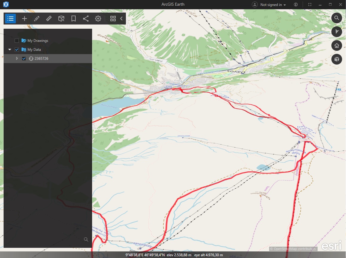
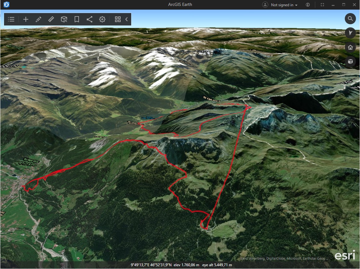
I guess this is not entirely what you want, but ESRI’s free “ArcGIS Earth” application (https://www.esri.com/en-us/arcgis/products/arcgis-earth/overview) can easily ingest 3D KML and drape OpenStreetMap over a global terrain dataset, see the screenshots. If you convert your GPX tracks to KML (e.g. I tested this service which worked fine: https://gpx2kml.com/), then you are all set and done without programming.
Only caveat is that you will need to register yourself at the ESRI website. Other than that though, it is a nice app.
By the way, there is also an equivalent mobile phone version, that circumvents the need to register at the ESRI site. Just type “ArcGIS Earth” in Google Play store (there is an iOS version as well). The navigation gestures are explained here:
Visualizing a glider in a 3D geo world looks like a high level task for starting with a 3D engine. Why not considering a more dedicated approach as NASA worldwind? https://worldwind.arc.nasa.gov/