You might (or not) be familiar with freemap.sk - an OSM-based map of a part of Europe, hosted by a Slovakia-based OSM chapter. The map covers also Slovenia and now we would like to upgrade the level of map detail for your country using the LIDAR data I learned are available.[1]
In this context, it would help us a lot if we had the LIDAR data in DEM, or .ASC formats.
If you have, or know somebody else who has such data, please let me know.
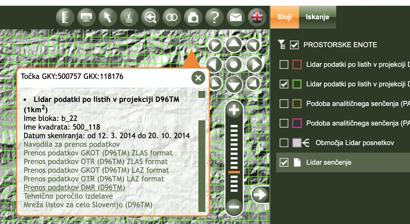
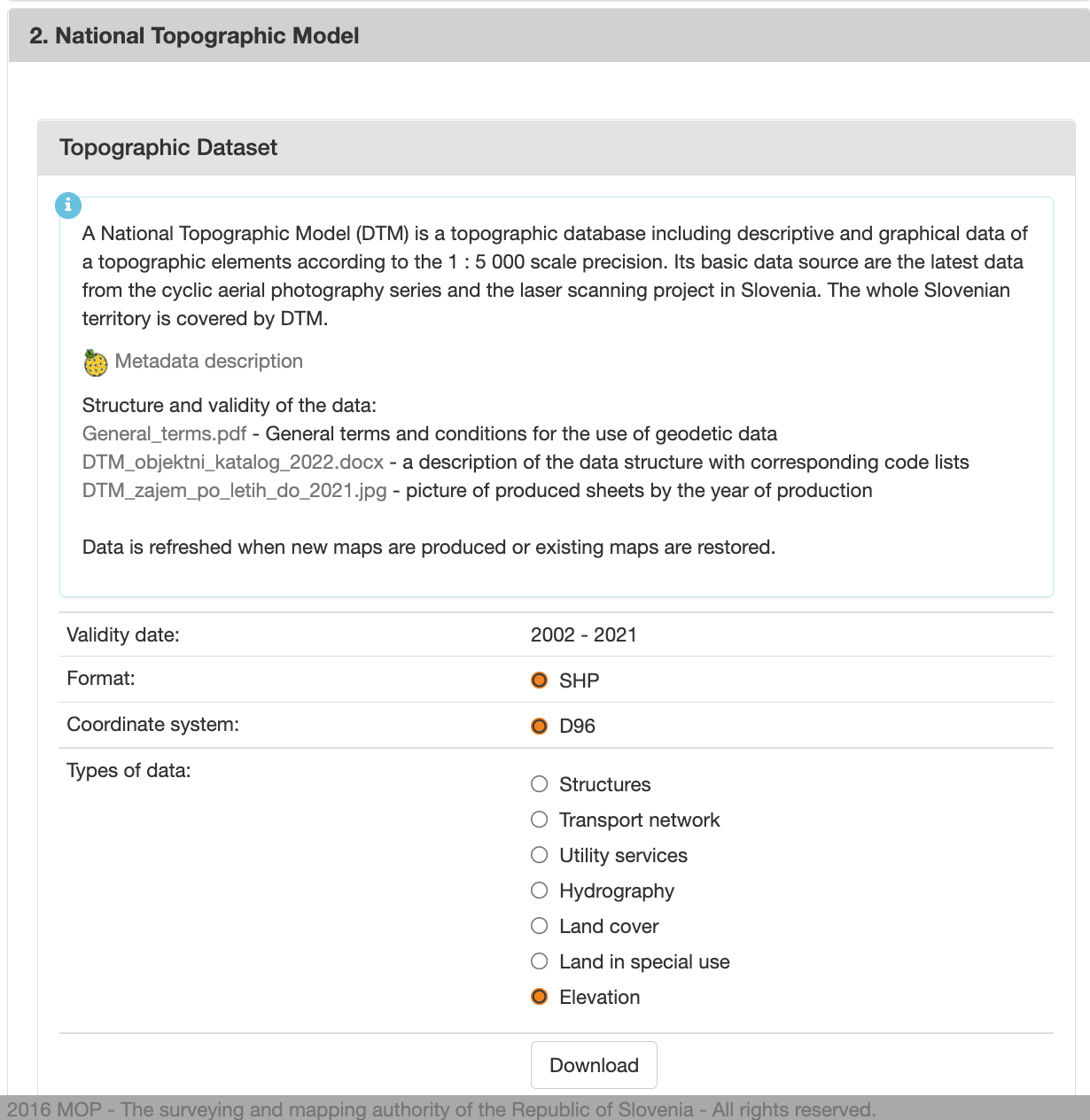
This should be easier to download (registration required, but data is CC-BY 4.0) in one piece, but am not sure if it is usable for you. It offers some documentation, but only in Slovenian:
There are instructions for download http://www.evode.gov.si/index.php?id=87
but only in slovenian. Google translate may help a bit.
They can also issue the data on a portable media.
Martin (the freemap.sk programmer) says that the artifacts is a problem he is aware of, but is unable to fix at the moment.
As for the LIDAR data credit, we thought it was public domain, but if somebody finds out otherwise, we will add the required text to the map. The best way to let us know is to use the issue tracker at https://github.com/FreemapSlovakia/freemap-mapnik/issues
Not sure what is the exact licensee for the LIDAR data, couldn’t find any definite answer. Other public institutions generally release such data under CC-BY 4.0 or similar. Will try to look into that.
Martin fixed the artifacts appearing along the coastline, but supposedly there could be some more inland, in marshes, or other water bodies. There is an issue for this, in the freemap issue tracker https://github.com/FreemapSlovakia/freemap-mapnik/issues/239
First of, I’m sorry for reviving a year old topic. Has anyone been able to bring this highly detailed LiDAR data to Locus maps app? Either as a raster map or as elevation data (hgt). I am exploring a lot of unmapped forests in my local area and seeing the same data that I can get in JOSM as LiDAR layer would be very valuable.