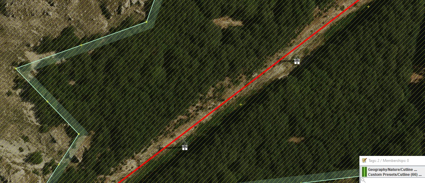
Many a time seen while landcover detailing at ski resort areas, arrow straight lines cut thru wood/forest/scrub for the purpose of draglift, skilifts, gondola etc. Grass covered mostly and kept open for service/maintenance and emergencies. Since these are transport modes area mapped with aerialway= *, would propose to bundle these cutlines as simply man_made=cutline + cutline=aerialway.
cutline=* is just a qualifier of why a cutline was man made, exists. No matter, they all render the same, a green line thru whatever the landcover was specified to be, example here one cut for a powerline
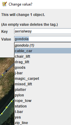
Edit: The fun part, just checking in TagInfo and discovering me was not the first in need of that aerialway value for cutline made for the purpose of skilifts and alike. Northern Italy and Austria have a dozen entries. Will add to wiki so we know it’s an option rather than painstakingly cutting up forests/scrub creating more multipolygons. cutline=piste also exists, a combo with a width estimate probably something to consider.