Custom Map Style for JOSM for disc_golf_course

Hi,

i’m trying to create a custom style for JOSM to make it easier to tag a leisure=disc_golf_course.
Currently its looking like that:

and its fine like that but there is some stuff i would like to improve:

  • a border along the way of the disc_golf=hole
  • a border around some features (like disc_golf=mando or disc_golf=drop_zone)

Now i looked at the following

Espacially with the last one in mind i added now the following:

way[disc_golf=hole]{
	text: "ref";
	font-size: 20;
	/*text-offset: 9; */
	width: 30;
	opacity: 0.4;
	/*casing-color: #808080;*/
	z-index: 110;
	left-casing-color:black;
	left-casing-width:2;
	left-casing-dashes:0;
	left-casing-opacity:0;
	right-casing-color:black;
	right-casing-width:2;
	right-casing-opacity:0;
	right-casing-dashes:0;
}

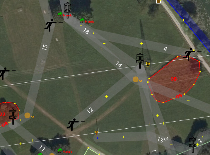
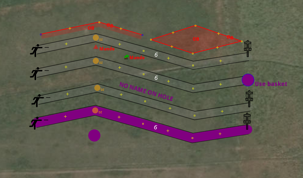
But it doesn’t to anything. The current version as shown above with the light grey broad way is okay - but not what i wanted. I feel like i am missing something here.

Its quite similar to whats visible on Planet DiscGolf on that matter, i just included more features as of now. The current code is on disc_golf_course - Pastebin.com for some time, but i will look into how to publish on https://josm.openstreetmap.de/wiki/Styles there as well.
The style / code is available at Styles/DiscGolfCourse – JOSM

Hope someone can help :slight_smile:

Can you link to where on the map there is a well mapped disc golf course?

1 Like

if this is what you wanted, the problem was left-casing-opacity:0; you have a border but its invisbile.

1 Like

Oh, i completely missed that line. Thanks.

Is it able to draw a symbol around an existing symbol like an tree? Like a red circle? I have a rando and want to keep the tree-symbol
image

Courses i mapped or did something:

I think these are mapped quite properly.

Thanks for your help! :slight_smile:

I think, as far as my knowledge goes, you can’t really put styles together with the icons, but you can create custom icons for each type of situation.

1 Like

Relation: ‪Skatås DBG - 18 holes‬ (‪913917‬) | OpenStreetMap is linked on the OSM Wiki
Relation: ‪Disc Golf Gurten‬ (‪10224469‬) | OpenStreetMap is a course I took a stab at a while ago. This one is probably not well mapped :slight_smile:

And i think its not a good example as the holes should not have an individual name. I think the name was just put there for the renderer, nothing else. I will edit Tag:leisure=disc_golf_course - OpenStreetMap Wiki with other examples.
I think your example is not bad at all, to be honest. But you should add leisure=disc_golf_course to the relation so it shows up in Planet DiscGolf as well properly.

Whats still up to discuss is if the tee and the basket should be included to the relation.

And i think its not a good example as the holes should not have an individual name. I think the name was just put there for the renderer, nothing else. I will edit Tag:leisure=disc_golf_course - OpenStreetMap Wiki with other examples.

The holes in Relation: ‪Skatås DBG - 18 holes‬ (‪913917‬) | OpenStreetMap are tagged with golf=hole, disc_golf=hole , and a name, while https://wiki.openstreetmap.org/wiki/Tag:leisure%3Ddisc_golf_course does not suggest to add golf=hole.

I think your example is not bad at all, to be honest. But you should add leisure=disc_golf_course to the relation so it shows up in Planet DiscGolf as well properly.

Relation: ‪Disc Golf Gurten‬ (‪10224469‬) | OpenStreetMap is tagged as such since some years, and shows up on the Planet DiscGolf site :slight_smile:

1 Like

Your style gave me an idea for something else. Road width visualiser :slight_smile:

Paints the road way the same width as it should be on the aerial photos per zoom.

Clearly not 5:
image

3 Likes

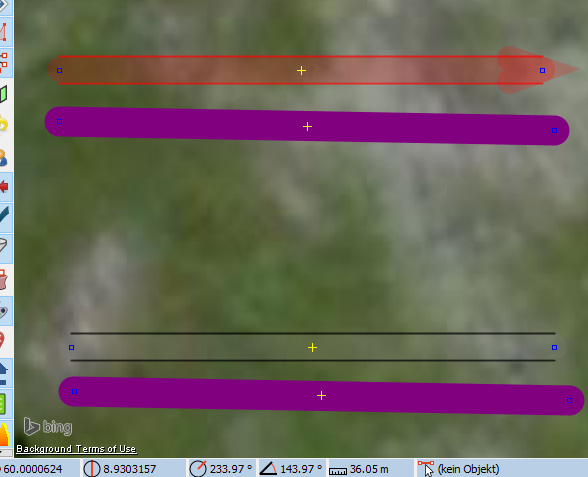
Seems like i should include wrong tags in my preset. The common pitfalls like name=* and golf=* on the hole itself. Although in your example it seems every really has its own name, in that case a “bold purple” marking of the way would come across annoying i guess? But including the golf ones might be good.

Disclaimer: I overhauled Tag:leisure=disc_golf_course - OpenStreetMap Wiki last week pretty massively and today translated it to DE:Tag:leisure=disc_golf_course - OpenStreetMap Wiki as well.

@Wulfmorn
nice Idea.

So, i added a user setting for the check on golf=* and expanded the description on the style-site Styles/DiscGolfCourse – JOSM

Currently it looks like this

I hope the “no name on hole” is in a way like if you do it on purpose its fine and if not you get reminded. But, i could add a usersettings for that as well, now that i know how to do that :smiley:

1 Like

Can I ask you to check something with your style. When the viewport of JOSM is north of 60.0000, does the way style become double thickness?

South of:
image

North of:
image

(the top of this building Way History: 484871019 | OpenStreetMap is at 59.999213, 10.622629)

I’m asking here because I based on thing on your style so they should exhibit the same issue, which looks like a JOSM bug.

No, looks fine

image

Top is above 60, bottom is below.

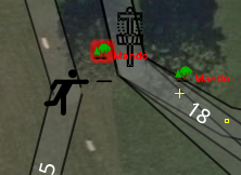
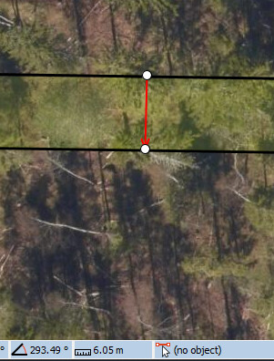
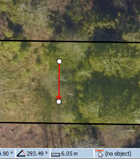
Note that the only look different if you move the viewport of JOSM (so, pan up, pan down).
Either way, very strange bug.

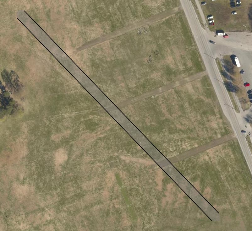
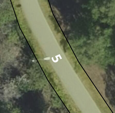
Here is my style though: https://osm.wzh.be/josm/highway-width.mapcss
It will work best around southern Norway. As mercator drifts towards the equator it becomes more and more incorrect.