How would I add the latest City of Cape Town ortho image to iD editor?
→ GeoServices / Aerial Imagery_Aerial Imagery 2021Mar (MapServer) (capetown.gov.za)
How would I add the latest City of Cape Town ortho image to iD editor?
→ GeoServices / Aerial Imagery_Aerial Imagery 2021Mar (MapServer) (capetown.gov.za)
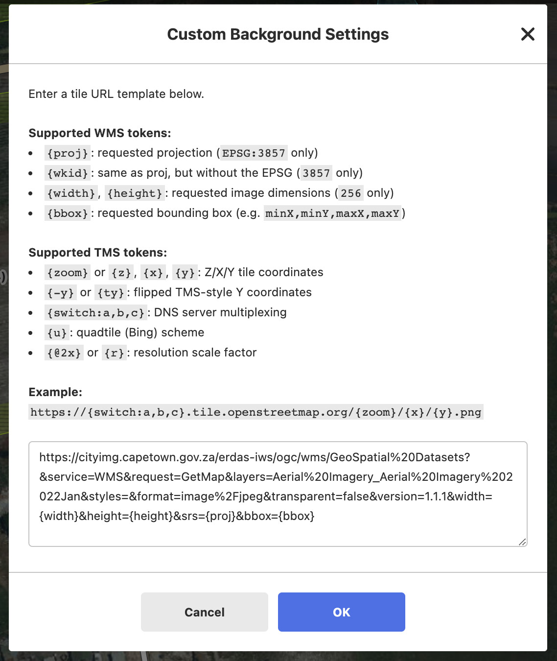
For iD editor: add a custom background and use this URL:
https://cityimg.capetown.gov.za/erdas-iws/ogc/wms/GeoSpatial%20Datasets?&service=WMS&request=GetMap&layers=Aerial%20Imagery_Aerial%20Imagery%202022Jan&styles=&format=image%2Fjpeg&transparent=false&version=1.1.1&width={width}&height={height}&srs={proj}&bbox={bbox}
In JOSM use WMS and use this URL:
https://cityimg.capetown.gov.za/erdas-iws/ogc/wms/GeoSpatial%20Datasets?
Make sure to choose image/jpeg in JOSM to get full speed.
NOTE! The above URLs have IP address restrictions and may not work from all IPs. eg: Lithuania is blocked.
I am currently setting up a caching proxy for imagery…
I will then update the default South African imagery in GitHub - osmlab/editor-layer-index: A unified layer index for OSM editors. once done
PS: I have created a site which displays all the different City of Cape Town aerial imagery: OpenStreetMap - City of Cape Town Historic Aerial Imagery
Are we allowed to use it? The website doesn’t show a free license and I couldn’t find anything about it at Contributors - OpenStreetMap Wiki
Yes we may use imagery from the City of Cape Town OpenData portal: editor-layer-index/South_Africa_CapeTown_2017_2018_Aerial_Imagery.pdf at gh-pages · osmlab/editor-layer-index · GitHub
We also need to attribute the use of the imagery (not the derived new work) to the City of Cape Town.