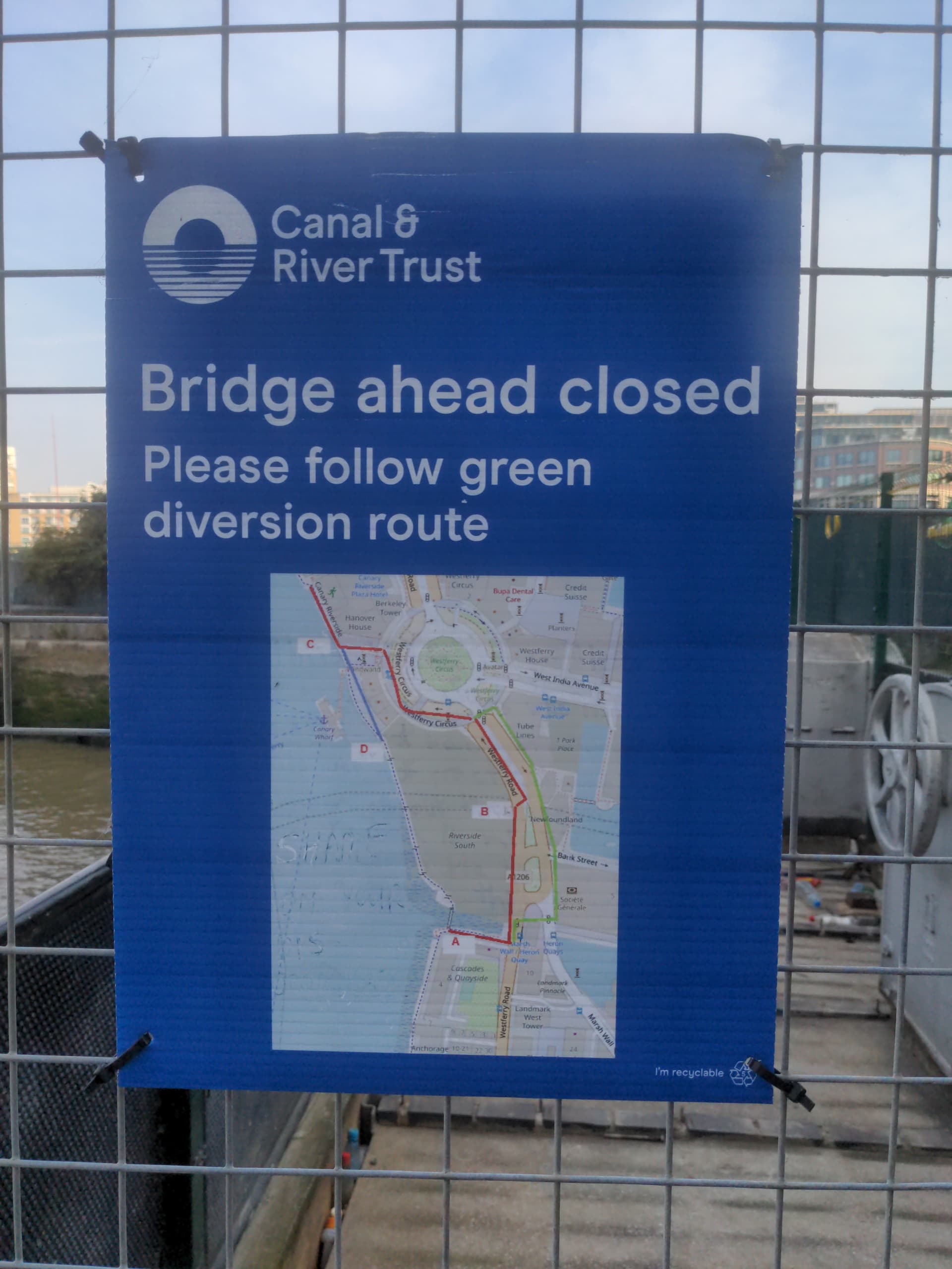
Whilst out on a run, I noticed that the Canal & River Trust uses OpenStreetMap for their route closure signs, however there was no attribution
2 Likes
Please write them a kind note, letting them know, that we are happy that they use OSM for their maps and that they should be so kind to add proper attribution (OpenStreetMap). Thank you.
EDIT: For signs already printed and out in the field an additional sticker or label with copyright information should be sufficient. No need to throw them away. ![]()
2 Likes