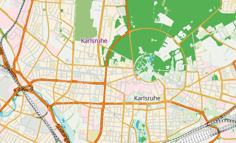
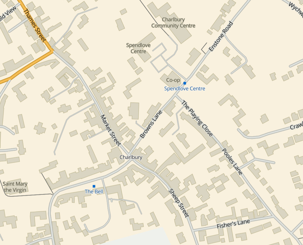
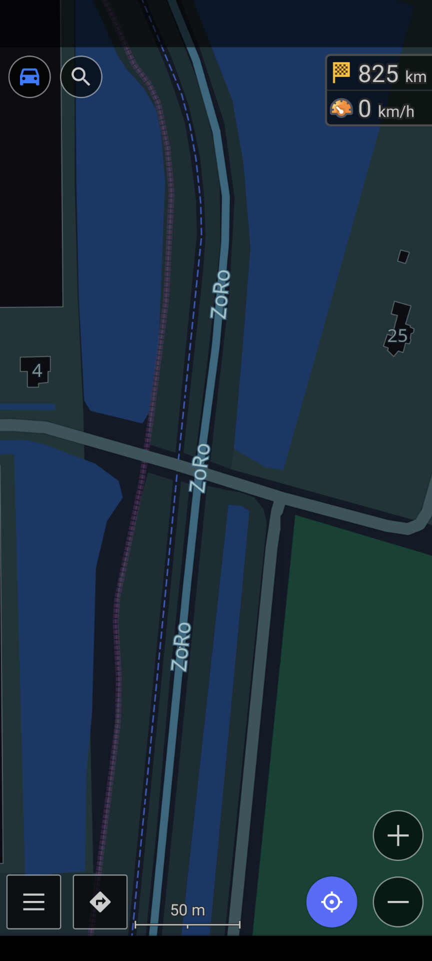
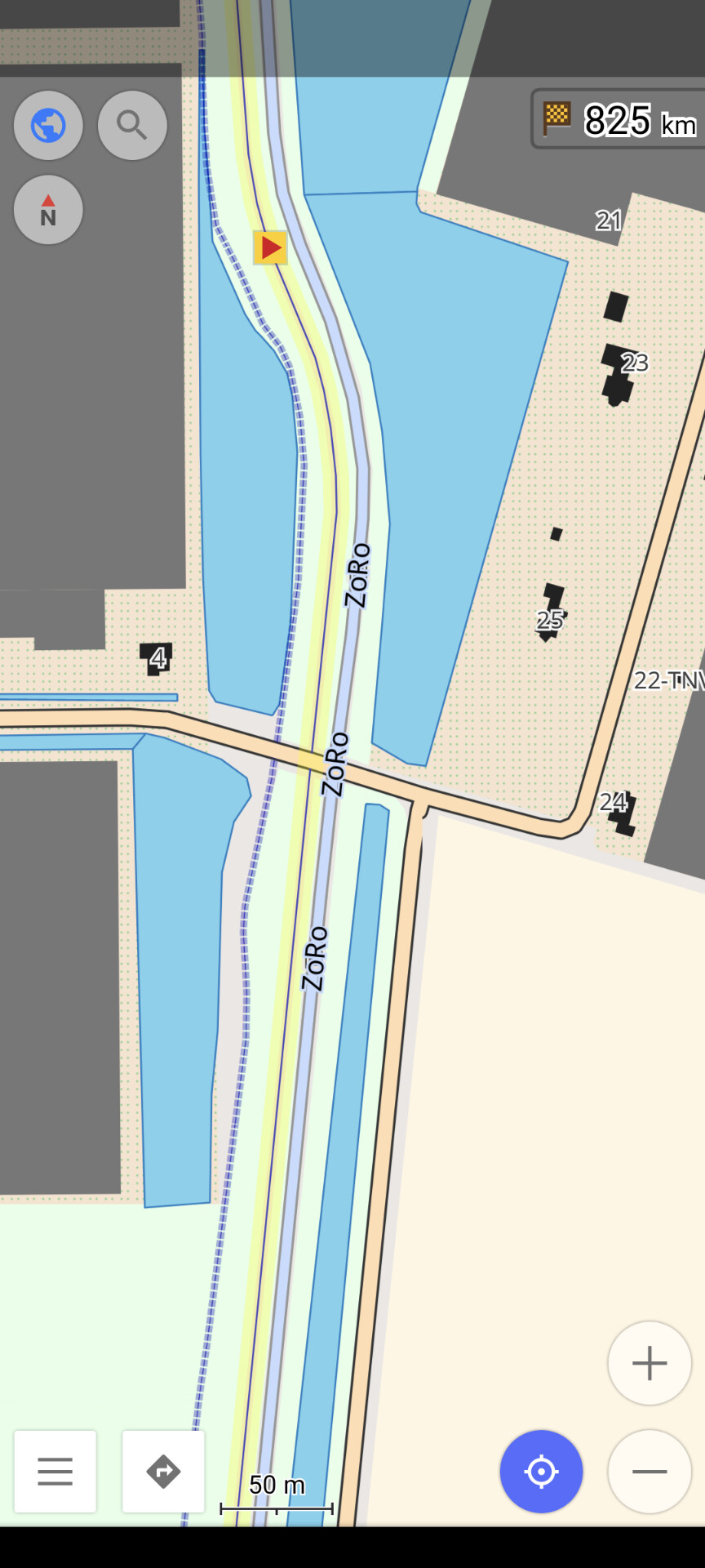
I have been developing Street Spirit, a new style using OpenStreetMap data. It uses Maplibre GL for client side rendering of MVTs generated by Tilekiln, which supports minutely updates using the standard osm2pgsql toolchain.
To focus style development, I have set its aims as being suitable for
use as a locator map,
to show off what can be done with OpenStreetMap data,
to be up-to-date with the latest OpenStreetMap data, and
using to orient a viewer to a location they are at.
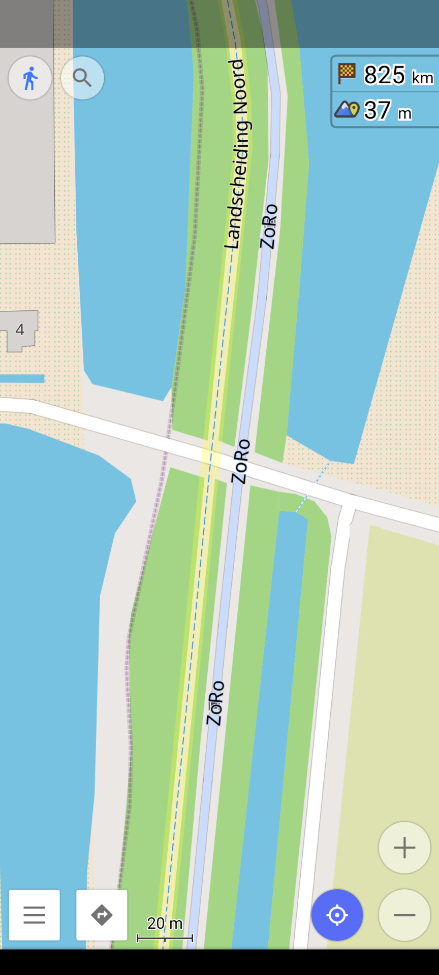
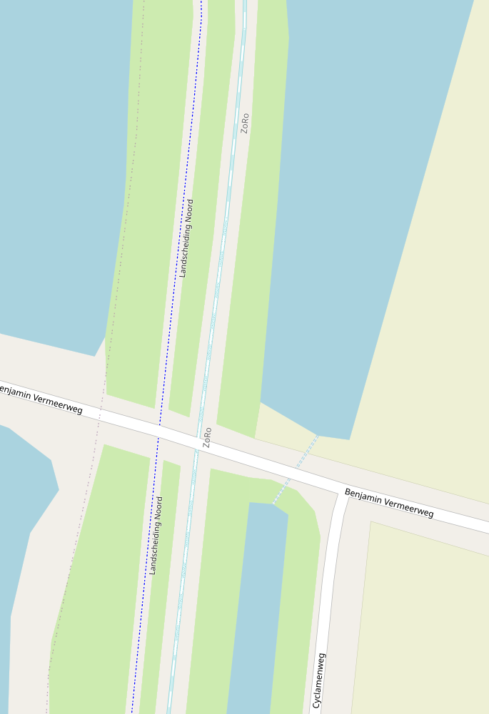
Although not complete - if a style can ever said to be complete - it is at the point where there’s enough features to give the overall feel of the map, at least for zooms 12 and higher. Lower zooms are missing many features still, particularly roads and rail and some landcover and other fills.
Because the style has a more clearly defined purpose, I’ve been able to use more of the colour pallet than many other styles, particularly compared to styles designed for overlaying other data on top of.
Nice work so far, Paul. I like the rather bold use of color, and it looks like you’ve still got more room on the palette to stretch a bit further. Rather pretty in a sense of “urban locator” and rather practical in a sense of “what’s around me now?” Yes, it looks a little “early” but that’s fine, I have a feeling you’ll grow this more as you get more feedback, and directions I see it going in are making me nod my head.
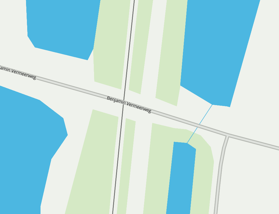
I’m not quite sure why some admin_level boundaries display with missing segments, but I suppose you’ll figure that out. Very noticeable is how careful you are at choosing which data to display at each particular zoom level (especially around z=12 to about z=15): this level of real care is apparent and it makes the zooming-in experience surprisingly pleasant.
Enthusiasm and encouragement from here. Keep it up!
Within reason, for the higher zooms. There are whole classes of features I want to include (e.g. shops), so at this point I wouldn’t want individual tickets for every single type of shop.
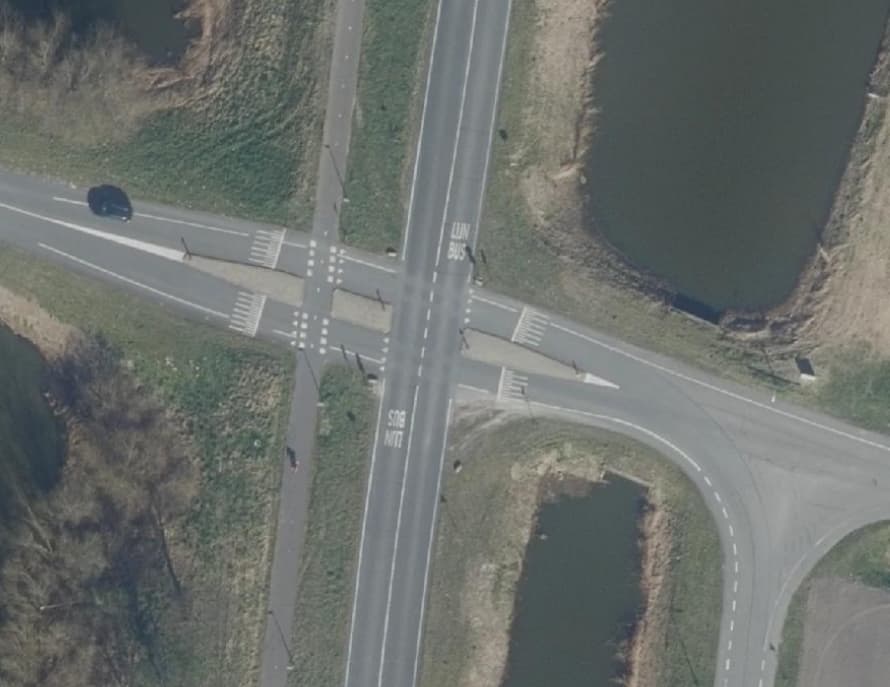
I’ve added an issue for various transit lines, which will cover busways. I could use more ideas for busway cartography, since few maps choose to render them right now.