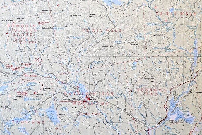
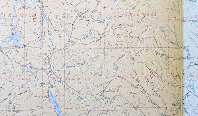
I am late to the party but wanted to weigh in, perhaps poke some holes in logic. Correct me if I’m wrong, but not all suggested edits have been made? Perhaps consensus has not been reached. I found it odd that Plantations are still admin_level=9 when their existence as an administrative entity is stronger than that of a township that has joined the unorganized territories. Plantations should definitely be admin_level=8
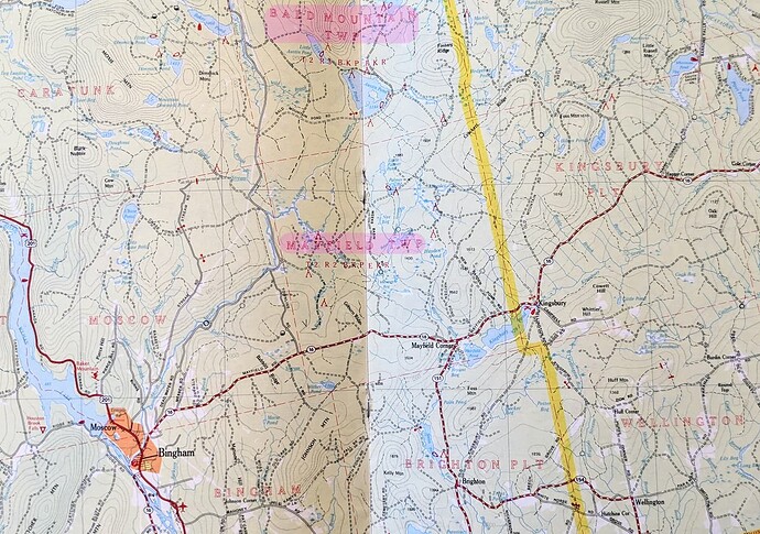
From what I understand an unorganized township (Forest City Township) has the same administrative responsibilities (none) as any of the survey blocks (T10 R12 WELS), the only difference being that once upon a time, the unorganized township had some administrative responsibilities, and now maintains an identity on maps with a name instead of a survey code. When a town disorganizes, they sell off government infrastructure. While they could go through the process to organize again, they will no longer have access to the administrative buildings they once owned, and will have to create entirely new facilities or buy back old ones. For these reasons, I view Townships as equal to the survey blocks. I don’t consider them to have any authority on their own. The advantage they have is if they are ever successful in organizing, their borders are predefined.
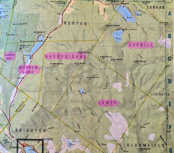
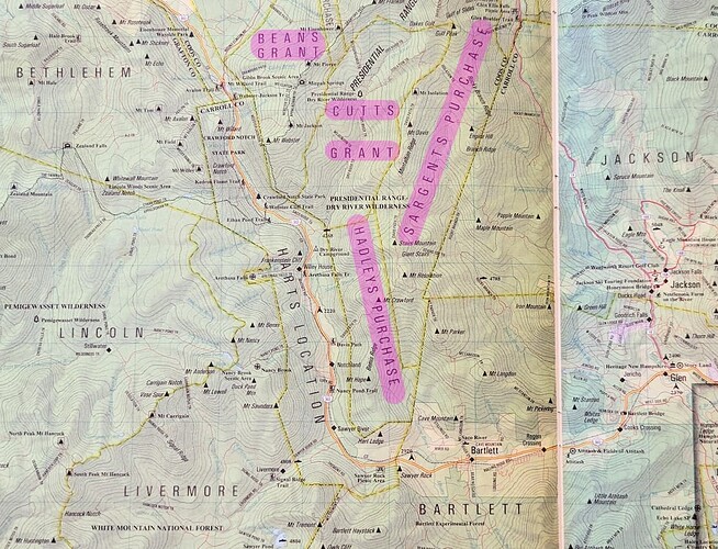
In Vermont, it looks like our gore’s and unorganized areas are admin_level=8 (Example: Warner’s Grant). However, in NH they are admin_level=9 (Example: Chandler’s Purchase). Aligning the three states as 8 or 9 should be a goal. From my previous research on this, VT/NH/ME have these strange designations, where the land maintains some level of identity thru naming. This differs from out west where they are looser and land is either within ‘city limits’ or part of the county. CT/MA/RI are more civilized and have (I think) allocated 100% land to incorporated towns/cities.
It was mentioned earlier, but when a series of Maine’s unorganized townships are adjacent to each other, the Census combines them and names them. This can be confusing for pretty much everyone. Since other census boundaries are in OSM (for better or for worse), I’d suggest additional coding be added to the Maine ‘blocks’ to stave off confusion, in which we can clearly designate those boundaries as census boundaries and not an admin_level.
As an aside, Prentiss Plantation recently disorganized, and is adjacent to two other unorganized townships. It’s predicted that in 2030 the Census will create a new ‘block’. Very exciting.
One pitfall to be careful of during this process: the inclusion of township/plantation in existing documentation may not represent the legal administrative structure of the entity. Magalloway Plantation disorganized and joined the unorganized territories in 2018. Codyville Plantation disorganized in 2019. However, in OSM these two entities showed up different. Magalloway is still listed as a Plantation but Codyville was updated to a Township. More recently, Drew Plantation disorganized, but is still listed as a Plantation in OSM. Perhaps these types of mistakes will be caught overtime and it’s not worth slowing down the project to get it 100% right. I think there may be a few other mislabeled Plantation/Townships situations.
Other fringe cases I noticed:
- Islands in Moosehead Lake are not captured by any admin_level below the county level
- similarly, there are a few islands off the coast that don’t seem to be captured
- Reservations do not have admin_level
