Hi all.
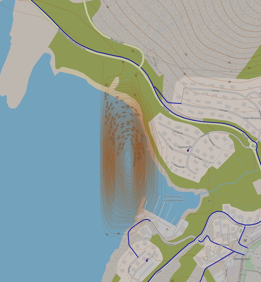
As I wrote in the title, there’s a strange mountain over the sea off the coast of Nuuk.
I’m trying to figure out how the map can have such a mistake.
I’m used to correct errors and approximations in OSM but here I have no idea how to do that. This post aims at reporting it.
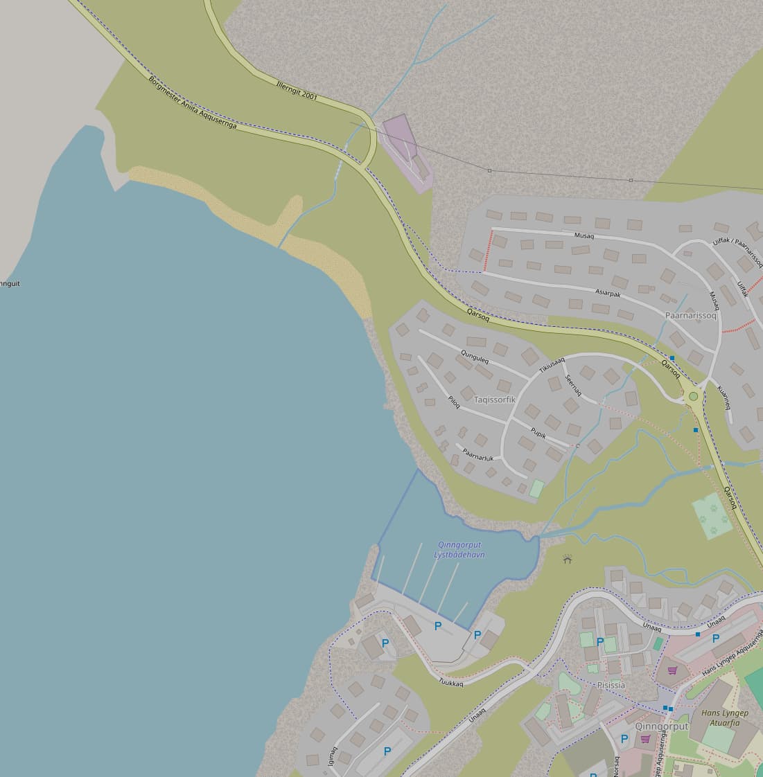
Here is a link that works for me: OpenStreetMap, the position is 64.17374, -51.68387
The hill only appears in some maps, and not on the carto layer (“Standard”), which means it’s likely not a problem with OSM data itself, but with third-party elevation data that some map layers use.
Cycle Map also kind of shows it, with fainter elevation lines. Interestingly, Tracestrack Topo doesn’t. Do they use different elevation data?
As Jarek writes this is not a problem with the OSM data itself, this is “third-party” data that is used to show the altitude information.
Some maps use SRTM info from NASA - over the years I have seen similar “bugs” with this data, but they tend to disapear as fast as they come.
So personally I guess it is the same here.
There are other models for this information as well, but I do not know too much about them by heart, and actually do not know which model is used by the maps that show it.