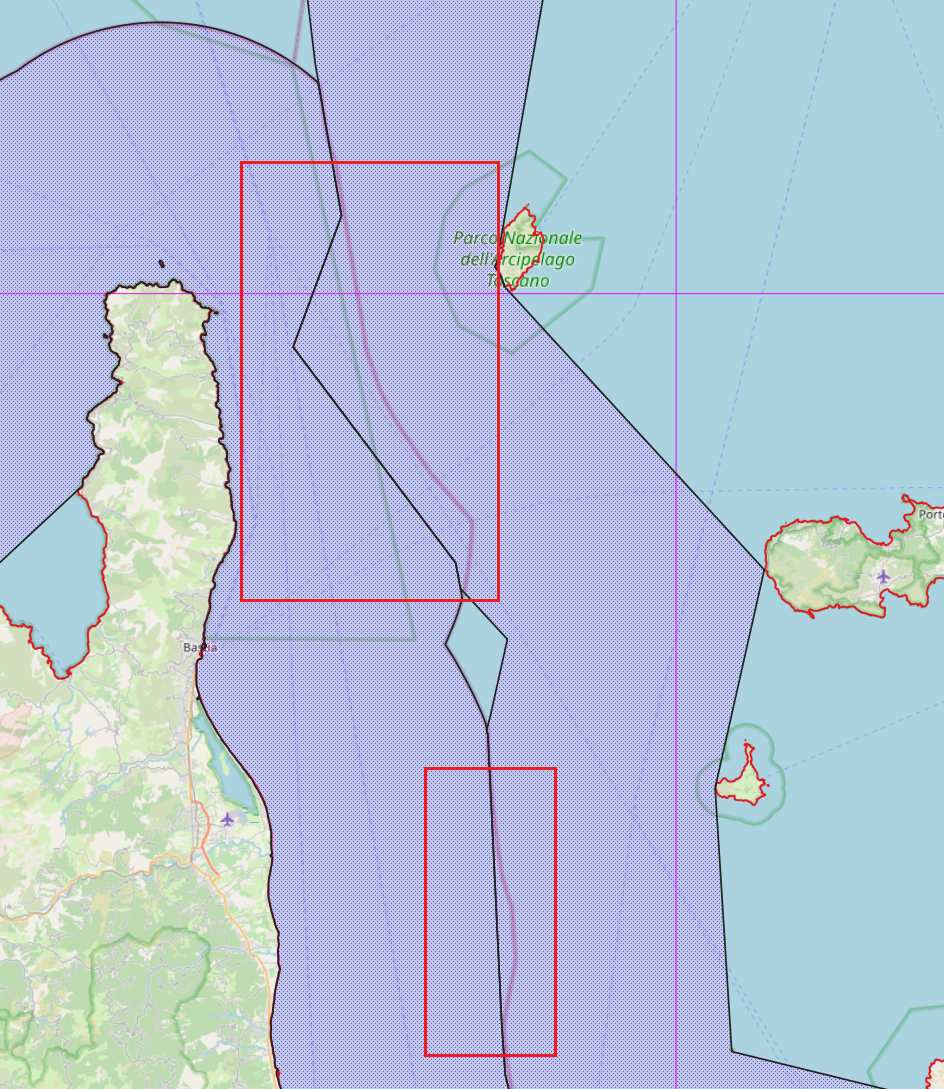
Hi there, Elliott here with the Data Working Group. I am looking for some local expertise to help with a ticket we received about maritime boundaries being incorrect in and around Italy.
A user wrote us saying the boundaries are wrong, citing a website called Marine Regions. They show some examples with markup which I’ll paste below.
Would anyone here be interested in updating these boundaries if a free and clear license can be found for the data on that site? Is there another official source that the community could use to make the updates?

Thanks for your help!
Elliott Plack
OSMF Data Working Group