On December 19, the Federal Highway Administration published the 11th edition of the national Manual on Uniform Traffic Control Devices (MUTCD), the first major release since 2009, sending roadgeeks like me racing to update online documentation about the MUTCD before it goes into effect a couple weeks from now.
The MUTCD is a collection of national and state regulatory standards for traffic signs, signals, markings, and layouts. Along with its state variants, the MUTCD influences nearly every aspect of navigation mapping in OSM. Even if you never touch the Traffic Sign preset or traffic_sign=* key, at some point you’ve probably needed to align a road to its yellow centerline, tag a speed limit in miles per hour, or indicate whether a crosswalk has lowered curbs or a railroad crossing has crossing gates. All of this is standardized in the MUTCD, and all of the national MUTCD signs are documented on the wiki.
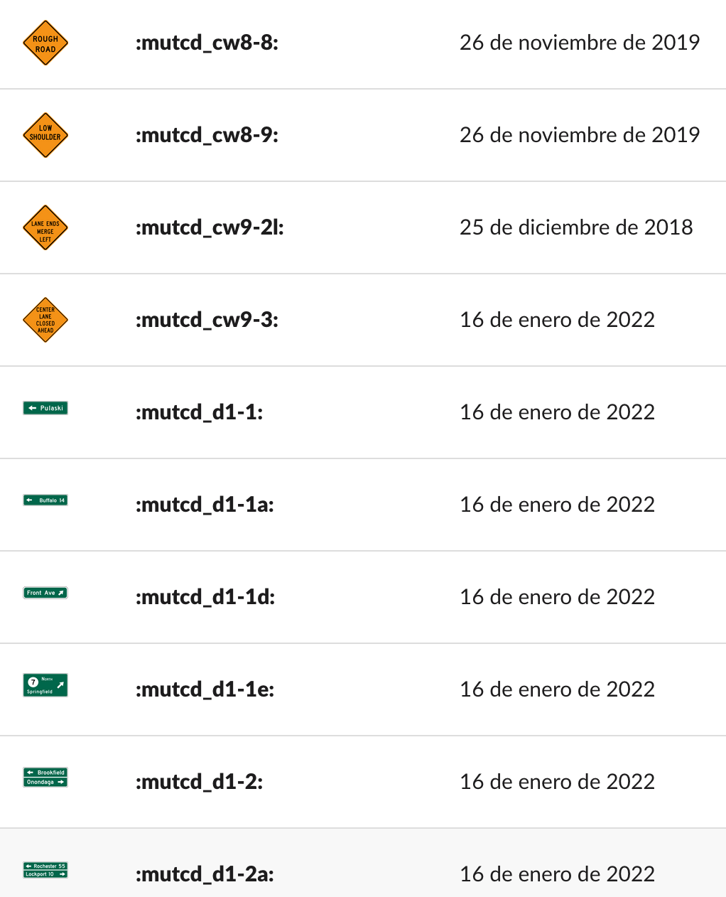
By my count, there are now at least 1,350 numbered signs in the national standard, including about 270 signs new to this edition. Many of the new signs were adapted from the more than 10,000 signs that have previously been adopted at the state level. The wiki’s searchable MUTCD sign catalog has been updated to incorporate all the changes. However, many of the signs still have a big ![]() next to them because I don’t know of a relevant tagging scheme.
next to them because I don’t know of a relevant tagging scheme.
Almost all of the signs in the new edition have been extracted from the standard and uploaded to Wikimedia Commons. A few are mentioned but never depicted; we’ll have to wait until a corresponding Standard Highway Signs manual comes out with the dimensioned diagrams. In the meantime, here’s a sample of the additions that are relevant to OSM:
![]()
![]()
![]()
![]()

![]()
![]()
![]()
![]()
![]()
![]()
![]()
![]()
![]()
![]()
![]()
![]()
![]()
![]()
![]()
![]()
![]()
![]()
![]()
![]()
![]()
![]()
![]()
![]()
![]()
![]()
Whew! But the new MUTCD edition didn’t just add signs, it also redesigned nine signs, deleted seven signs, and renumbered 85 signs.
Twenty-one of these numbers got repurposed to represent a different sign. This is a bit of a problem for us: the traffic_sign=* tagging scheme assumes that sign codes are constant, but what should we do when they aren’t? These 168 traffic_sign=* nodes suddenly became outdated overnight. Since some of the signs don’t have a clean one-to-one replacement, maybe someone can design a MapRoulette challenge to make it easy to retag them?
For the sign numbers that got deleted or repurposed, should we devise an edition-qualified namespace? Or should we try to find functional equivalents? For example, I’ve previously conflated the outdated weight restriction signs in Ohio with newer weight restriction signs that are identical except for a date at the bottom. Maybe ![]() and
and ![]() are close enough to conflate? What about the catchy
are close enough to conflate? What about the catchy ![]() versus its blander replacement,
versus its blander replacement, ![]() ?
?
Most of the MUTCD’s provisions are unique to the U.S. and a few other countries. By adequately representing the American system of traffic signs in OSM documentation and discussions, we keep mappers from getting confused by overseas examples, and also ensure that global tagging conventions and software can accommodate our alternate reality.
In addition to the OSM Wiki, the MUTCD signs show up in various other places. OSMUS Slack has a full complement of MUTCD emoji, so you can express precisely how you feel about someone’s ![]() tagging practice or wear your
tagging practice or wear your ![]() badge with pride:
badge with pride:
Someone needs to go through and add all the new emoji. Hopefully they won’t overwhelm the system. ![]()
This is the first time since 2001 that the MUTCD has been published only in PDF format rather than as plain HTML webpages. It’s unfortunate, because the old HTML format came with a dedicated page describing each figure in excruciating detail, great for explaining American traffic standards to folks overseas, and also great for folks with accessibility needs. Since the Federal Highway Administration has discontinued this format, Wikimedians have begun transcribing the standard on Wikisource. They need volunteers to help proofread and format the raw OCR text. If you’re graphically inclined, the road diagram figures all need to be extracted from the PDFs and uploaded to Wikimedia Commons. This will simultaneously benefit the OSM Wiki, which includes many diagrams of road markings and layouts from the Vienna Convention but hardly any from the MUTCD.
The new edition takes effect nationally on January 18. However, states, territories, and federal agencies have a two-year grace period to incorporate the 11th edition’s provisions into their versions of the MUTCD and will have until 2026 to 2034 to bring roads into compliance (depending on the provision). Let’s use this thread to coordinate our efforts at bringing OSM into compliance!