It all started to simple, I thought I’d have a look at the biggest islands in OSM, but then I went down a bit of a rabbit hole.
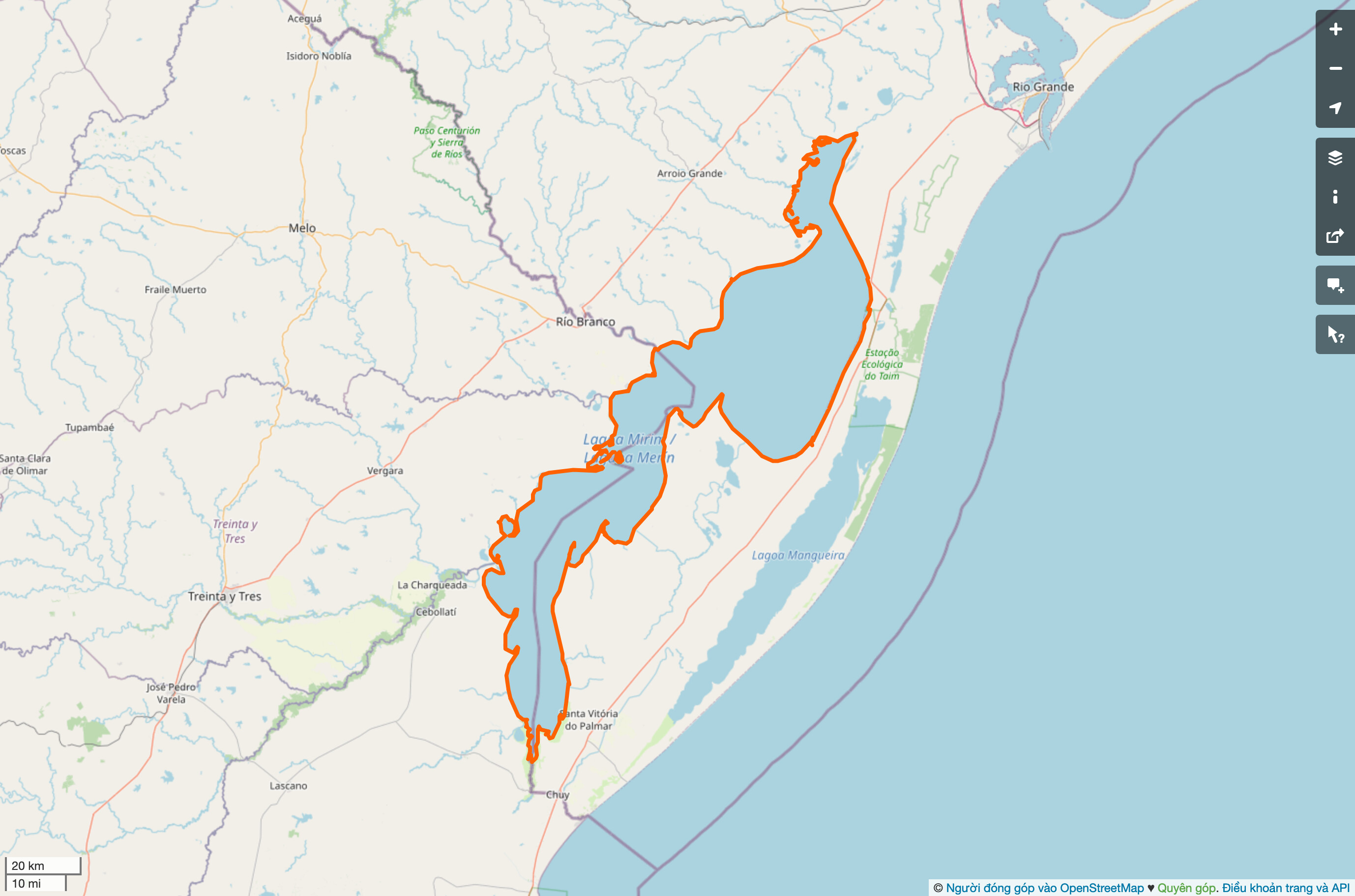
The World's biggest islands, according to OSM (place=island)
| Object | Name | Area |
|---|---|---|
| https://www.openstreetmap.org/relation/7662545 | Greenland | 2.00 megameter² |
| https://www.openstreetmap.org/relation/3986076 | New Guinea | 784659.25 kilometer² |
| https://www.openstreetmap.org/relation/3986083 | Borneo | 734766.84 kilometer² |
| https://www.openstreetmap.org/relation/4097321 | Madagascar | 599414.37 kilometer² |
| https://www.openstreetmap.org/relation/3957497 | Baffin Island | 519333.26 kilometer² |
| https://www.openstreetmap.org/relation/8882668 | Sumatra | 431640.45 kilometer² |
| https://www.openstreetmap.org/relation/6677259 | Honshu | 223182.92 kilometer² |
| Relation: Victoria Island (5857216) | OpenStreetMap | Victoria Island | 215938.68 kilometer² |
| https://www.openstreetmap.org/relation/6038068 | Great Britain | 212939.36 kilometer² |
| https://www.openstreetmap.org/relation/1656492 | Ellesmere Island | 207799.49 kilometer² |
Comparing the list with Wikipedia, it’s exactly the same. The exact area is a bit different - Wikipedia gives the area of Greenland as 2.166 million km² whereas Geodesk is giving me 2.00 million km². There are all sorts of possible reasons for this, I haven’t looked into it further. But it’s good enough for me, at least the order is the same.
I compared the top 100 islands in OSM with the top 100 islands in the world according to Wikipedia and I only found one missing in our data. It was mapped, but it was missing the place=island tag. That’s a quick fix.
The Python package I am using for printing units says the area of Greenland is 2 megametres². I suppose that’s technically not wrong. I might even start saying this!
Let’s look at something else.
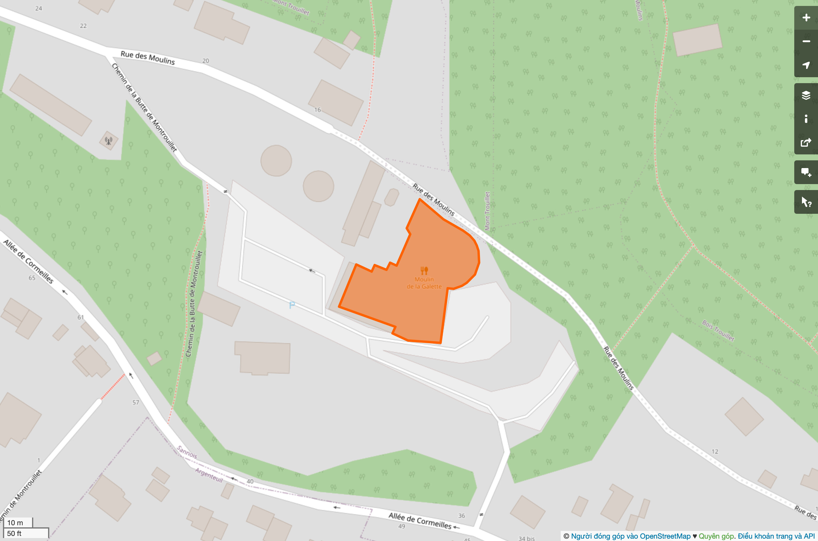
The World's biggest historic ships, according to OSM (historic=ship)
| Object | Name | Area |
|---|---|---|
| Way: USS Midway Museum (25965018) | OpenStreetMap | USS Midway Museum | 15563.22 meter² |
| Way: USS Yorktown (39010151) | OpenStreetMap | USS Yorktown | 11524.40 meter² |
| Way: USS Lexington Museum on the Bay (165614046) | OpenStreetMap | USS Lexington Museum on the Bay | 10662.40 meter² |
| Way: USS Intrepid (50603780) | OpenStreetMap | USS Intrepid | 10583.02 meter² |
| Way: USS Hornet (CV 12) (108194377) | OpenStreetMap | USS Hornet (CV 12) | 10555.24 meter² |
| Way: 基辅号航母 (165514873) | OpenStreetMap | Soviet aircraft carrier Kiev | 9277.14 meter² |
| Way: The Queen Mary (438331516) | OpenStreetMap | The Queen Mary | 9166.32 meter² |
| Way: Vasamuseet (27288534) | OpenStreetMap | Vasa Museum | 7880.58 meter² |
| Way: USS New Jersey (29667862) | OpenStreetMap | USS New Jersey | 6939.38 meter² |
| Way: USS Missouri (165627410) | OpenStreetMap | USS Missouri | 6855.96 meter² |
That’s a bunch of big boats. The biggest an aircraft carrier the size of two Manhattan city blocks. That’s pretty cool.
The World's biggest flowerbeds, according to OSM (landuse=flowerbed)
| Object | Name | Area |
|---|---|---|
| Way: 1118653734 | OpenStreetMap | Sea of Flowers | 349217.04 meter² |
| Way: Sere Sînpetru (38143512) | OpenStreetMap | Sere Sînpetru | 338457.25 meter² |
| Way: Parc Daniel Bernardet (187629741) | OpenStreetMap | Parc Daniel Bernardet | 334423.92 meter² |
| Way: 76909897 | OpenStreetMap | None | 205707.34 meter² |
| Way: 1111590473 | OpenStreetMap | None | 148362.51 meter² |
| Way: 1052601031 | OpenStreetMap | None | 106489.11 meter² |
| Way: 1087067280 | OpenStreetMap | None | 101537.26 meter² |
| Way: 1156117971 | OpenStreetMap | None | 80204.13 meter² |
| Way: 727363602 | OpenStreetMap | None | 76271.06 meter² |
| Way: 1214753344 | OpenStreetMap | None | 62539.05 meter² |
The Sea of Flowers sounds rather more appealing than it looks in aerial imagery! Let’s give it the benefit of the doubt, the photo must have been taken in the winter.
The World's biggest car parks, according to OSM (amenity=parking)
| Object | Name | Area |
|---|---|---|
| Way: Parking Company of America (723528809) | OpenStreetMap | Parking Company of America | 120.86 kilometer² |
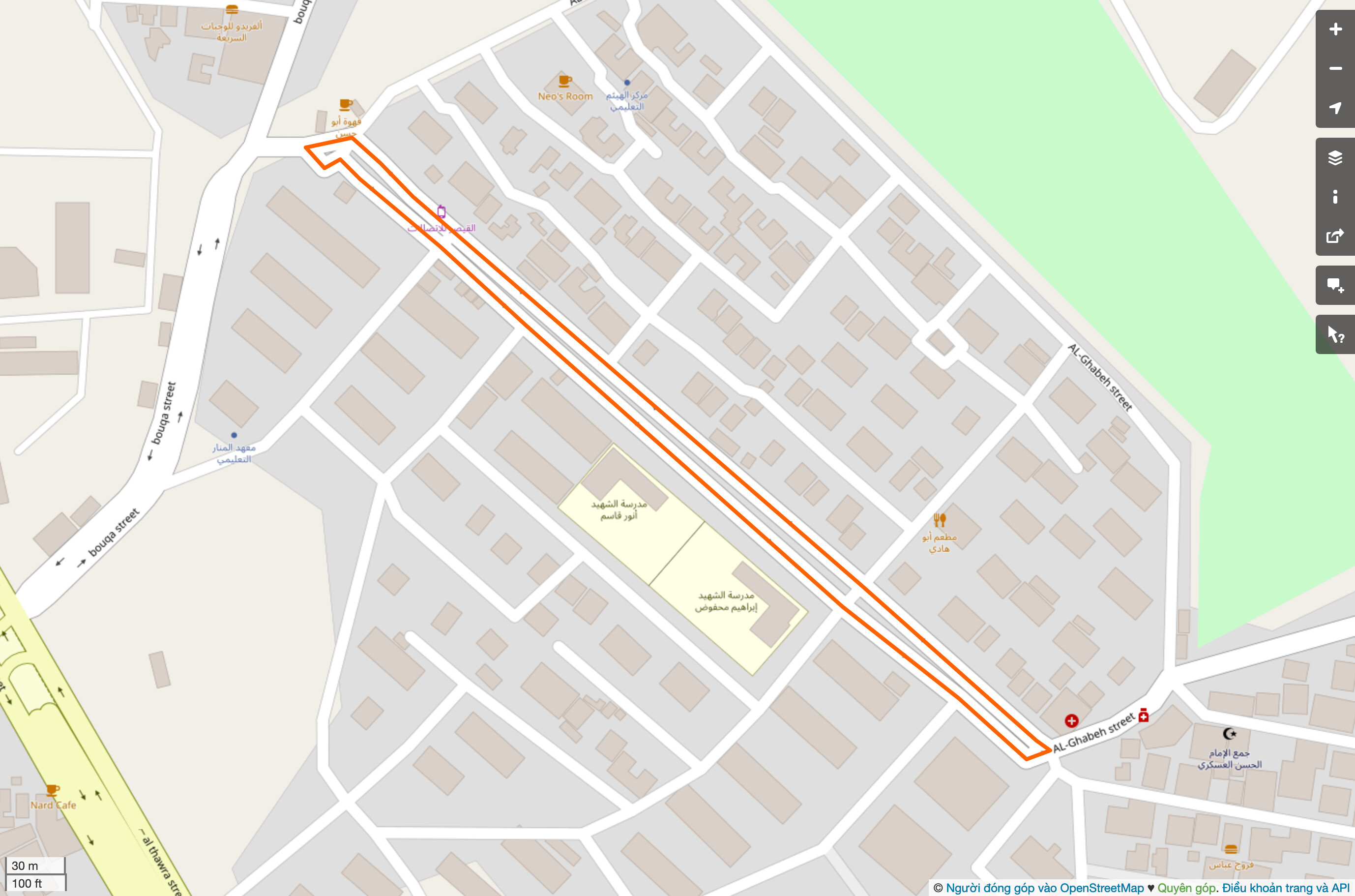
| Way: حجز سيارات البهيتة (1093407868) | OpenStreetMap | حجز سيارات البهيتة | 2.17 kilometer² |
| Way: 689535061 | OpenStreetMap | None | 1.34 kilometer² |
| Way: 311151534 | OpenStreetMap | None | 1.12 kilometer² |
| Way: 1207281476 | OpenStreetMap | None | 1.04 kilometer² |
| Way: پارکینگ ایران خودرو تبریز (308975245) | OpenStreetMap | پارکینگ ایران خودرو تبریز | 959436.41 meter² |
| Way: 759170610 | OpenStreetMap | None | 878834.74 meter² |
| Way: 839654128 | OpenStreetMap | None | 875325.72 meter² |
| Way: Lot 10 (350688537) | OpenStreetMap | Lot 10 | 860765.16 meter² |
| Way: 547984709 | OpenStreetMap | None | 832782.17 meter² |
Huh? Some big car parks (e.g. at an Audi factory in Mexico) and some objects that are definitely not car parks. I wonder if there’s an issue with the Arabic translation of the amenity=parking preset? Because a lot of these probably-not-car-parks are in Saudia Arabia.
The World's biggest buildings, according to OSM (building=*)
| Object | Name | Area |
|---|---|---|
| Way: 1256620877 | OpenStreetMap | None | 24315.37 kilometer² |
| Way: 1249632822 | OpenStreetMap | None | 49.65 kilometer² |
| Relation: Mulshi Lake (1898752) | OpenStreetMap | Mulshi Lake | 37.83 kilometer² |
| Relation: 1303420 | OpenStreetMap | None | 21.38 kilometer² |
| Way: Nam Neun 1 Hydropower Project (1250980010) | OpenStreetMap | Nam Neun 1 Hydropower Project | 9.75 kilometer² |
| Way: 1258417341 | OpenStreetMap | None | 6.61 kilometer² |
| Way: 1258241451 | OpenStreetMap | None | 5.27 kilometer² |
| Way: 289090029 | OpenStreetMap | None | 3.86 kilometer² |
| Way: 301773376 | OpenStreetMap | None | 2.75 kilometer² |
| Way: 宏兴钢铁 (1210907477) | OpenStreetMap | 宏兴钢铁 | 2.32 kilometer² |
The World’s biggest building is a rectangle in the ocean, south west of Australia and four fifths the size of Belgium. Got it.
The World's biggest trees, according to OSM (natural=tree)
| Object | Name | Area |
|---|---|---|
| https://www.openstreetmap.org/way/231284354 | None | 54.56 kilometer² |
| https://www.openstreetmap.org/way/385212543 | None | 50.22 kilometer² |
| https://www.openstreetmap.org/relation/12192453 | None | 15.62 kilometer² |
| https://www.openstreetmap.org/way/342745799 | None | 9.31 kilometer² |
| https://www.openstreetmap.org/way/1084897934 | None | 9.27 kilometer² |
| https://www.openstreetmap.org/way/1084897936 | None | 3.74 kilometer² |
| https://www.openstreetmap.org/way/1084897925 | None | 2.94 kilometer² |
| https://www.openstreetmap.org/way/1085217029 | #acn48hos | 2.82 kilometer² |
| https://www.openstreetmap.org/way/1085217030 | None | 2.30 kilometer² |
| https://www.openstreetmap.org/relation/7125879 | None | 2.16 kilometer² |
A common typo for natural=wood?
The World's biggest village greens, according to OSM (landuse=village_green)
| Object | Name | Area |
|---|---|---|
| https://www.openstreetmap.org/way/1117117014 | Kapkembu sublocation | 39.16 kilometer² |
| https://www.openstreetmap.org/way/137189252 | Desa Oi Bura | 35.82 kilometer² |
| https://www.openstreetmap.org/way/723564216 | Serra do Mulungu | 29.40 kilometer² |
| https://www.openstreetmap.org/way/1117117035 | Chepakundi sublocation | 25.67 kilometer² |
| https://www.openstreetmap.org/way/1116839456 | Kiungone location | 23.47 kilometer² |
| https://www.openstreetmap.org/way/1117117022 | Kiptagich sub location | 22.29 kilometer² |
| https://www.openstreetmap.org/way/706495929 | Assentamento Madre Terra | 21.91 kilometer² |
| https://www.openstreetmap.org/way/656744927 | Assentamento Itaguaçu | 20.36 kilometer² |
| https://www.openstreetmap.org/way/1116839454 | Chure location | 20.33 kilometer² |
| https://www.openstreetmap.org/way/1117117033 | Amalo sublocation | 20.07 kilometer² |
The most surprising thing is that some of these have been around for 10 years or more and no one has noticed them!
The World's biggest benches, according to OSM (amenity=bench)
| Object | Name | Area |
|---|---|---|
| https://www.openstreetmap.org/way/297432501 | None | 1.01 kilometer² |
| https://www.openstreetmap.org/way/503422109 | None | 116700.38 meter² |
| https://www.openstreetmap.org/way/549702833 | None | 85949.71 meter² |
| https://www.openstreetmap.org/way/373825728 | Hilltop Park | 78593.49 meter² |
| https://www.openstreetmap.org/way/80360760 | None | 50823.59 meter² |
| https://www.openstreetmap.org/way/29758674 | Logan Field | 46388.94 meter² |
| https://www.openstreetmap.org/way/1042139843 | None | 32824.41 meter² |
| https://www.openstreetmap.org/relation/5329389 | None | 31168.47 meter² |
| https://www.openstreetmap.org/relation/2349453 | None | 23171.90 meter² |
| https://www.openstreetmap.org/way/461401117 | Gradas;Parque Nuevo Xalapa | 22043.81 meter² |
Anyone up for cleaning these up? How do we even get started? Are there validators with warnings like “that’s an unusual size for an object of this type”?
By the way, if anyone is interested in other tags, I’d be happy to run my script with them.