Hello! Noob here and wondering if I could get some help on using the most accurate features for a nearby creek/tidal marsh.
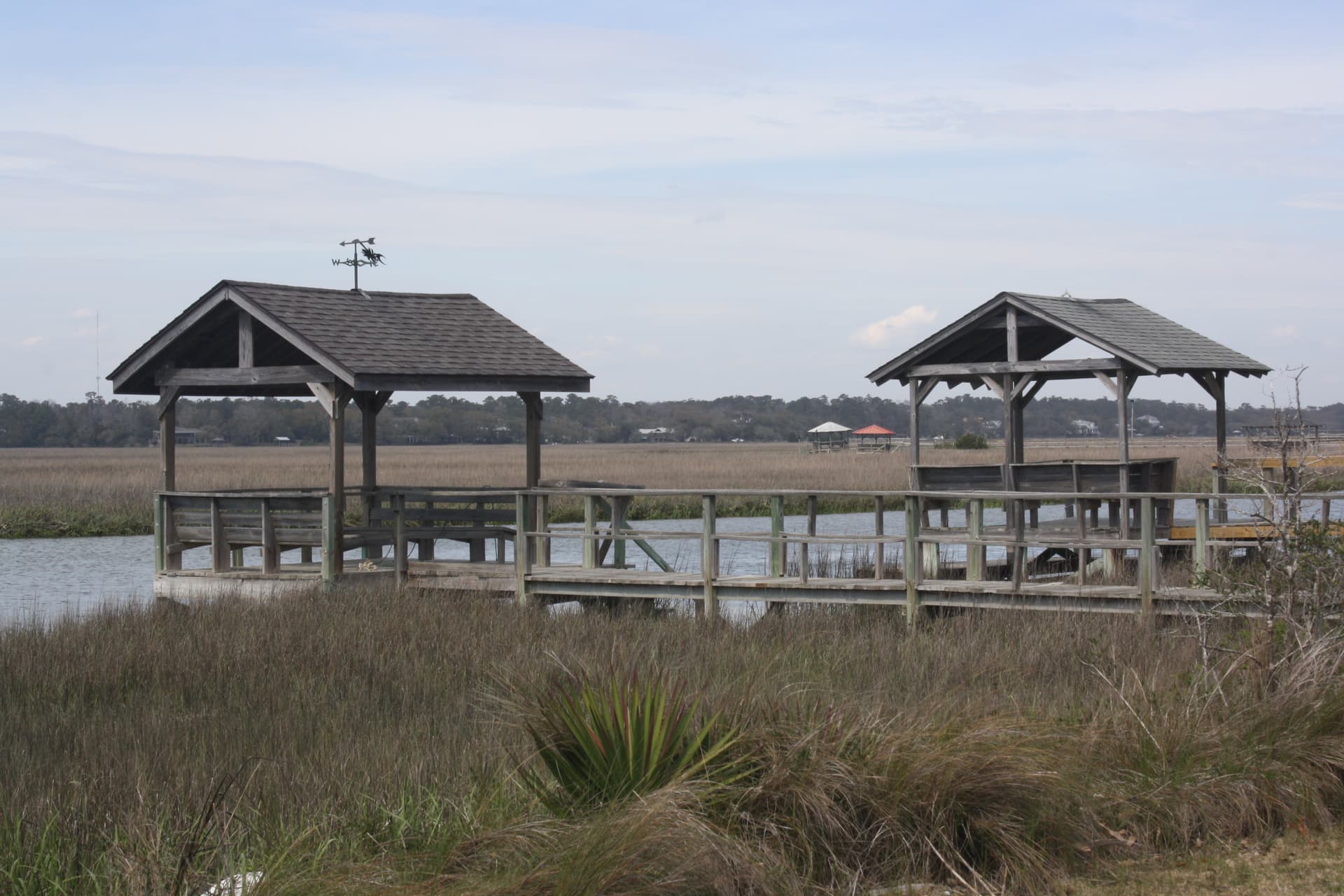
The area in question is Pawleys Island (OpenStreetMap) and I would like to know what feature to use for the docks associated with each “pier”. Currently, it appears that some of these are labelled as shelters (Tag:amenity=shelter - OpenStreetMap Wiki), is this accurate? Would “dock” be a better feature? Final question, are “piers” the most apt pathway for the walkways leading to each of these docks?
Well they really are shelters, if not only that. You could even refine with shelter_type=weather_shelter.
If you map these shelters as areas, you should combine the shelter and pier tags. You could even add the benches.
For the walkways, if you look at the wiki page of man_made=pier, I’d say it fits perfectly. However, the one I checked lacks a highway=path tag as, according to the the doc, one should be added. I guess I would also add material=wood to the existing surface=wood.
What you have sounds reasonable. I would go ahead and include any benches or other features like you would while on land. It is better to be though since someone can easily correct or refine what you do.