aTarom
February 5, 2023, 10:08am
1
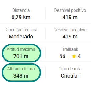
Hi, any tags to indicate the maximum and minimum elevation on a mountain route?
“ele:max” & “ele:min” discarded because they are for bodies of water according to wikihttps://wiki.openstreetmap.org/wiki/Key:ele https://wiki.openstreetmap.org/wiki/Key:ele:max “The maximum elevation of a feature above sea level, in metres.”
2 Likes
Casey_boy
February 5, 2023, 10:17am
2
Personally, I can see the value in using those tags on features other than reservoirs - such as in your example.
Note, after all, the Wiki is just documenting current usage.
2 Likes
Nadjita
February 5, 2023, 10:29am
3
Since this information can automatically be calculated from SRTM data, I don’t think it should go into OSM. Nearly all software doing the calculation is using this approach anyway.
7 Likes