I’m not sure about church (most churches seem to have windows) and industrial (this tag is a bit too generic, it’s hard to tell for what kind of buildings people actually use it; and I think that most industrial buildings actually do have windows).
Other ones seem fine, I’ll add them to the list. Currently the function to determine whether to render windows for a building looks like this.
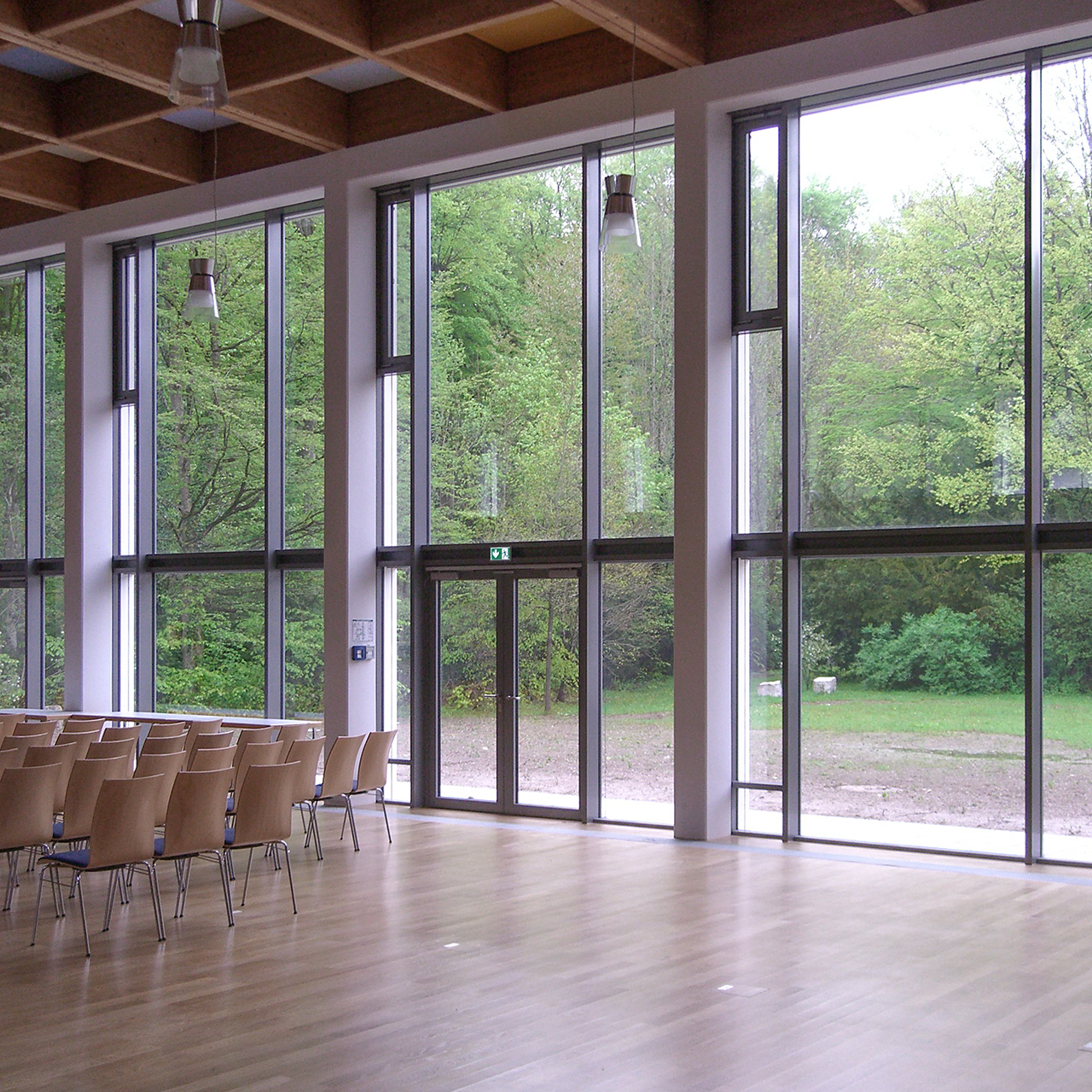
I believe we should have a generic way to distinguish basic facade types, e.g.
perforated facade (“wall with windows”, in German Lochfassade)
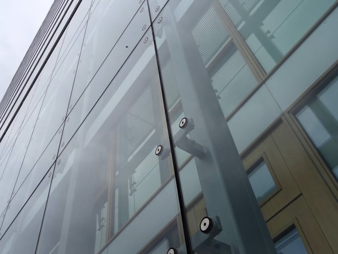
There are other types, referring to the construction (structure, how the glass or panels are held in place, water is drained and wind forces are led to the ground), I don’t know the English terms and they are fairly specific:
wie should maybe also have something for “closed”, i.e. a perforated faced without perforations
For perforated facades (and maybe in general) it could be interesting to know the ratio open/total surface.
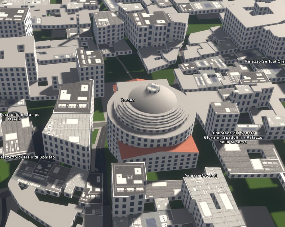
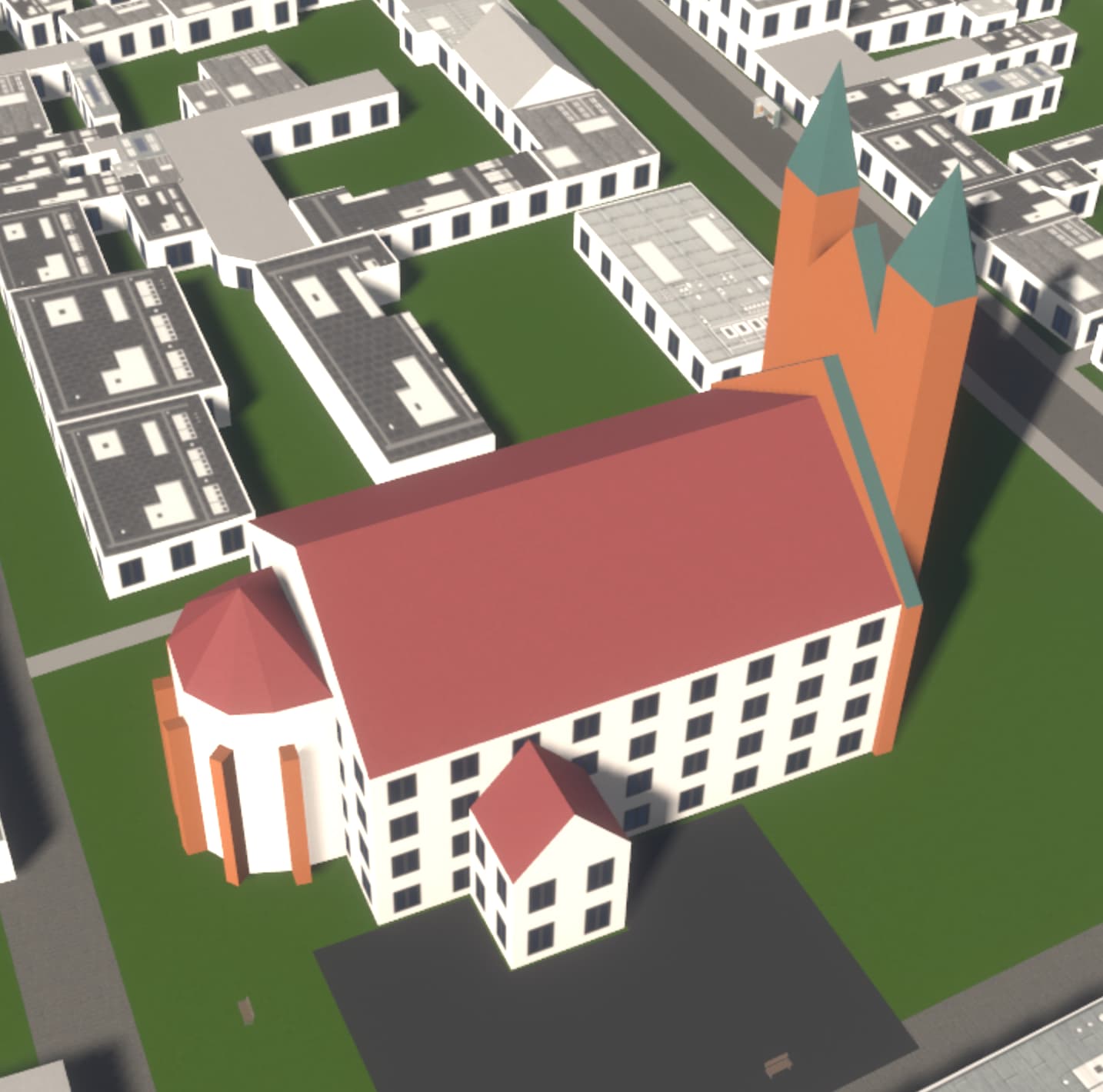
Btw, Panteon has a lot of windows in this first version
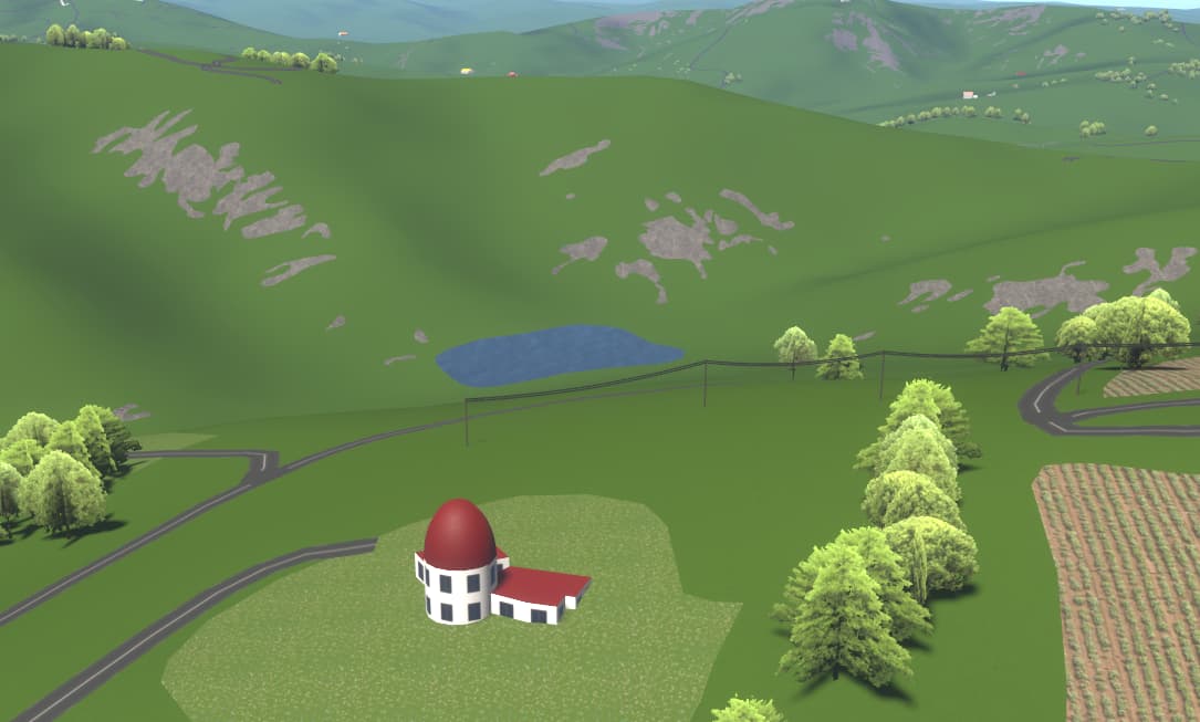
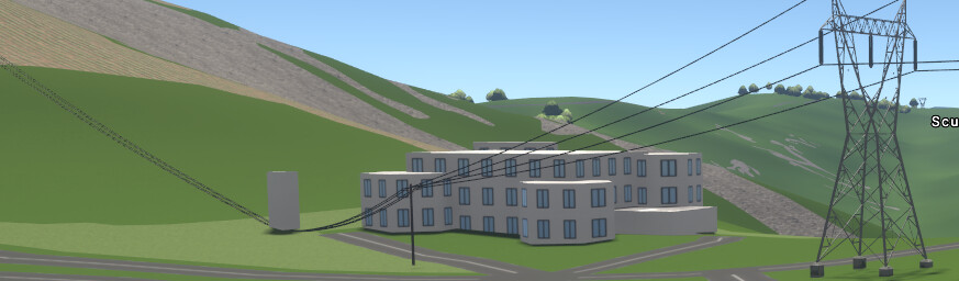
Moved from StreetComplete to OSM Buildings (that never seems to update and has ludicrous and missing building elements), to F4Map, which does show the missing elements and is quick to refresh but not all parts and no windows and now this, Streets GL, oh, ah, ooh, eh, silent. A sample of an greater area I’ve been mapping near ground up, but for to roads and residential area outlines in great detail at a low view angle. The undulation of the landscape and the many calanchi erosion zones against the hills is awesome. The building dome now looking more like a star observatory I’ve just tagged with roof:angle=20 value, roof:height I’ve never understood… from where?. The roof is really maroon coloured and the walls are white plastered. My interpretation is that more goes into the rendition… the farmland at right is really light in the ESRI imagery, on the left still to be cropped and ploughed.
Maybe we can discuss this here with a wider audience and not only in issue #5
Where and how to map a bus stop.
Currently: a bus stop shelter is rendered where the highway=bus_stop is mapped - even when on the street.
Suggestion: a generic bus stop icon, also where the highway=bus_stop is mapped, but which does not harm/bother anyone even when rendered on the street.
Thank you for the suggestion. I should certainly do that at some point to have some sort of a formal description of how different tags affect rendering.
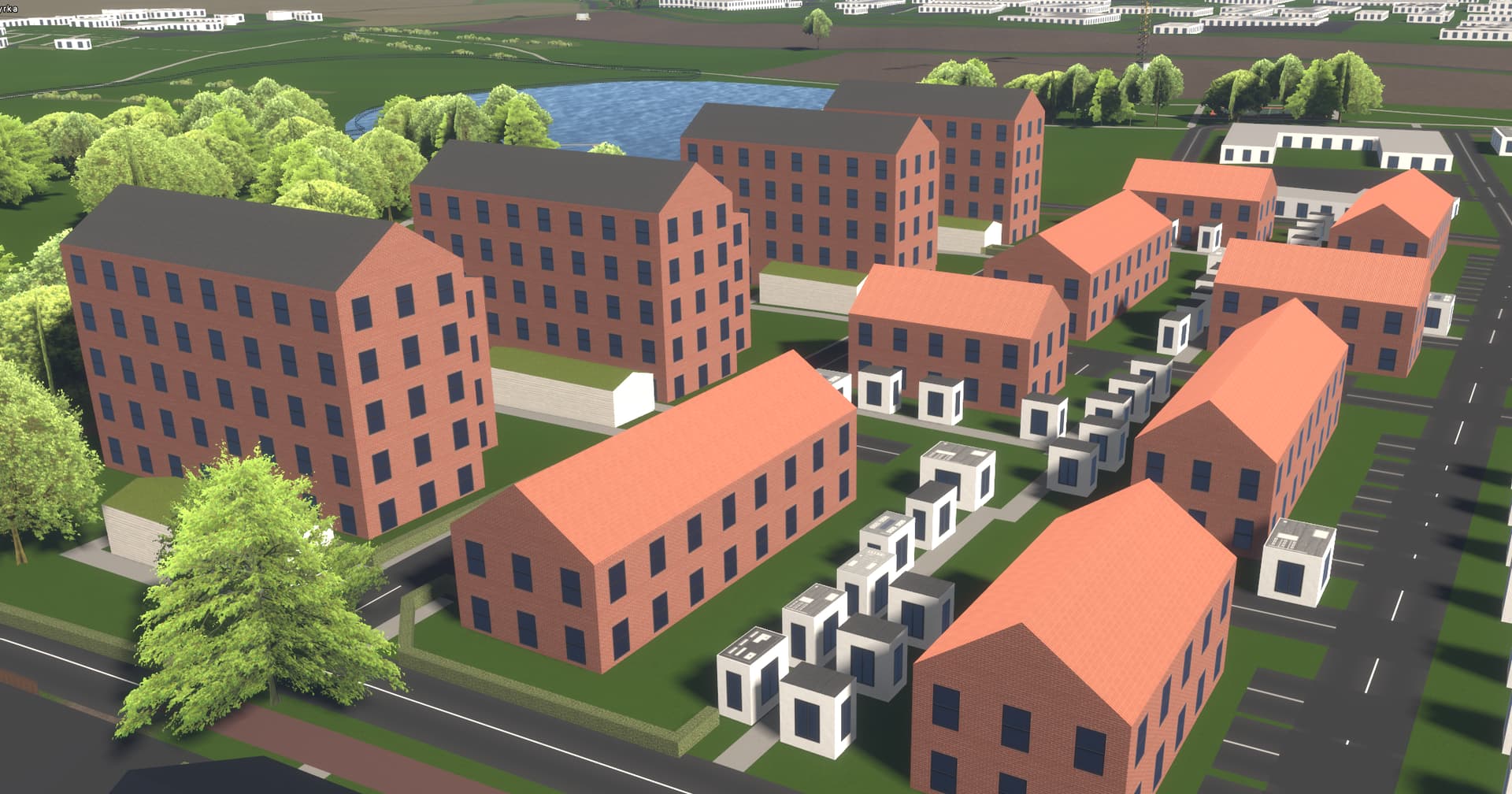
This is awesome! My neighborhood looks pretty good actually! If I can wish for something, it would be nice if sheds were rendered without windows. Keep up the great work!
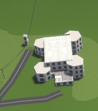
There was mention somewhere above of windows=yes/no so experimented with a just added building. The front 1 floor section and the power substation left over got the windows=no tag, but windows there are. Hope this is on the ToDo list.
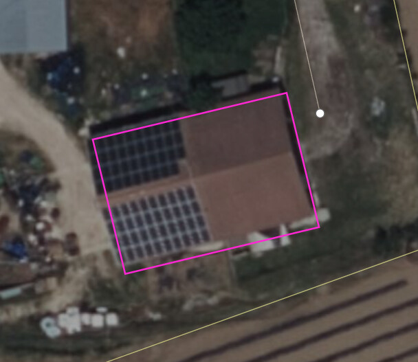
Oh, and I tagged roof:material is photovoltaic main building centre square. There’s actually a pattern visible there.
Edit: Just noticed the 3 wire powerlines connect to the ground of the substation, they actually connect at the top. Maybe a height tag needs adding to the terminal nodes.(?)
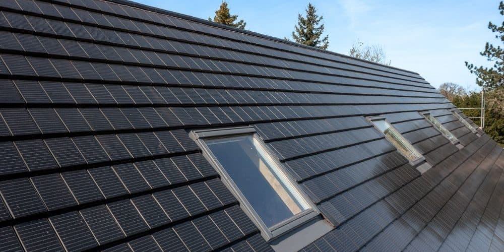
I’m not sure “photovoltaic” is a “roof material”. Usually the panels are on the roof which is made of another material, I think you should tag them as the wiki suggests: Tag:generator:source=solar - OpenStreetMap Wiki
For the case in your image I would still choose another word for the value that describes the material (isn’t “photovoltaic” more the technology/physical phenomenon more than the material?), and add those tags I linked in addiction in top of the roof. Sorry for the OT btw
This image better visualizes the power lines going to the foot of the substation instead of the top. Had added height=7.5 to the terminal points but that was to be expected. Still need to learn how to size lattice construction power masts as this looks like a default type max.
As for the pattern on the flat roof, that’s general artistic work learned from glossing over at where the church image link above went, nothing to do with photovoltaic roof material.
Holy moly, awesome! And open source, to boot! So far, I found F4Map to be the best 3D rendering of OSM data, but this one easily takes the crown. And being open source, I hope a lot of incremental improvements will be made through contributions and feedback. At least this thread is full with feedback and feature requests already
I’d love to include StreetsGL in the StreetComplete “OpenStreetMap showcase link collection” (mappers can unlock links to interesting OSM-based projects by contributing), too bad it does currently not work on mobile devices. How come though, what is missing?
I’ll post any further suggestions etc. in the issue tracker where they belong.