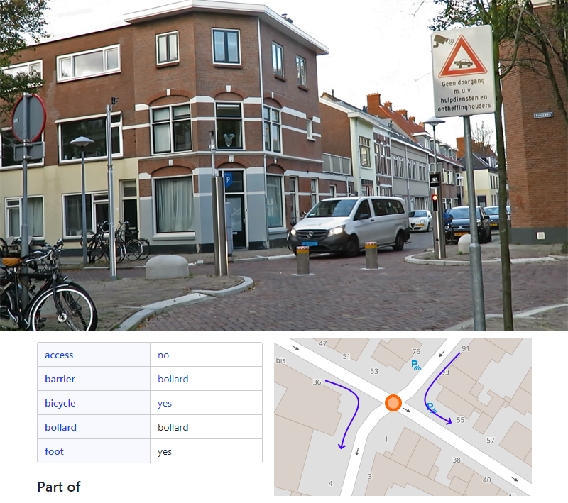
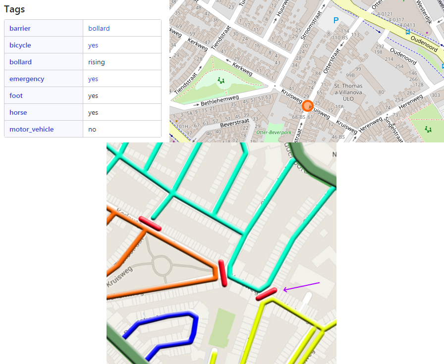
That isn’t the way I would map it. It gives a false impression that the roads connect, when they actually don’t. Also, like you suspected, the barrier on the intersection node would block vehicle routing through that intersection from any direction.
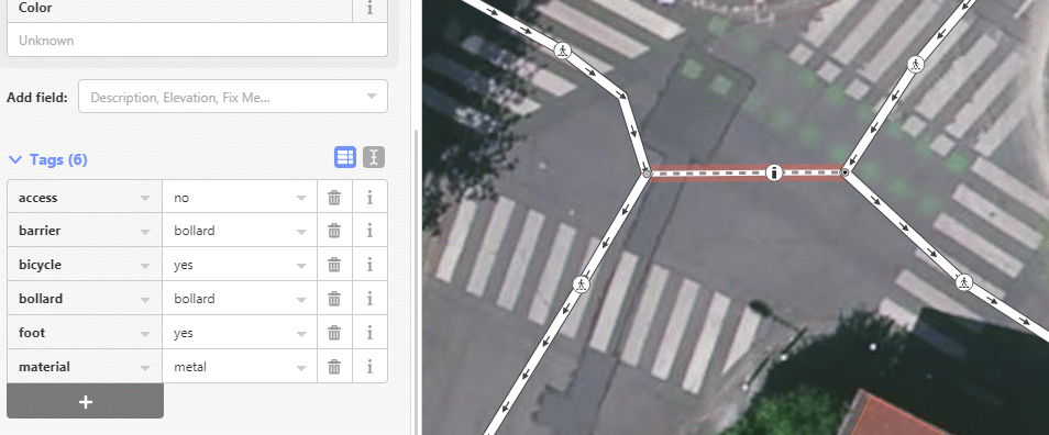
But I say the connecting way is an highway=service, maybe even an hw=residential. The bollard as to be mapped as a point and blocks all routing. As the bollard can be lowered into the ground (bollard=rising) some vehicles may pass (emergency, city service, bus, … ?). So it is no specific way for pedestrains/cyclists.