Agreed.
Deserts are relatively straightforward - sand will cover occasional foot traffic in many places within a year, which helps prevent informal paths from being created (though in some areas you have “biological crust” which should be avoided).
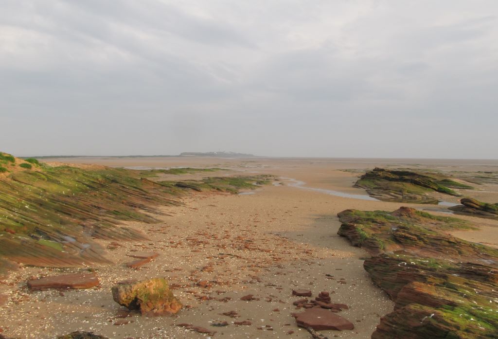
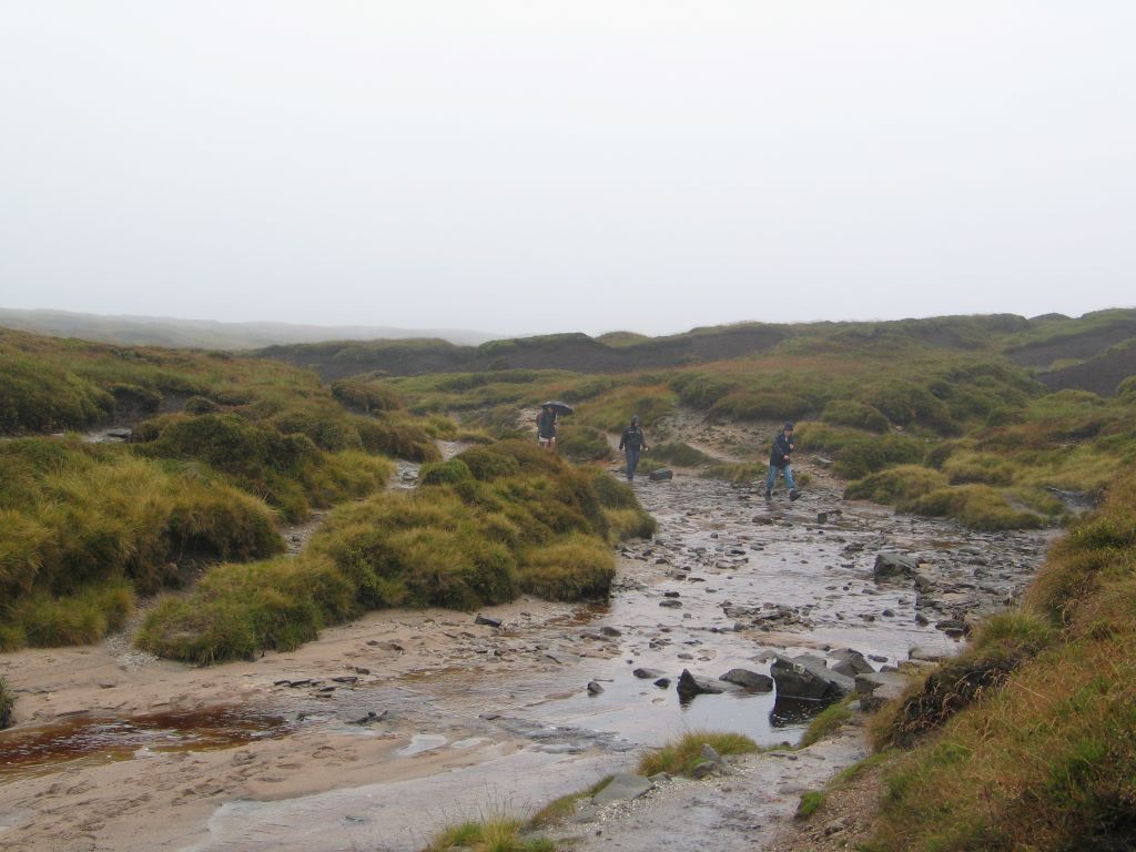
Paths can go onto slick rock as shown in the set of photos earlier in this thread which don’t hold any footprints at all but can be easily cairned. There are a lot of small cliffs in the rippling of sandstone which pose a navigational and safety hazard.
Generally long lines of sight, unless one is in a canyon, at which point things are pretty straightforward. Sedimentary cliffs tend to be problematic with different layers, having undercuts / overhangs along with strata that are very vertical are common, but finding routes that work up/down on fans caused by erosion is pretty easy to spot on topo using slope angle shading.
I’m personally mostly interested in the shorter routes up to a pass, side feature, etc rather than long multi-day routes. The longer ones, such as this previously mentioned 315km mix of paths and routes, I’m unsure about trying to represent in OSM.
Someone created and is selling a guide including “breadcrumbs” but said the following about it “My maps have breadcrumbs, not a line, in order to depict the route. Two reasons. First, there are oftentimes multiple routes to get you there. Second, I didn’t want to steal your fun by showing you the optimal route between points — you can figure that out.” in comments and then regarding a GPS track “No, there is not, intentionally. I would encourage you to ask yourself whether you need or want one. If you need one, the SHR is probably not the right route for you. If you want one, you probably know how to create one, or you can use this as an opportunity to learn.” Further comments showed that person found one online and it was useful for them. I haven’t bought the guide as I’ve done bits and pieces of nearly the entire SHR over the years just on my own trips.
I personally don’t want nodes in way so close together that they’d create a certain interpretation of a route, or create paths of that interpretation (though of course myself and others would be free to disregard it). That’s a pretty common feeling in the conversations I’ve had elsewhere was well. That said I am totally open to there being regional differences for the precision at which these routes are rendered. ![]()
People die from being off route in the US fairly regularly (which is why people need to know how to routefind!. That said the terrain in NZ tends to be incredibly vertical (and in the alps from what I know), both ranges have significantly more glaciation than a lot of the ranges in the Western US and don’t have the nice hanging basins that I and others enjoy so much, which would limit terrain. A lot of their normal trails are SAC T3-4 lol, which surprised me, and there’s not as many pleasant options for off-trail travel given vertically, thick brush, and areas that are boggy.
There’s been a useful back and forth on the US Trails group channel on node_networks. Someone in Germany came up with a “basic network” that could be worth looking at for ideas.